Les chemins de nos aînés
Add to my favorites

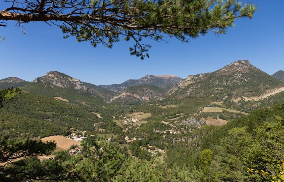
Les chemins de nos aînés
The characteristics of the route.

Saint-Ferréol-Trente-Pas (26)
- Distance 7.33 km
- Elevation gain 430 m
- Elevation lost 430 m
- Min. elevation 524 m
- Max. elevation. 938 m
- Duration (depending on pace) 2h32
- Marking Yes
Parking lot 100m before the La Baume post (alt. 526 m): a few roadside spaces.
1. From the parking lot, reach the La Baume crossroads (alt. 526m), and follow the path up towards the Angelettes farm. Before reaching the upper farm, take a small path to the right. This becomes a path.
2. Reach the old Chaudebonne cemetery (full of charm, worth a visit), turn left to climb up to Col Renard. This is the old path that linked the village of Chaudebonne to the 2 hamlets of Estellon (approx. 4km). Today, to reach these 2 places by road, you'll need to travel more than 13km.
3. At the Col Renard signpost (alt. 939m), take the left-hand path towards Vautour. After 15 minutes from the Col, you'll pass the Barnier farmhouse (old ruined farmhouse with 2 large lime trees: ideal place for a picnic under the trees, superb view). Continue along the same path.
4. Come to a house; at the Vautour post (alt. 821m), take the track down to the left.
5. Caution: after approx. 1km, leave the track for a path on the left, descending steeply into the undergrowth. Return to the hamlet of La Baume.Admission fee : Free access.Opening : All year round daily.
1. From the parking lot, reach the La Baume crossroads (alt. 526m), and follow the path up towards the Angelettes farm. Before reaching the upper farm, take a small path to the right. This becomes a path.
2. Reach the old Chaudebonne cemetery (full of charm, worth a visit), turn left to climb up to Col Renard. This is the old path that linked the village of Chaudebonne to the 2 hamlets of Estellon (approx. 4km). Today, to reach these 2 places by road, you'll need to travel more than 13km.
3. At the Col Renard signpost (alt. 939m), take the left-hand path towards Vautour. After 15 minutes from the Col, you'll pass the Barnier farmhouse (old ruined farmhouse with 2 large lime trees: ideal place for a picnic under the trees, superb view). Continue along the same path.
4. Come to a house; at the Vautour post (alt. 821m), take the track down to the left.
5. Caution: after approx. 1km, leave the track for a path on the left, descending steeply into the undergrowth. Return to the hamlet of La Baume.Admission fee : Free access.Opening : All year round daily.
Report a problem
Add your time and share your feelings
Services nearby

Lou Cafetoun Bar-Restaurant
Curnier
L'Adrien
Rémuzat
Neaclub les Lavandes Drôme Provençale
Rémuzat

Canyon découverte du Val d'Oule
Rémuzat
La Scourtinerie
Nyons


Information updated on 2026-07-05 by Conseil départemental de la Drôme


Follow us on
the digital trails
the digital trails



 Espace Trail of Baronnies in Drôme Provençale - Parcours - Les chemins de nos aînés
Hello, world! This is a toast message.
Espace Trail of Baronnies in Drôme Provençale - Parcours - Les chemins de nos aînés
Hello, world! This is a toast message.
Espace Trail of Baronnies in Drôme Provençale - Parcours - Les chemins de nos aînés
Hello, world! This is a toast message.


OK
Annuler