Le tour de Lance
Add to my favorites

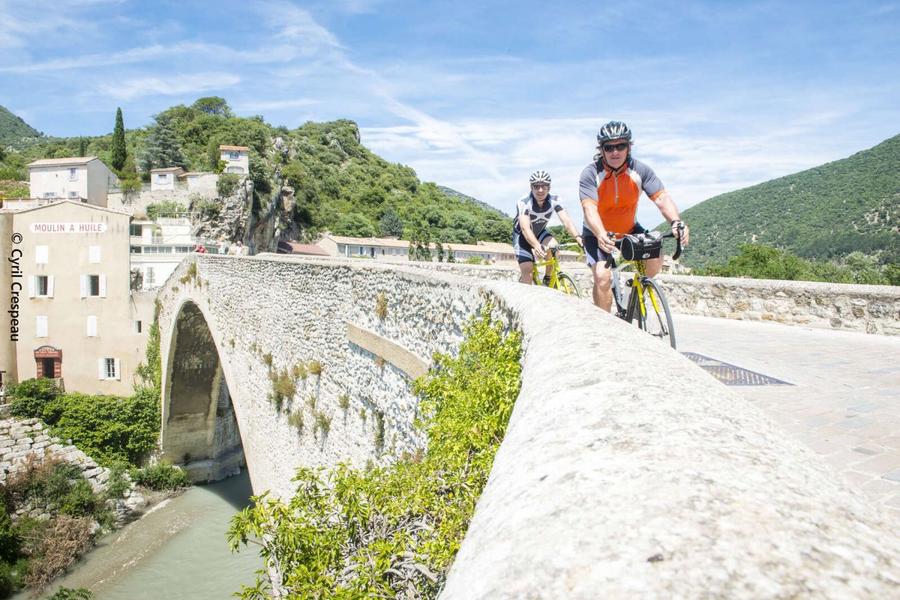
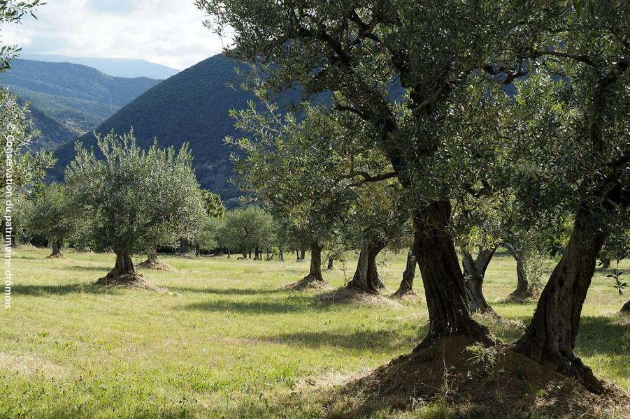
Departing from Nyons, this route crosses the south-east of the Dieulefit - Bourdeaux region, where the landscapes turn towards Provence. It's a "discovery" itinerary, with vegetation that's more rugged but, depending on the season, more colorful.
The characteristics of the route.

Nyons (26)
- Distance 57.81 km
- Elevation gain 800 m
- Elevation lost 800 m
- Min. elevation 262 m
- Max. elevation. 736 m
- Duration (depending on pace) 4h
- Marking Yes
It's a "discovery" itinerary of more active landscapes, with more rugged vegetation but, depending on the season, full of color. After Venterol and Rousset les Vignes, which smell so much of Provence, this excursion takes you up into the mountains, which in this region are called "serres". Although modest, the Col de Valouse can make your shirt wet and the Ravine de Valouse cold in the back. Saint Ferréol Trente Pas is a communal institution. The Condorcets who once occupied the central rock of the Bentrix valley are the ancestors of our humanist marquis of the same name. You're already back in Nyons, and a photo on the exceptional Romanesque bridge will bear witness to your conquest.Admission fee : Free access.Opening : All year round daily.
Report a problem
Add your time and share your feelings
Services nearby

Ecyclo
Nyons
Ecyclo
Nyons

Ecyclo
Nyons
Sports Evasion 26
Nyons
Coups de pédale dans les vignobles
Nyons


Information updated on 2026-07-05 by Conseil départemental de la Drôme


Follow us on
the digital trails
the digital trails



 Espace Trail of Baronnies in Drôme Provençale - Parcours - Le tour de Lance
Hello, world! This is a toast message.
Espace Trail of Baronnies in Drôme Provençale - Parcours - Le tour de Lance
Hello, world! This is a toast message.
Espace Trail of Baronnies in Drôme Provençale - Parcours - Le tour de Lance
Hello, world! This is a toast message.


OK
Annuler