Le col de la Fromagère
Add to my favorites

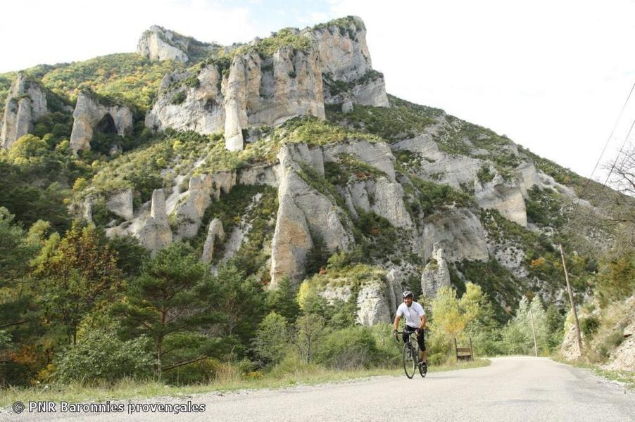
Between Drôme and Hautes Alpes, this charming 46 km, 865 m ascent loop takes you around the Aiguilles and Raton mountains. The Col de la Fromagère offers panoramic views of the hidden Pommerol valley.
The characteristics of the route.

Rémuzat (26)
- Distance 46.06 km
- Elevation gain 720 m
- Elevation lost 720 m
- Min. elevation 444 m
- Max. elevation. 1074 m
- Duration (depending on pace) 2h
- Marking Yes
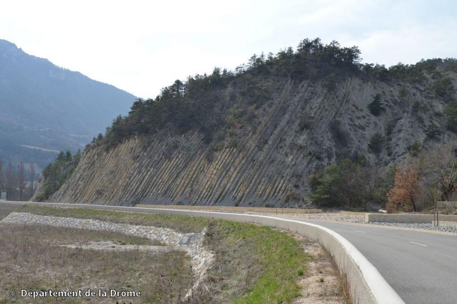
First you'll reach the small village of Verclause, then climb up to Rosans, where you can appreciate the 12th-century Tour Carrée around which this medieval village was built. A small road then takes you to the Col de la Fromagère (1,072 m alt.), with its passage through beech forest and its arrival at the panorama of the hidden Pommerol valley. The north-facing slope takes you through a wild landscape where limestone and erosion have combined so well that "fairy chimneys" still stand out in long silhouettes. Your route then heads east again, past the 16th-century Château de La Charce and the no less famous limestone strata of the Serre de l'Âne (a world-renowned geological site). Ideal season: September.Admission fee : Free access.Opening : All year round daily.
Report a problem
Add your time and share your feelings
Services nearby

Canyon découverte du Val d'Oule
Rémuzat
Neaclub les Lavandes Drôme Provençale
Rémuzat
L'Adrien
Rémuzat

Tiny Baronnies
Cornillac
Lou Cafetoun Bar-Restaurant
Curnier


Information updated on 2026-07-05 by Conseil départemental de la Drôme


Follow us on
the digital trails
the digital trails



 Espace Trail of Baronnies in Drôme Provençale - Parcours - Le col de la Fromagère
Hello, world! This is a toast message.
Espace Trail of Baronnies in Drôme Provençale - Parcours - Le col de la Fromagère
Hello, world! This is a toast message.
Espace Trail of Baronnies in Drôme Provençale - Parcours - Le col de la Fromagère
Hello, world! This is a toast message.


OK
Annuler