The tour of the peak of Cluzel
Add to my favorites

Route opened
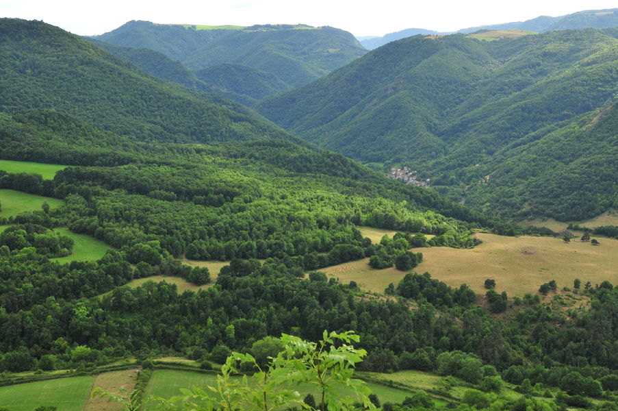
The tour of the peak of Cluzel takes place on a small path that rises gently, following the slopes of the oak wooded peak. Throughout this hike, the views of the valley are many and varied.
The characteristics of the route.
Courgoul (63)
- Distance 8.6 km
- Elevation gain 490 m
- Elevation lost 490 m
- Min. elevation 596 m
- Max. elevation. 824 m
- Duration (depending on pace) 2h45
- Marking Yes
Starting point - Go up the alley on the right of the church. At the first crossing, turn left and then immediately right. At the water trough, turn right and go up the path opposite. Continue the ascent on the main road to an intersection.
1 - Go down the path on the right. At the T-junction, continue the descent on the right until you reach the village of Pradelle. On the road, turn right until you reach a junction of a road on the left at the exit of the village (transformer post).
2 - Go up this path and continue until you reach a T-junction. Go down to the right (other PR on the left). At the fork, stay on the left. Continue (in the S-curve overlooking the Jonas caves and the Massif du Sancy) until you reach a stone bridge.
3 - Cross it and go down to the right. Go along the stream (ferruginous water source). At the road, turn right, cross the bridge over the Couze Pavin and immediately turn left. Go up into the woods and stay on the main path until you reach a fork.
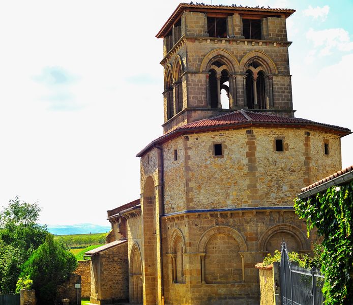
4 - Go down to the left (old coal ovens and at the headland overlooking the peak of Brionnet, the Notre-Dame du Mont-Carmel chapel and the Gourgoul gorges). Continue on the path (pailhats). At the road, turn right to reach the starting point.Marking : YellowAdmission fee : Free access.Opening : From 01/01 to 31/12. Subject to favorable weather.
1 - Go down the path on the right. At the T-junction, continue the descent on the right until you reach the village of Pradelle. On the road, turn right until you reach a junction of a road on the left at the exit of the village (transformer post).
2 - Go up this path and continue until you reach a T-junction. Go down to the right (other PR on the left). At the fork, stay on the left. Continue (in the S-curve overlooking the Jonas caves and the Massif du Sancy) until you reach a stone bridge.
3 - Cross it and go down to the right. Go along the stream (ferruginous water source). At the road, turn right, cross the bridge over the Couze Pavin and immediately turn left. Go up into the woods and stay on the main path until you reach a fork.
4 - Go down to the left (old coal ovens and at the headland overlooking the peak of Brionnet, the Notre-Dame du Mont-Carmel chapel and the Gourgoul gorges). Continue on the path (pailhats). At the road, turn right to reach the starting point.Marking : YellowAdmission fee : Free access.Opening : From 01/01 to 31/12. Subject to favorable weather.
Report a problem
Website
Add your time and share your feelings


Information updated on 2024-06-12 by Conseil départemental du Puy-de-Dôme


Agglo Pays d'Issoire
Service Sport
04 15 62 20 00
![]()
Communauté de Communes du Massif du Sancy
Pôle de Pleine Nature
04 73 65 24 48
 Espace Trail Cœur d'Auvergne - Parcours - The tour of the peak of Cluzel
Hello, world! This is a toast message.
Espace Trail Cœur d'Auvergne - Parcours - The tour of the peak of Cluzel
Hello, world! This is a toast message.
Espace Trail Cœur d'Auvergne - Parcours - The tour of the peak of Cluzel
Hello, world! This is a toast message.


OK
Annuler