Notre-Dame-De-Mailhat
Add to my favorites

Route opened
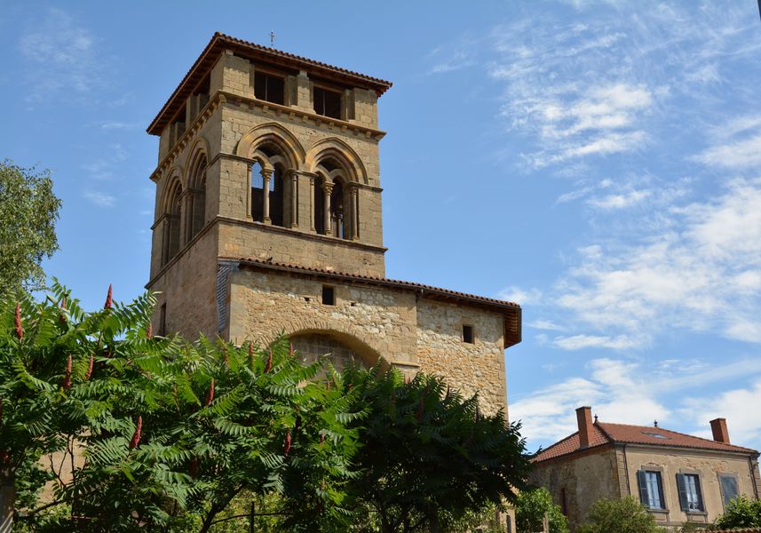
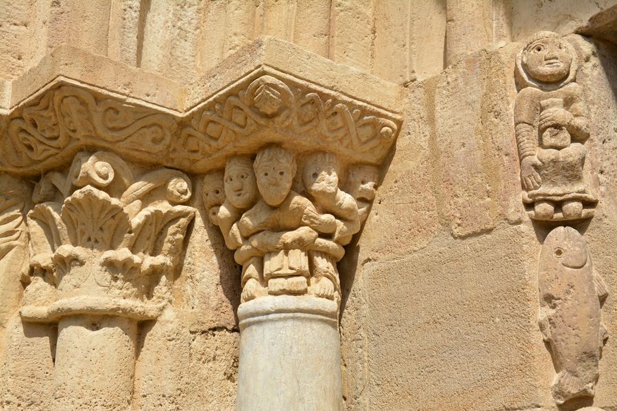
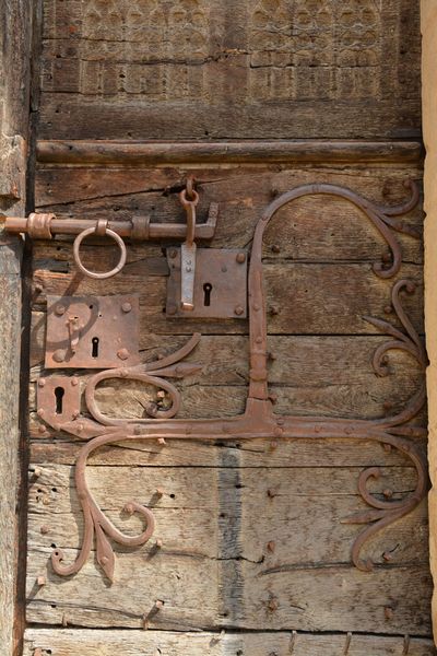
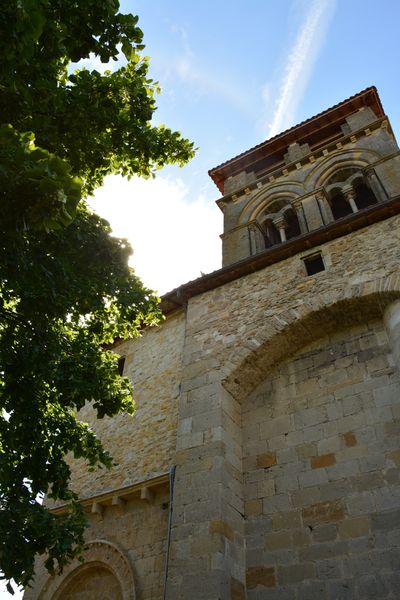
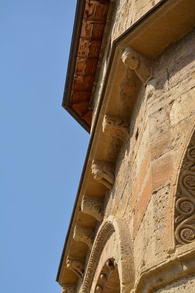
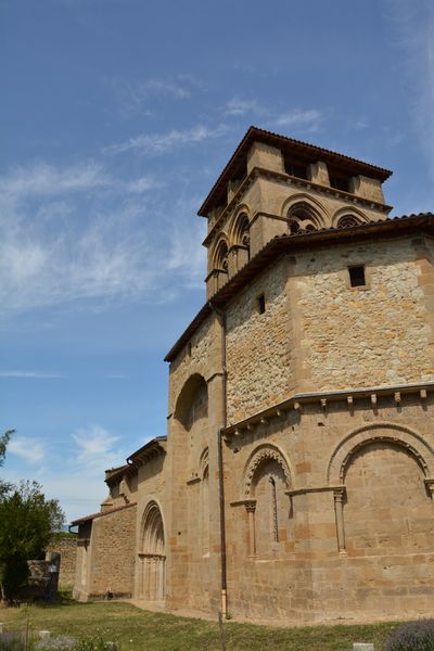
The old parish of Mailhat is a historic monument (1859) and its church built on a Gallo-Roman temple by the monks of Sauxillanges at the end of the 12th century in an elegant and ornate style that contrasts with the severity of the Romanesque style of the Auvergne region.
The characteristics of the route.

Nonette-Orsonnette (63)
- Distance 8.6 km
- Elevation gain 160 m
- Elevation lost 160 m
- Min. elevation 391 m
- Max. elevation. 507 m
- Duration (depending on pace) 2h30
- Marking Yes
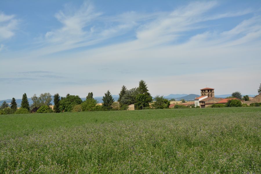
Starting point - From the starting sign, join the D123, take it on the right and then go up on the left the Chemin de la Fontaine. At the fork, turn right and continue upwards, leaving a path on the left (view of Nonette, the Sancy massif, the Cézallier, the Livradois). At the top of the hill, take the left track for 100 m then turn right and continue towards the church of Mailhat. Go through the village to the 12th century Romanesque church, continue until you leave the village.
1 - At the intersection with the D123A, turn right on it for 350 m and then take a road on the left until you reach the road. Turn right to Lamontgie. Enter the village and go to the square.
2 - Take the direction of Auzat, pass in front of the church and 50 m after the town hall, turn into the first street on the right which turns into a path. At the crossroads after the power line, turn left. At the cross of Plantiers, turn right and continue straight ahead until you reach a crossroads.
3 - Go down to the left and at the first intersection turn right. Continue until you reach a crossroads of 5 paths, take the one on the right towards Orsonnette. At the next intersection, go left and then immediately right. After the cemetery, continue to the right to reach the starting point.Marking : YellowAdmission fee : Free access.Opening : From 01/01 to 31/12. Subject to favorable weather.
Report a problem
Website
Add your time and share your feelings


Information updated on 2024-06-12 by Conseil départemental du Puy-de-Dôme


Agglo Pays d'Issoire
Service Sport
04 15 62 20 00
![]()
Communauté de Communes du Massif du Sancy
Pôle de Pleine Nature
04 73 65 24 48
 Espace Trail Cœur d'Auvergne - Parcours - Notre-Dame-De-Mailhat
Hello, world! This is a toast message.
Espace Trail Cœur d'Auvergne - Parcours - Notre-Dame-De-Mailhat
Hello, world! This is a toast message.
Espace Trail Cœur d'Auvergne - Parcours - Notre-Dame-De-Mailhat
Hello, world! This is a toast message.


OK
Annuler