The Puy des Plattes and the Bourgeassou
Add to my favorites

Route opened
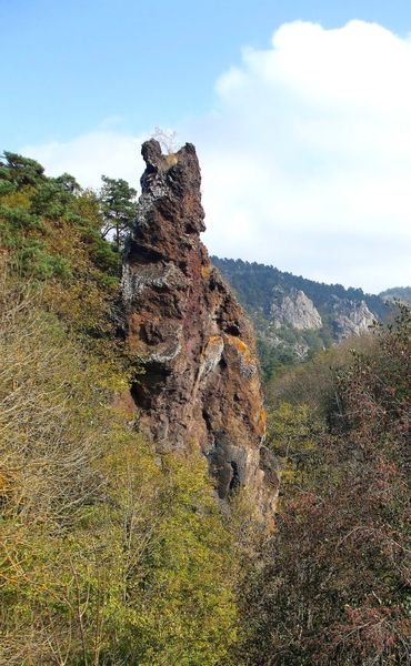
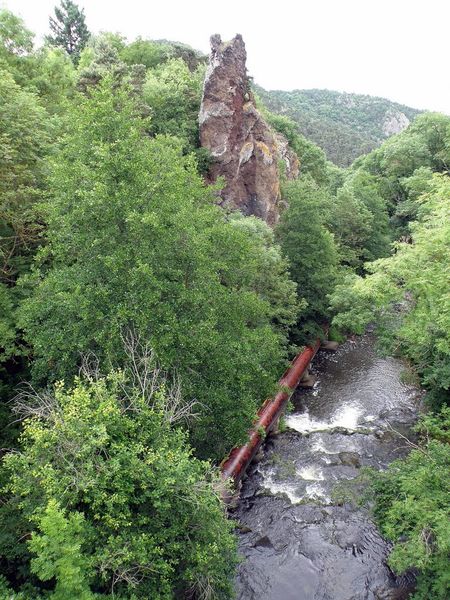
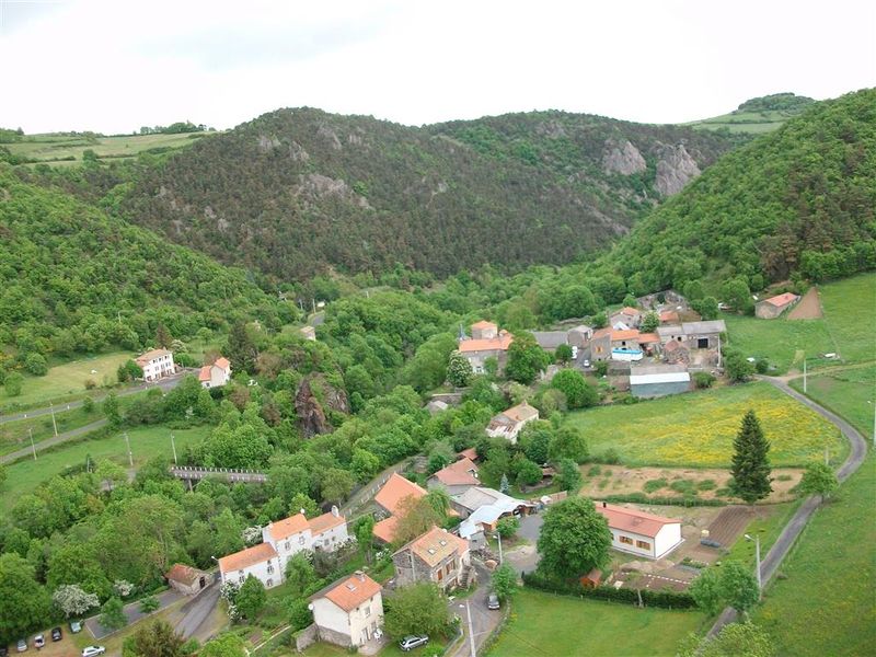
In this small paradise full of plants, the path runs along the couze Pavin and climbs towards the lime of Verrières, wrapping itself around the Puy des Plattes and Bourgeassou. The beautiful viewpoints invite you to join the Roche Longue (volcanic “dyke”).
The characteristics of the route.

Verrières (63)
- Distance 6.3 km
- Elevation gain 230 m
- Elevation lost 230 m
- Min. elevation 567 m
- Max. elevation. 739 m
- Duration (depending on pace) 2h
- Marking Yes
Starting point - From the starting sign, cross the bridge over the Couze-Chambon and turn right into rue de Charbonnière. At the end of the village continue straight ahead. Leave paths to the right and left, continue until you reach a crossroads.
1 - Go up the grassy path on the left, ignoring two paths on the right. At the asphalt road go up to the right. In the bend take the 2nd track to the left. After the wood (view of the Sancy massif), stay on the main path until you reach the big farm at the entrance of the village of Fontenille.
2 - Turn left, pass in front of a stable and go down to the woods. Continue along a steep path to Couze-Chambon, then follow it on a wide path to Verrières. At the first houses, turn right and reach the starting point.Marking : BlueAdmission fee : Free access.Opening : From 01/01 to 31/12. Subject to favorable weather.
1 - Go up the grassy path on the left, ignoring two paths on the right. At the asphalt road go up to the right. In the bend take the 2nd track to the left. After the wood (view of the Sancy massif), stay on the main path until you reach the big farm at the entrance of the village of Fontenille.
2 - Turn left, pass in front of a stable and go down to the woods. Continue along a steep path to Couze-Chambon, then follow it on a wide path to Verrières. At the first houses, turn right and reach the starting point.Marking : BlueAdmission fee : Free access.Opening : From 01/01 to 31/12. Subject to favorable weather.
Report a problem
Website
Add your time and share your feelings


Information updated on 2024-06-12 by Conseil départemental du Puy-de-Dôme


Agglo Pays d'Issoire
Service Sport
04 15 62 20 00

Communauté de Communes du Massif du Sancy
Pôle de Pleine Nature
04 73 65 24 48
 Espace Trail Cœur d'Auvergne - Parcours - The Puy des Plattes and the Bourgeassou
Hello, world! This is a toast message.
Espace Trail Cœur d'Auvergne - Parcours - The Puy des Plattes and the Bourgeassou
Hello, world! This is a toast message.
Espace Trail Cœur d'Auvergne - Parcours - The Puy des Plattes and the Bourgeassou
Hello, world! This is a toast message.




OK
Annuler