The Chapel of Roche-Charles
Add to my favorites

Route opened
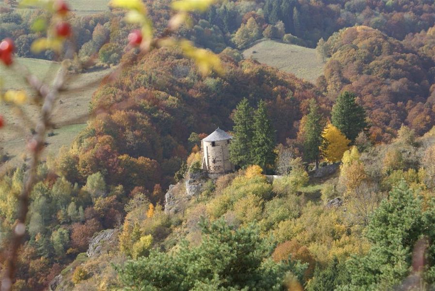
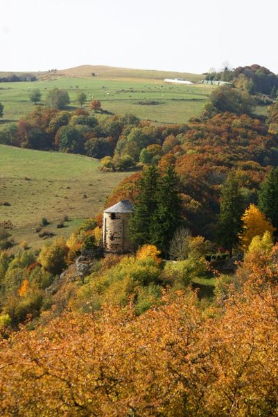
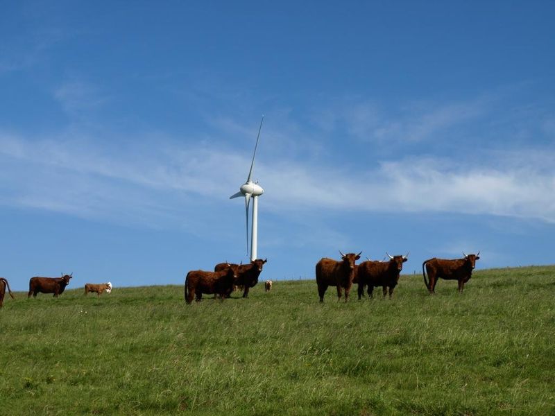
The start of the itinerary is marked by summer pastures. Then, we follow a pilgrimage path punctuated by an altar and calvaries. We enjoy very beautiful views of the valley carved by the streams of Roches-Charles and Sault which meet.
The characteristics of the route.

Roche-Charles-la-Mayrand (63)
- Distance 4.8 km
- Elevation gain 190 m
- Elevation lost 190 m
- Min. elevation 1031 m
- Max. elevation. 1150 m
- Duration (depending on pace) 2h
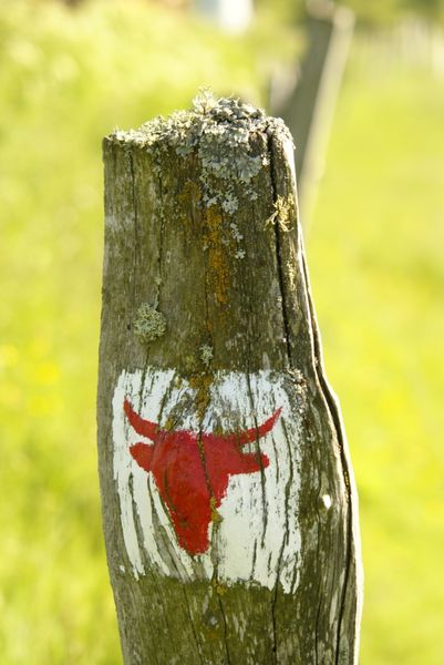
- Marking Yes
Starting point - Go down the small road and take the first road on the left. Cross a fence (stepladder), cross a wetland and go up to the edge of the plateau.
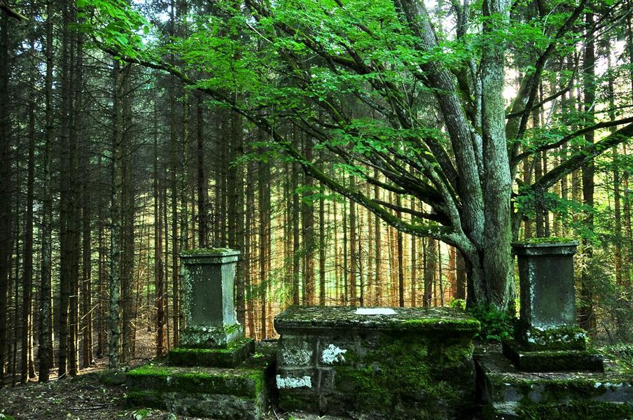
1 - On the plateau (point of view) progress due west in the meadows. Cross two other fences (viewpoint) and reach an information panel to discover the Roches-Charles site. Go down the path and then take a wide path on the left towards the chapel, until you reach a stone altar set in a clearing.
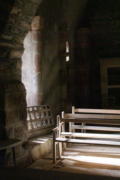
2 - Take the right track (Way of the Cross) which goes up to the cemetery and chapel of Roche-Charles. Turn around and return to point 2 by the same path. Go up on the plateau by the right track (crossing several fences) and continue by a path slightly marked on the hillside until the edge of the plateau.
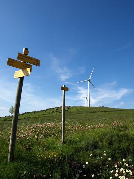
3 - On the plateau, walk along the fence (view of the Puys chain, the Sancy massif, the Cézallier mountains). Join a rural road, take it to the right and go to the road that leads back to Boslabert on the left along a wind farm.Marking : BlueAdmission fee : Free access.Opening : From 01/01 to 31/12. Subject to favorable weather.
1 - On the plateau (point of view) progress due west in the meadows. Cross two other fences (viewpoint) and reach an information panel to discover the Roches-Charles site. Go down the path and then take a wide path on the left towards the chapel, until you reach a stone altar set in a clearing.
2 - Take the right track (Way of the Cross) which goes up to the cemetery and chapel of Roche-Charles. Turn around and return to point 2 by the same path. Go up on the plateau by the right track (crossing several fences) and continue by a path slightly marked on the hillside until the edge of the plateau.
3 - On the plateau, walk along the fence (view of the Puys chain, the Sancy massif, the Cézallier mountains). Join a rural road, take it to the right and go to the road that leads back to Boslabert on the left along a wind farm.Marking : BlueAdmission fee : Free access.Opening : From 01/01 to 31/12. Subject to favorable weather.
Report a problem
Website 
laurcarlier
finished in 02:15:00
The 2024/08/18
En savoir plus
Ajouter votre chrono et partager vos sensations
2024/08/18 02:15:00
laurcarlier
laurcarlier
Sentier agréable mais pas assez entretenu sur la partie la plus raide. C'est dommage car en pleine montee, on est agressé par les orties et buissons divers... pas très chouette avec les enfants.
2024/08/18 02:15:00
laurcarlier
laurcarlier
Sentier agréable mais pas assez entretenu sur la partie la plus raide. C'est dommage car en pleine montee, on est agressé par les orties et buissons divers... pas très chouette avec les enfants.


Information updated on 2024-06-25 by Conseil départemental du Puy-de-Dôme


Agglo Pays d'Issoire
Service Sport
04 15 62 20 00

Communauté de Communes du Massif du Sancy
Pôle de Pleine Nature
04 73 65 24 48
 Espace Trail Cœur d'Auvergne - Parcours - The Chapel of Roche-Charles
Hello, world! This is a toast message.
Espace Trail Cœur d'Auvergne - Parcours - The Chapel of Roche-Charles
Hello, world! This is a toast message.
Espace Trail Cœur d'Auvergne - Parcours - The Chapel of Roche-Charles
Hello, world! This is a toast message.




OK
Annuler