The Chapel-sur-Usson
Add to my favorites

Route opened
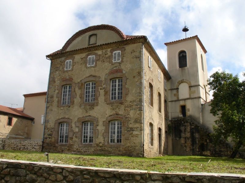
In the Middle Ages, the village community was built around the chapel. Clinging to a volcanic peak facing the Puys chain, the Dore mountains and the Cézallier plateau, Usson is classified as one of the "Most Beautiful Villages in France".
The characteristics of the route.

La Chapelle-sur-Usson (63)
- Distance 5.3 km
- Elevation gain 200 m
- Elevation lost 200 m
- Min. elevation 566 m
- Max. elevation. 692 m
- Duration (depending on pace) 1h30
- Marking Yes
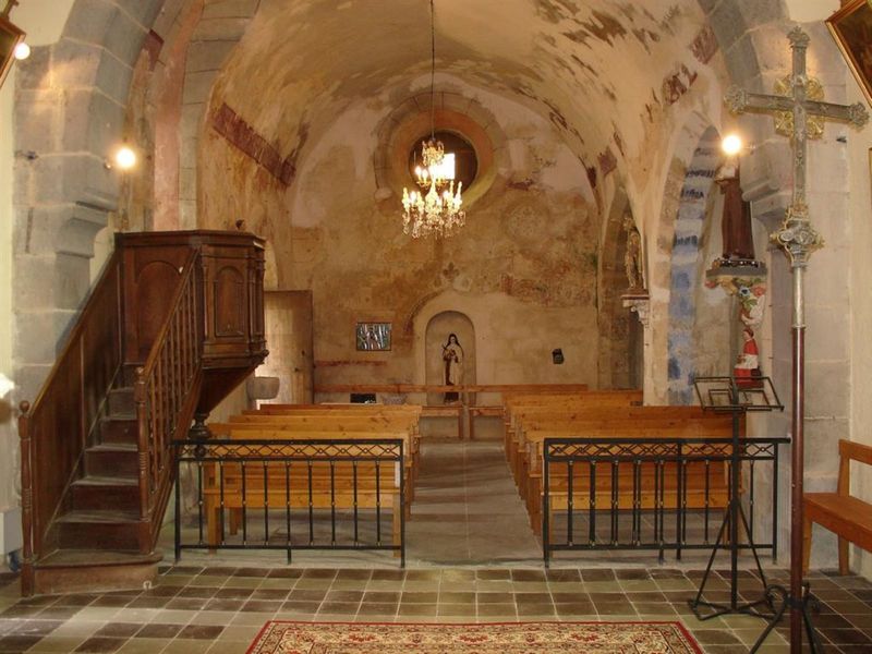
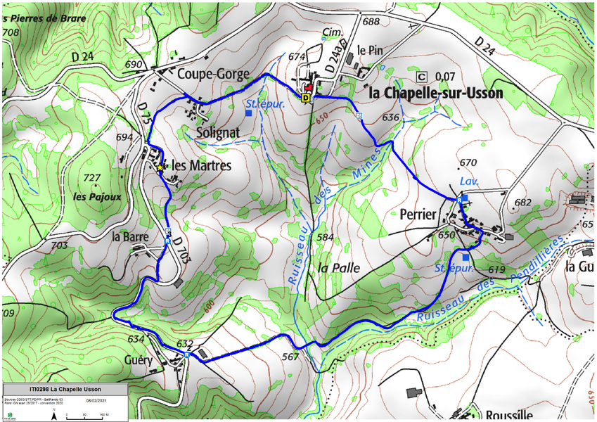
Starting point - Take the direction of Coupe-Gorge and then turn left towards Solignat. In Solignat leave the asphalt road and go down to the left to reach a crossroads planted with a chestnut tree in La Chapelle-sur-Usson (Romanesque church Saint-Julien; panorama on the Cézallier mountains).
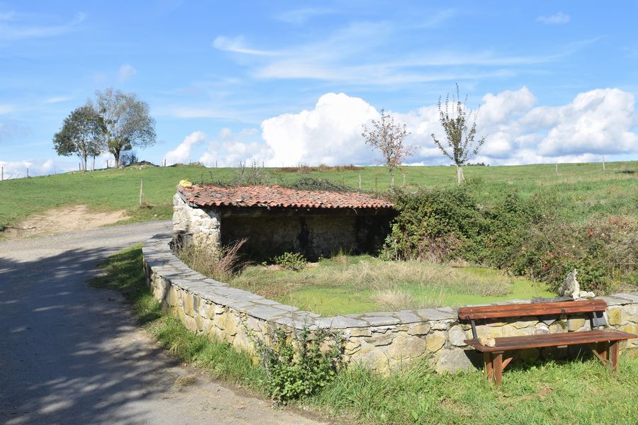
1 - Continue straight ahead to reach the washhouse at the crossroads at the entrance to Perrier.
2 - Take in the center to enter the village. 10 m before the water point on the left, go down to the right by a tarred road. At the treatment plant, continue to turn right and follow over Ruisseau des Pendillières; cross the Ruisseau des Mines by a bridge to go up to the D703.
3 - Turn right for about 800 m. Go up on the left a path that joins a paved road. Turn right for 100 m.
4 - Cross the D703 again and go down a grassy path opposite. In front of an old well go up on the left. In Les Martres, cross a tarred road to take opposite (old fountain from 1889). At the end of the village, turn right on a track below the D75 road. In Solignat, go up on the left the road previously used to reach Coupe-Gorge and the car park.Marking : BlueAdmission fee : Free access.Opening : From 01/01 to 31/12. Subject to favorable weather.
1 - Continue straight ahead to reach the washhouse at the crossroads at the entrance to Perrier.
2 - Take in the center to enter the village. 10 m before the water point on the left, go down to the right by a tarred road. At the treatment plant, continue to turn right and follow over Ruisseau des Pendillières; cross the Ruisseau des Mines by a bridge to go up to the D703.
3 - Turn right for about 800 m. Go up on the left a path that joins a paved road. Turn right for 100 m.
4 - Cross the D703 again and go down a grassy path opposite. In front of an old well go up on the left. In Les Martres, cross a tarred road to take opposite (old fountain from 1889). At the end of the village, turn right on a track below the D75 road. In Solignat, go up on the left the road previously used to reach Coupe-Gorge and the car park.Marking : BlueAdmission fee : Free access.Opening : From 01/01 to 31/12. Subject to favorable weather.
Report a problem
Website
Add your time and share your feelings


Information updated on 2024-06-12 by Conseil départemental du Puy-de-Dôme


Agglo Pays d'Issoire
Service Sport
04 15 62 20 00

Communauté de Communes du Massif du Sancy
Pôle de Pleine Nature
04 73 65 24 48
 Espace Trail Cœur d'Auvergne - Parcours - The Chapel-sur-Usson
Hello, world! This is a toast message.
Espace Trail Cœur d'Auvergne - Parcours - The Chapel-sur-Usson
Hello, world! This is a toast message.
Espace Trail Cœur d'Auvergne - Parcours - The Chapel-sur-Usson
Hello, world! This is a toast message.



OK
Annuler