Route 10 - Ardes - Augnat - Apchat
Add to my favorites

Route opened
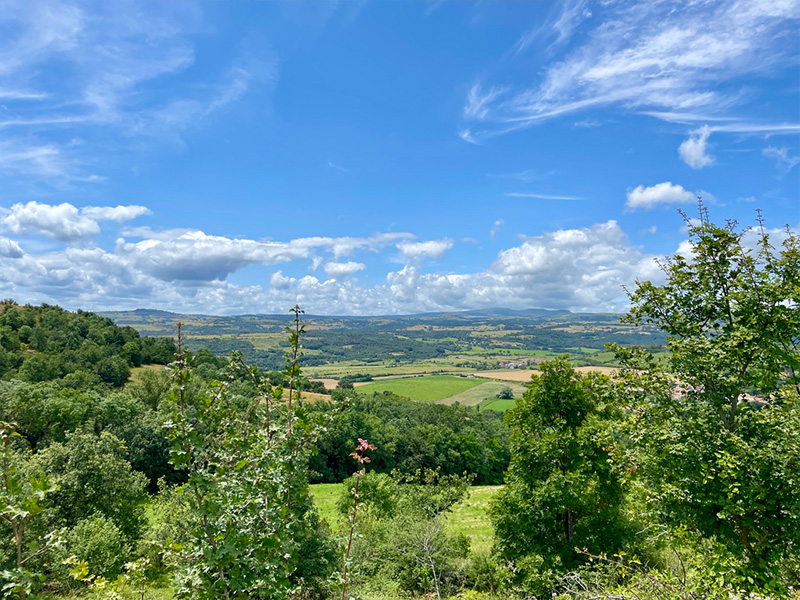
This is a beautiful route with no technical difficulties, but one that will get your heart and legs pumping! Your efforts will be rewarded by the superb panoramas offered by the route, particularly at the end of the long climb that follows the crossing of Augnat. This pretty loop alternates between forest paths, country lanes and typical hamlets, giving you a chance to see all the region has to offer!
Tempted to extend the distance? There are 19km and 28km routes signposted from the same starting point in Ardes-sur-Couze.
The characteristics of the route.

Ardes (63)
- Distance 12.96 km
- Elevation gain 380 m
- Elevation lost 380 m
- Min. elevation 587 m
- Max. elevation. 808 m
- Duration (depending on pace) 1h15 à 2h50
- Suivre le balisage Trail-running n°10 green

Report a problem
Pdf file route 10
Add your time and share your feelings


Agglo Pays d'Issoire
Service Sport
04 15 62 20 00
![]()
Communauté de Communes du Massif du Sancy
Pôle de Pleine Nature
04 73 65 24 48
 Espace Trail Cœur d'Auvergne - Parcours - Route 10 - Ardes - Augnat - Apchat
Hello, world! This is a toast message.
Espace Trail Cœur d'Auvergne - Parcours - Route 10 - Ardes - Augnat - Apchat
Hello, world! This is a toast message.
Espace Trail Cœur d'Auvergne - Parcours - Route 10 - Ardes - Augnat - Apchat
Hello, world! This is a toast message.


OK
Annuler