
This beautiful route at the gateway to the Cézallier invites you to extend the distance and take to the heights, while remaining accessible with a moderate technical difficulty and gradient.
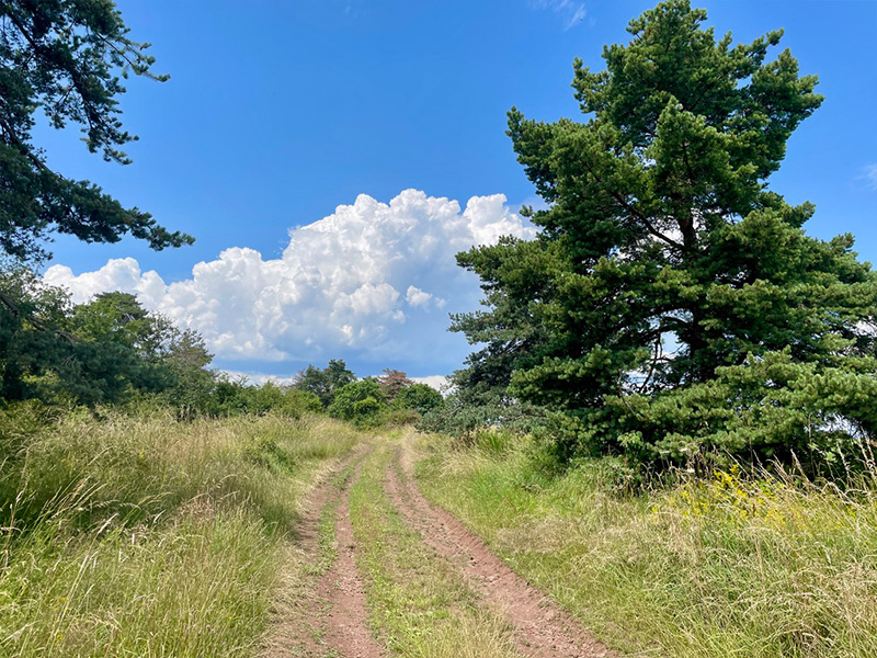
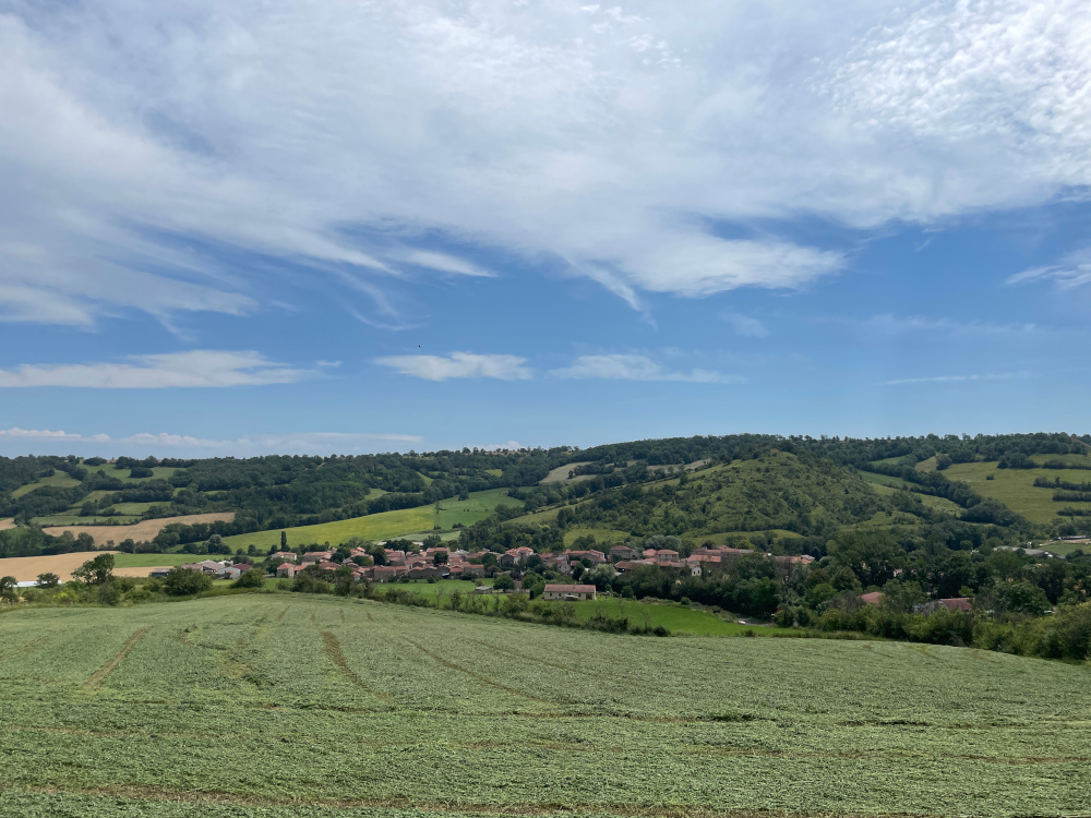
Once you've left the pretty village of Ardes-sur-Couze and the road behind you, all you have to do is enjoy the panoramic views afforded by the gaps in the trees lining the forest paths as far as the village of Augnat. The next section of the route takes you through fields of wheat, before climbing back up to the highest point, first in the forest and then in a superb linear section of ridge where the panorama is almost 360°. A steep descent marks the start of the final part of the route back to Ardes, passing through the pretty village of Apchat.
While the elevation gain is never insurmountable, this route will put your calves and thighs to the test, with some pleasant climbs and fine descents, punctuated by superb views between the Lembron and Cézallier mountains.

- Distance 18.79 km
- Elevation gain 459 m
- Elevation lost 459 m
- Min. elevation 543 m
- Max. elevation. 807 m
- Duration (depending on pace) 2h à 4h10
- Suivre le balisage Trail-running n°11 blue


Agglo Pays d'Issoire
Service Sport
04 15 62 20 00
![]()
Communauté de Communes du Massif du Sancy
Pôle de Pleine Nature
04 73 65 24 48
 Espace Trail Cœur d'Auvergne - Parcours - Route 11 - Le Caure
Espace Trail Cœur d'Auvergne - Parcours - Route 11 - Le Caure
Espace Trail Cœur d'Auvergne - Parcours - Route 11 - Le Caure
Espace Trail Cœur d'Auvergne - Parcours - Route 11 - Le Caure
Espace Trail Cœur d'Auvergne - Parcours - Route 11 - Le Caure

