
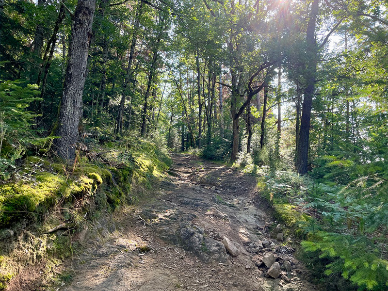
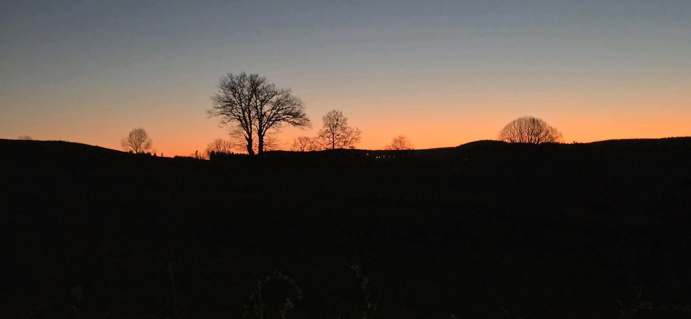
From Vernet-la-Varenne, set off to discover an hilly area offering numerous viewpoints to the west of the Monts du Livradois. After an initial rolling section between the starting point and the equestrian centre, the route takes you through the hamlets of Le Mas and Toiras, where the first technical section awaits. After a fine descent, a number of bridges will guide you along either side of the Pouchon stream, before you climb back up to Genestine, via the first difficulty of the day. The route then takes you down into a small valley before heading back up towards Chaméane, the scene of Maquis resistance in 1944. When you reach the halfway point, you descend again, this time towards the river Veysson, which you pass alongside before tackling the return journey. Large, undulating stretches of forest follow one another over the kilometres. As you climb back up to the plateau, you'll enjoy some lovely views of the surrounding area, before continuing on towards Le Vernet, your starting point.

- Distance 24.15 km
- Elevation gain 720 m
- Elevation lost 720 m
- Min. elevation 623 m
- Max. elevation. 918 m
- Duration (depending on pace) 2h35 à 5h10
- Suivre le balisage Trail-running n°14 blue


Agglo Pays d'Issoire
Service Sport
04 15 62 20 00
![]()
Communauté de Communes du Massif du Sancy
Pôle de Pleine Nature
04 73 65 24 48
 Espace Trail Cœur d'Auvergne - Parcours - Route 14 - Entre le Vernet et Chaméane
Espace Trail Cœur d'Auvergne - Parcours - Route 14 - Entre le Vernet et Chaméane
Espace Trail Cœur d'Auvergne - Parcours - Route 14 - Entre le Vernet et Chaméane
Espace Trail Cœur d'Auvergne - Parcours - Route 14 - Entre le Vernet et Chaméane
Espace Trail Cœur d'Auvergne - Parcours - Route 14 - Entre le Vernet et Chaméane

