Route 50 blue - Circuit de Castennec
Add to my favorites

Circuit fermé jusqu'à nouvel ordre.
Route closed

The characteristics of the route.

Bieuzy (56)
- Distance 12 km
- Elevation gain 260 m
- Elevation lost 250 m
- Min. elevation 39 m
- Max. elevation. 153 m
- Duration (depending on pace) 1h à 2h15

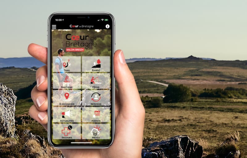
Find all the routes in your smartphone
Available this summer, the application Coeur de Bretagne will allow you to find all the trail running and hiking trails on your smartphone.
You will find many features in this application:
- locate yourself the route
- download data for offline access
- take advantage of detailed IGN maps
- add your chrono on the route
- find the services nearby...

Add your time and share your feelings
Services nearby

La maison de Jeanne
Pluméliau-Bieuzy

Office de tourisme de Centre Morbihan Communauté - Accueil Saint-Nicolas-des-Eaux
Saint-Nicolas-des-Eaux

Camping Le Clos du Blavet
Pluméliau-Bieuzy

Gîte d'étape Ty Bihui
Pluméliau-Bieuzy

Coet-Kerven
Melrand
OK
Annuler


