Route 1 green - Circuit trail des Brigands
Add to my favorites

Route opened
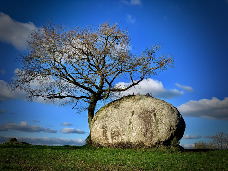
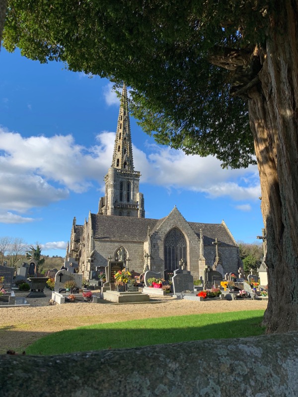
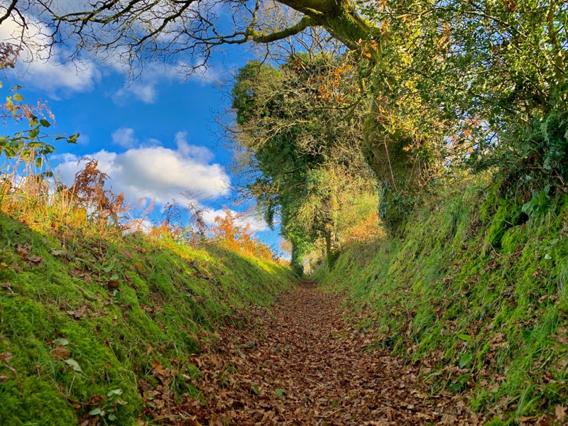
In the heart of the Brittany countryside, between sunken paths, granite chaos and pastures, you will discover a very varied route, offering different kinds of paths and landscapes. The itinerary does not present any technical difficulties and will be suitable for beginners as well as experienced trail-runners looking for a loop to work on speed and changes of rythms. A beautiful discovery in the heart of unsuspected Brittany...
The characteristics of the route.

Bulat-Pestivien (22)
- Distance 10.5 km
- Elevation gain 180 m
- Elevation lost 180 m
- Min. elevation 225 m
- Max. elevation. 292 m
- Duration (depending on pace) 0h50 à 1h45
- Marking Trail-running signs n°1 green

Get every route in your smartphone
The Cœur de Bretagne app allows you to find all the trail running, hiking, biking and horseriding trails on your smartphone, and much more!
A lot of features are in the app, including:
- geolocalisation on the route
- download data for offline access
- detailed IGN maps
- add your chrono on the route
- find the services nearby...

The last times
Anais56
The 2022/11/12
En savoir plus
Samlor812
The 2022/08/05
En savoir plus
orlanecoeurdebretagne
The 2021/07/19
En savoir plus
Admin
The 2024/04/17
En savoir plus
Voir tous les chronos
2022/11/12 Anais56
Magnifique. Merci pour le balisage !
Attention au 8ieme kilomètre balise tombée.
2022/08/05 Samlor812
Super sortie ! Un peu sportive parfois à cause des arbustes, ronces et autres, mais franchement beaucoup de plaisir avec beaucoup de variations de terrain et de paysages divers. Les panneaux étaient parfois un peu cachés mais avec l'application c'était parfait. Merci pour ce tracé ! Moi qui suis en vacances, j'ai pu découvrir un bel endroit
2021/07/19 orlanecoeurdebretagne
Très beau parcours.
2024/04/17 Admin - Trace de Trail
Services nearby

Office de tourisme de Guingamp - Baie de Paimpol - Accueil Callac
Callac

Gite Colet Even Bras
Colet even Bras 22480 Peumerit-Quintin
Gîte de Loc Envel
Loc Envel
Moulin de Ponchou-Léguer
Belle-Isle-en-Terre
Office de tourisme de Guingamp - Baie de Paimpol - Accueil Belle-Isle-en-Terre
Belle-Isle-en-Terre


Follow us on
the digital trails
the digital trails


![]()
Infos & contact
Destination Coeur de Bretagne - Kalon Breizh
6 rue Joseph Pennec
22110 Rostrenen
Tel. +33(0)2 96 29 26 53


OK
Annuler