Route 70 green - Anse de Landroannec
Add to my favorites

Caution: Due to the storms that happened in November, some tracks may be impracticable or closed. Before going out, please contact the local authorities to have more information.
Warning

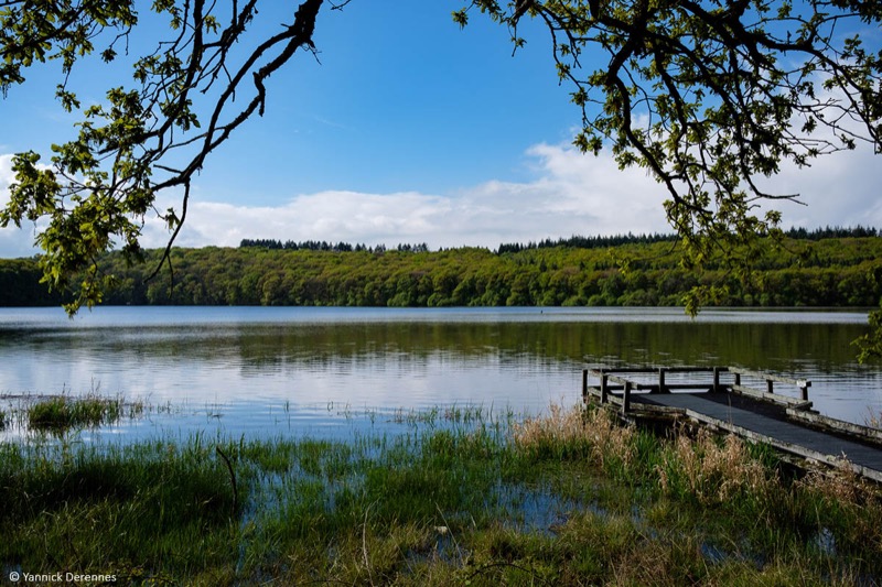
This loop from the Guerlédan leisure center consists of a first part along the Anse de Landroanec and then the Correc wood. The second part from the village of Caurel will be ideal for a specific speed training along the Greenway (former railway line) A varied itinerary, without technical difficulties, perfect for a sequenced training (warm-up - speed work - return to calm).
The characteristics of the route.

Guerlédan (22)
- Distance 10.23 km
- Elevation gain 146 m
- Elevation lost 146 m
- Min. elevation 121 m
- Max. elevation. 174 m
- Duration (depending on pace) 0h45 à 1h45
- Marking Trail-running signs n70 green

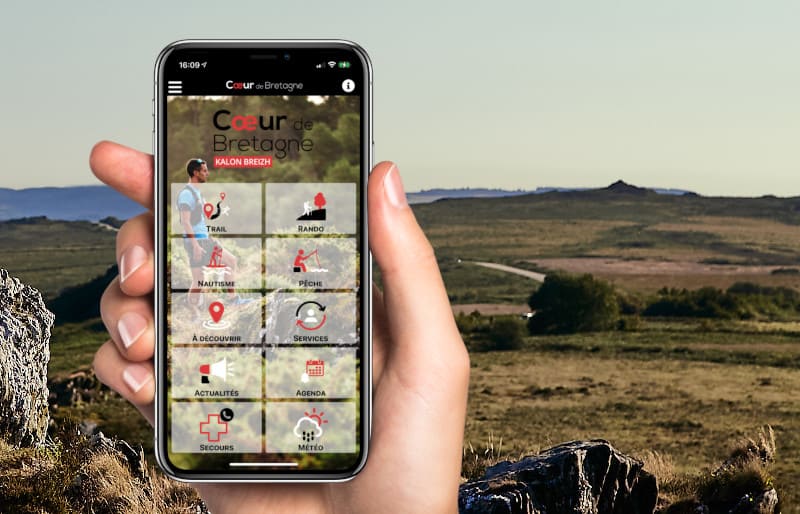
Get every route in your smartphone
The Cœur de Bretagne app allows you to find all the trail running, hiking, biking and horseriding trails on your smartphone, and much more!
A lot of features are in the app, including:
- geolocalisation on the route
- download data for offline access
- detailed IGN maps
- add your chrono on the route
- find the services nearby...

Add your time and share your feelings
Services nearby

Base départemental de plein air
Guerlédan

Camping Le point de Vue
Guerlédan

Village Club Miléade
Guerlédan

L'âne Brasseur
Saint -Aignan

Trail du Lac
Guerlédan - Mûr de Bretagne
OK
Annuler


