Route 2 blue - Circuit trail autour de la Vallée des Papeteries
Add to my favorites

Route opened
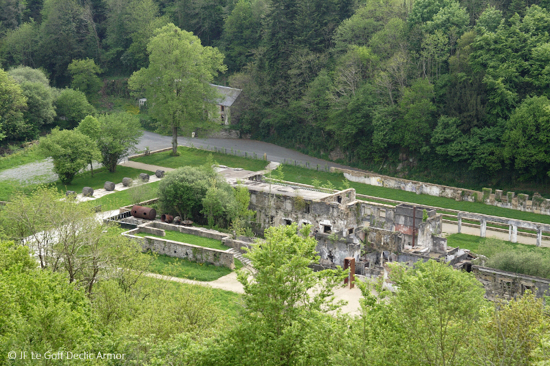
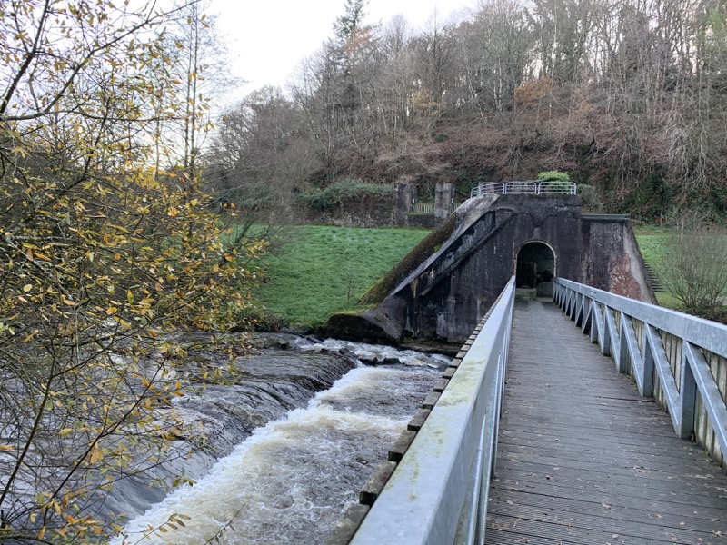
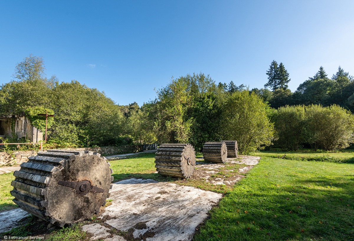
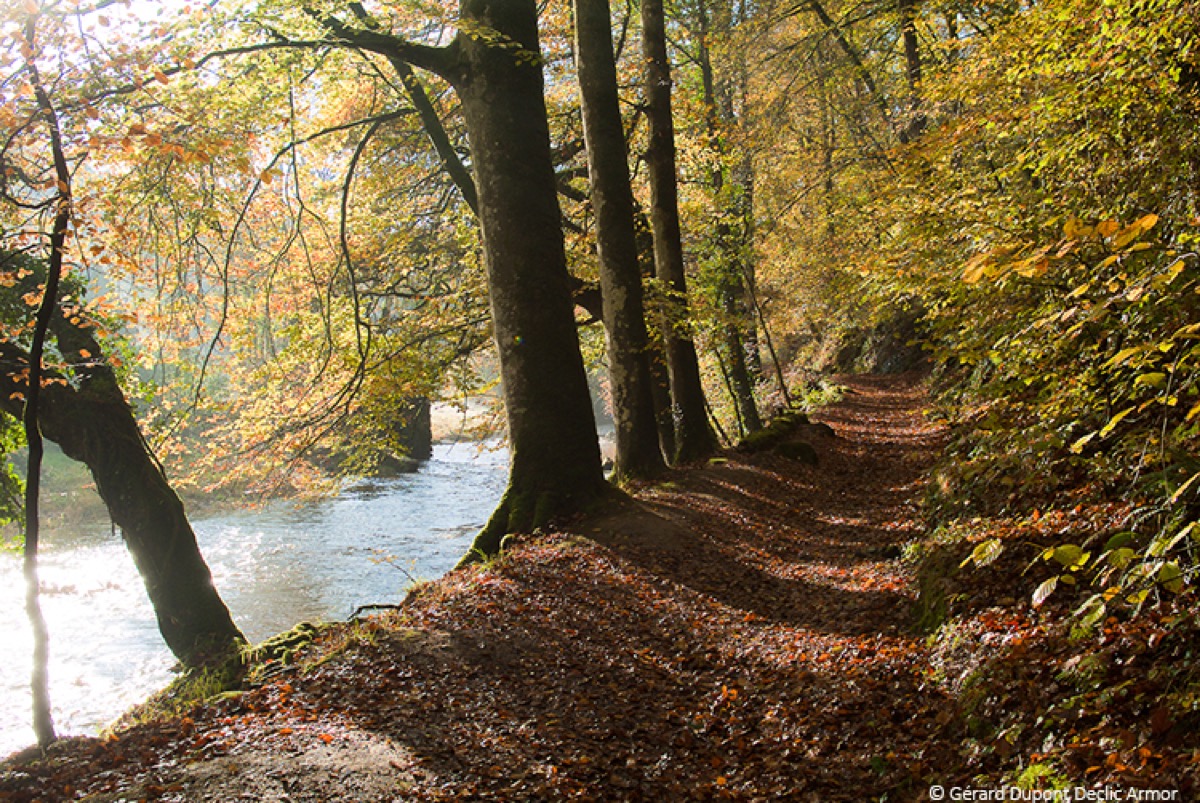
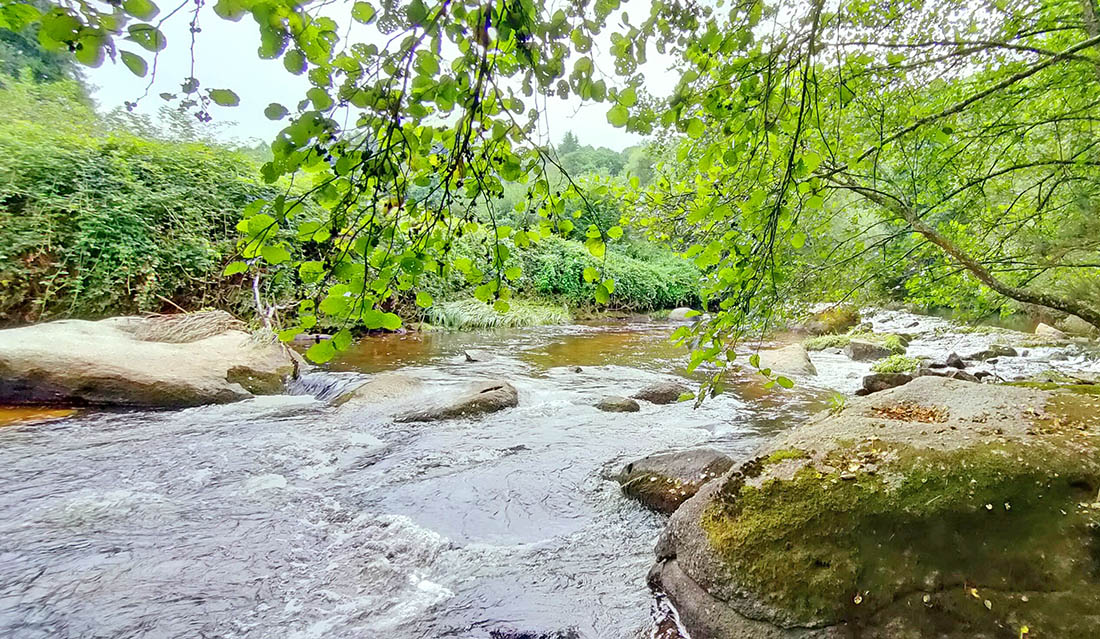
Departing from the Belle-Isle-en-Terre tourism office, this circuit will take you to the site of the former Valley paper-mills and the Kernansquillec dam, remnants of an important industrial activity between the 19th and 20th centuries. All along the itinerary, you will discover the Léguer river, classified as a wild river, an exceptional fishing site.
The characteristics of the route.

Belle-Isle-en-Terre (22)
- Distance 10.22 km
- Elevation gain 218 m
- Elevation lost 218 m
- Min. elevation 69 m
- Max. elevation. 132 m
- Duration (depending on pace) 1h à 2h
- Marking Trail-running signs n°2 blue

Get every route in your smartphone
The Cœur de Bretagne app allows you to find all the trail running, hiking, biking and horseriding trails on your smartphone, and much more!
A lot of features are in the app, including:
- geolocalisation on the route
- download data for offline access
- detailed IGN maps
- add your chrono on the route
- find the services nearby...

Samlor812
The 2022/08/05
En savoir plus
Ajouter votre chrono et partager vos sensations
2022/08/05 Samlor812
Beau parcours, calme et frais! Top
2022/08/05 Samlor812
Beau parcours, calme et frais! Top
Services nearby

Office de tourisme de Guingamp - Baie de Paimpol - Accueil Belle-Isle-en-Terre
Belle-Isle-en-Terre

Moulin de Ponchou-Léguer
Belle-Isle-en-Terre
Gîte de Loc Envel
Loc Envel
Office de tourisme de Guingamp - Baie de Paimpol - Accueil Callac
Callac
Office de tourisme de Guingamp - Baie de Paimpol
Guimgamp


Follow us on
the digital trails
the digital trails


![]()
Infos & contact
Destination Coeur de Bretagne - Kalon Breizh
6 rue Joseph Pennec
22110 Rostrenen
Tel. +33(0)2 96 29 26 53
 Destination Cœur de Bretagne - Parcours - Route 2 blue - Circuit trail autour de la Vallée des Papeteries
Hello, world! This is a toast message.
Destination Cœur de Bretagne - Parcours - Route 2 blue - Circuit trail autour de la Vallée des Papeteries
Hello, world! This is a toast message.
Destination Cœur de Bretagne - Parcours - Route 2 blue - Circuit trail autour de la Vallée des Papeteries
Hello, world! This is a toast message.


OK
Annuler