Le Châtel en boucle
Add to my favorites

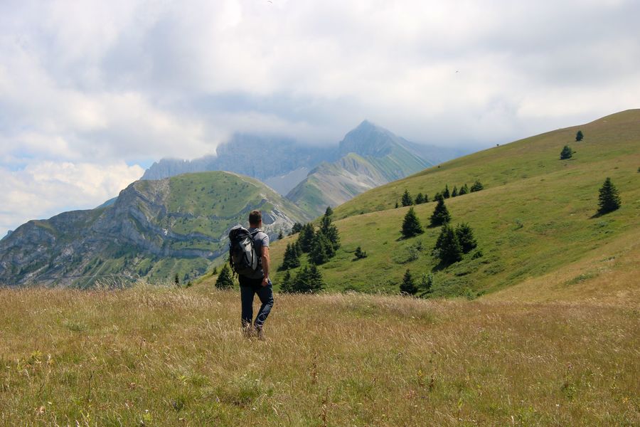
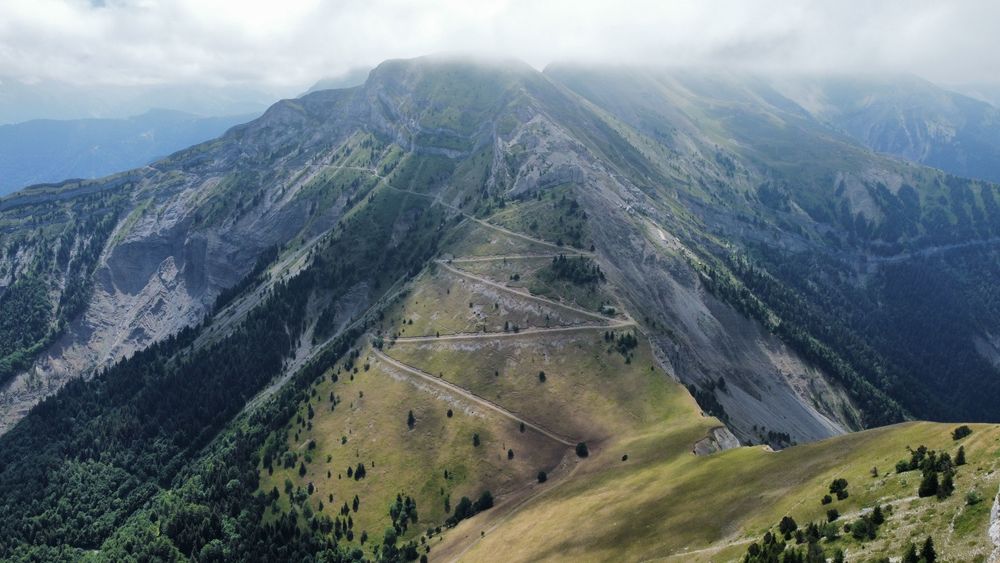
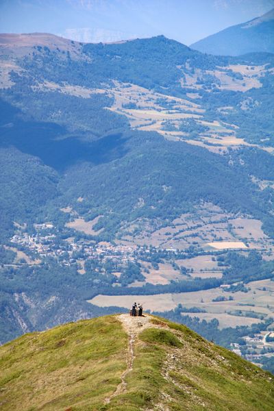
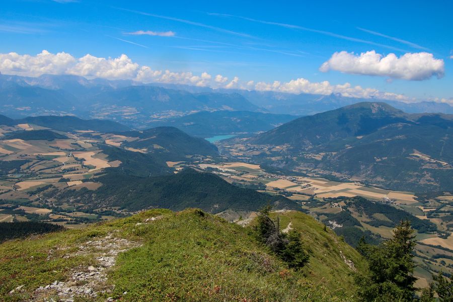
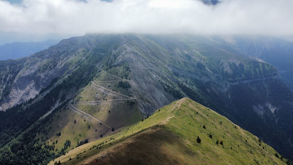
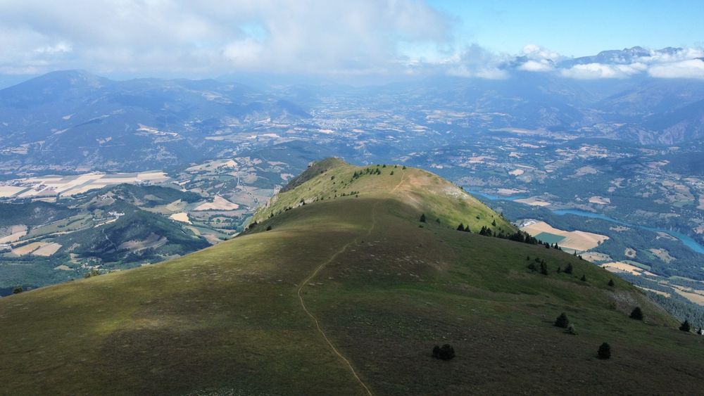
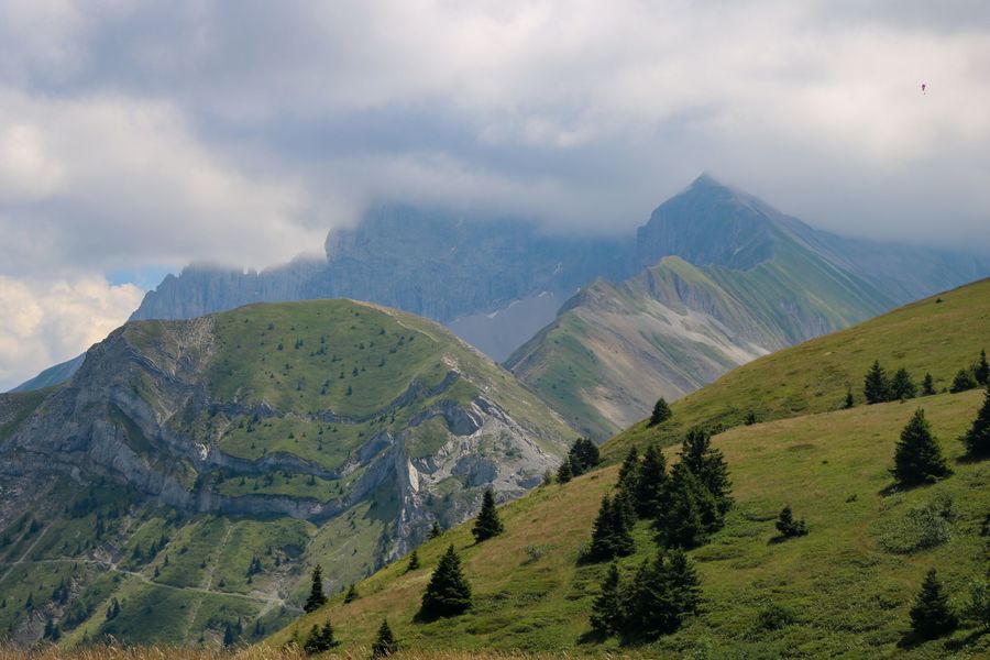
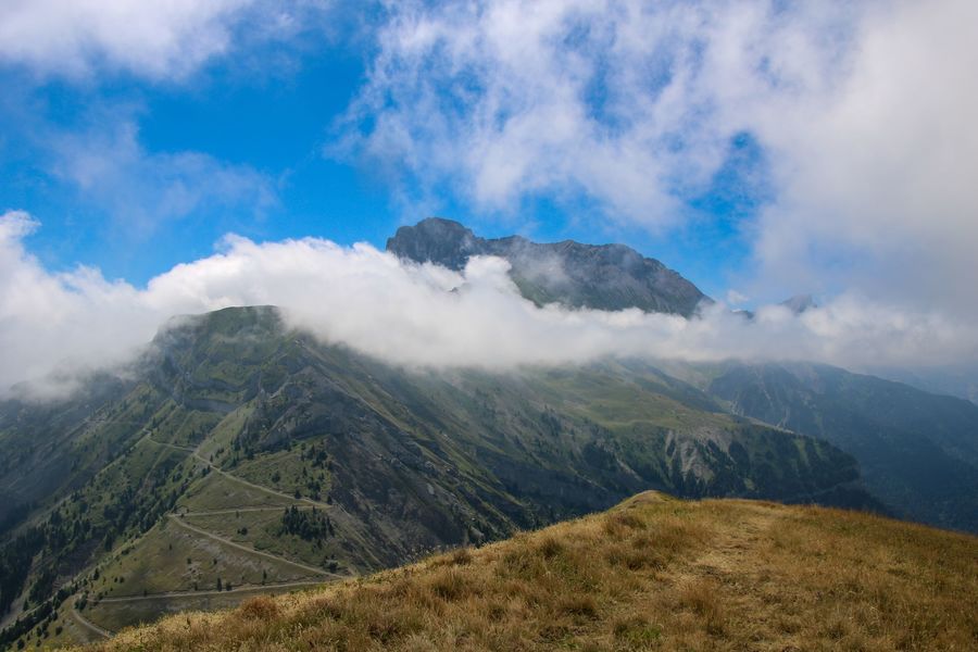
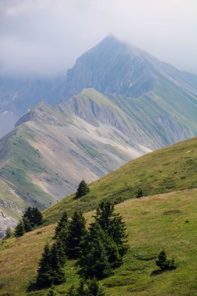
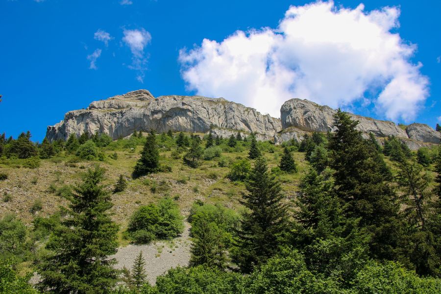
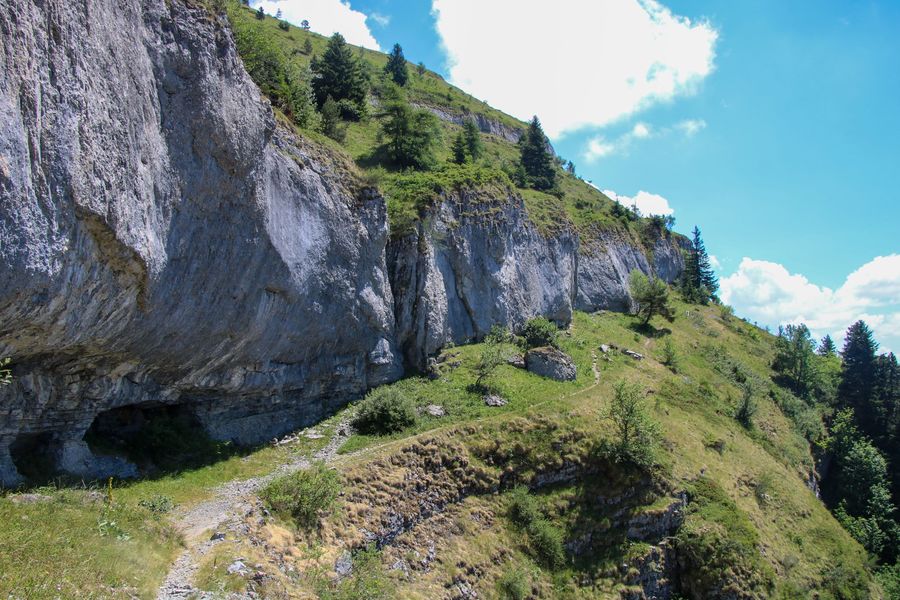
Partez pour une randonnée emblématique offrant des vues panoramiques sur tout le Trièves, le Dévoluy et les Écrins. Le sommet du Châtel est un grand alpage offrant une vue parfaite sur l'Obiou, un autre sommet emblématique.
The characteristics of the route.

Mens (38)
- Distance 8.5 km
- Elevation gain 680 m
- Elevation lost 680 m
- Min. elevation 1289 m
- Max. elevation. 1935 m
- Duration (depending on pace) 4h
- Marking Yes
Equipments : Car park, Sustainable development, Outhouse, Free car park, Admission fee : Free access.Opening : All year round.
Subject to favorable weather.
Area : Trièves
Report a problem Add a comment
Website Pdf file Pdf file Features of the application :
- Location and orientation on detailed maps thanks to the GPS of your smartphone
- Description of routes and points of interest on the route
- Photo gallery by route
- Detailed elevation profile
- Route tracking alert to warn you if you stray from the route
- Send predefined messages by SMS to your contacts
- Emergency module: trigger a call or send an emergency SMS in case of problem
- Agenda: access to events organized in the department
- News: find in the application the latest news on the web portal
- Adding achievements
- Add reports in case of problems encountered on the routes
- Share on social networks
Add your time and share your feelings
Services nearby

Bureau d'Informations Touristiques de Mens - Office de Tourisme du Trièves
Mens

Musée du Trièves
Mens

Foyer nordique de Tréminis
Tréminis
Museum "Musée Matheysin"
La Mure
Point d'information Tréminis
Tréminis


Information updated on 2022-07-22 by Office de Tourisme du Trièves


Follow us on
the digital trails
the digital trails


![]()
The Isère Outdoor application was created
by the Département de l'Isère
Infos & contact
Conseil départemental de l'Isère
7 rue Fantin Latour
CS 41096
38 022 Grenoble cedex 1
Tel. 04 76 00 38 38


OK
Annuler