
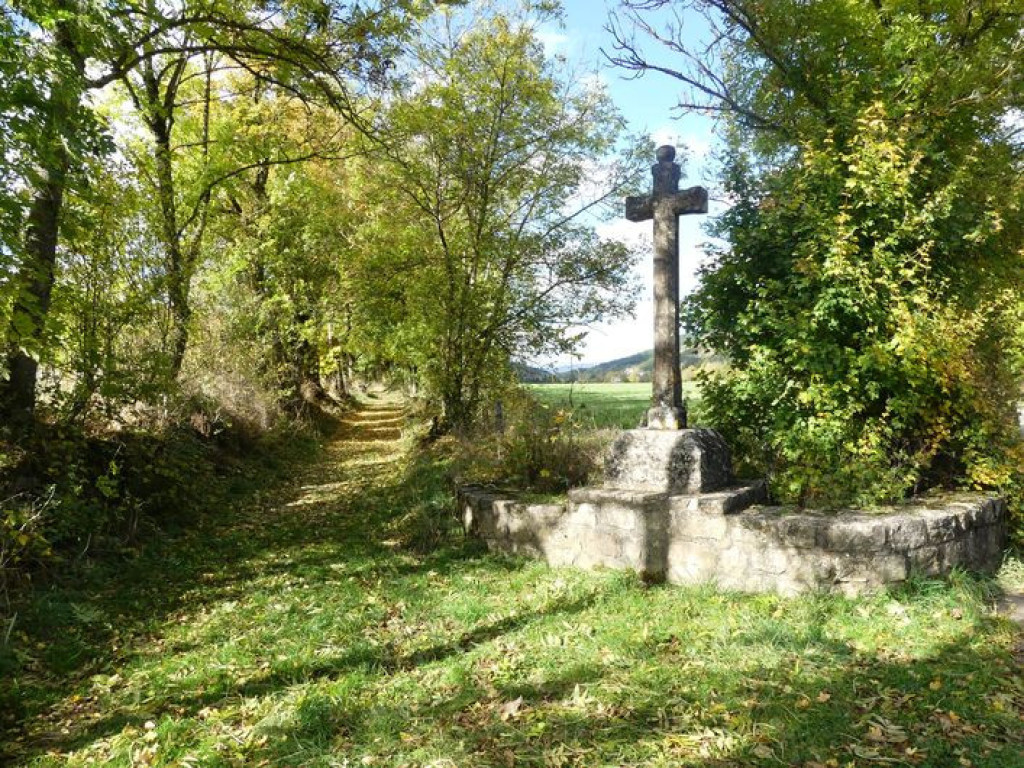
Handsome tracks through the forest, a trail section on the banks of the Lot, pretty hamlets to be crossed… Here is a circuit without major difficulty to explore the surroundings of Bagnols-les-Bains.
Sur les hauteurs de Bagnols-les-Bains

- Distance 15 km
- Elevation gain 350 m
- Elevation lost 350 m
- Min. elevation 876 m
- Max. elevation. 1203 m
- Duration (depending on pace) 1h45
- Suivre le balisage Yes

Signposts will guide you all along this route: follow the waymarks for trail #8.
Cross the village’s main road, the municipal campsite and a recent housing estate, then take a pleasant path on the bank of the Lot river. The path leads you to the pretty village of Chadenet, via Le Crouzet, on the GR®43. This flat section is ideal for making a gentle start.
At Chadenet, you embark on a track that climbs gradually for two kilometres before levelling out in the forest: perfect for lengthening your stride!
At Allenc, you start climbing again to reach Le Mourre d'Allenc, altitude 1,198 m.
Then, all that is left is to head downhill on a large track through fields and forest.
Signposts will guide you all along this route, as well as yellow painted waymarks. In the description below, the signposted place names and/or directions are given in bold italics between quotation marks:
From "Bagnols-Les-Bains », go to « Chadenets » via :
- « Avenue de la Gare »,
- « Le Crouzet » (GR®43).
- At « Chadenet » go to « Le Moure d’Allenc » via
- « Lou Claoux »,
- « Village »,
- « Lavit »,
- « Le Mas ».
- At « Le Moure d’Allenc », return to "Bagnols-les-Bains" via
- « Pessasse »,« Bagnols-les-Bains ».
This hike is taken from the guidebook Mont Lozère – Pays des sources, de la montagne du Goulet aux gorges du Bramont, published by the Pôle de pleine nature du Mont Lozère.Lozère.
Parking : thermal baths parking
Avant de vous engager sur un circuit, vérifiez qu'il est adapté à votre activité et à votre niveau. N'oubliez pas que le temps change vite en montagne. Refermez bien les clôtures et les portillons. Restez sur les chemins balisés.
Get all the routes on your smartphone with the Lozère outdoor app. You'll find all outdoor activities (summer and winter seasons) and a host of functions :
- Take advantage of detailed IGN maps
- Download data for consultation even when you're not connected to the network
- Geolocate yourself at any time on the route and altimeter profile
- Activate the off-track alarm to be alerted if you stray from the itinerary
- Share your experience (add a report, share your lap time)...


the digital trails


![]()
The Lozère Outdoor application was created
by the Lozère Department
Infos & contacts
Conseil départemental de la Lozère
sportsnature@lozere.fr
+33(0)4 66 49 66 32
Crédits photos
 Lozère Outdoor - Parcours - Le Moure d'Allenc - Trail n°8
Lozère Outdoor - Parcours - Le Moure d'Allenc - Trail n°8
Lozère Outdoor - Parcours - Le Moure d'Allenc - Trail n°8
Lozère Outdoor - Parcours - Le Moure d'Allenc - Trail n°8
Lozère Outdoor - Parcours - Le Moure d'Allenc - Trail n°8

