Route 8 blue - Mourcairol
Add to my favorites

Route opened

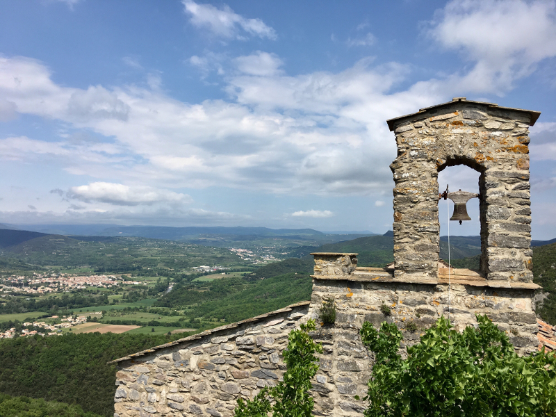
From the village of Les Aires, you will discover single trails and forest roads of the Saint Michel forest. The first section with a rising profile will take you to the chapel of Saint Michel, overlooking the ruins of the castle and the medieval village of Mourcairol (XIIth Century), from where you will enjoy a magnificent panorama of the Orb Valley and the Caroux mountain. Then you will run on technical ground to the high point before enjoying a more downhill descent to return to the starting point. A perfect route to combine discovery of local heritage and a training on varied terrain.
The characteristics of the route.

Les Aires (34)
- Distance 11.6 km
- Elevation gain 640 m
- Elevation lost 650 m
- Min. elevation 182 m
- Max. elevation. 700 m
- Duration (depending on pace) 1h30 à 3h
- Marking Trail running n°8 blue + hiking
Hoekie
finished in 01:39:46
The 2021/05/08
En savoir plus
Ajouter votre chrono et partager vos sensations
OK
Annuler


