Route 8 red - Uphill and Down Dale
Add to my favorites

Route opened
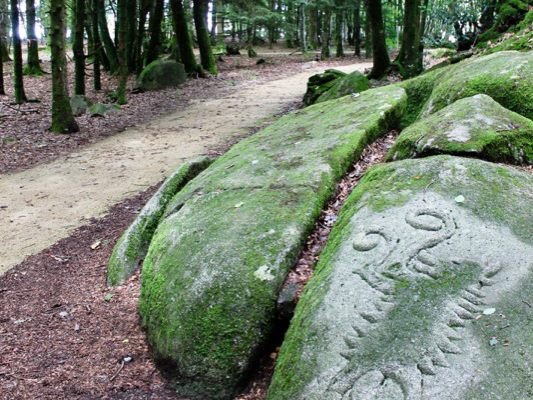
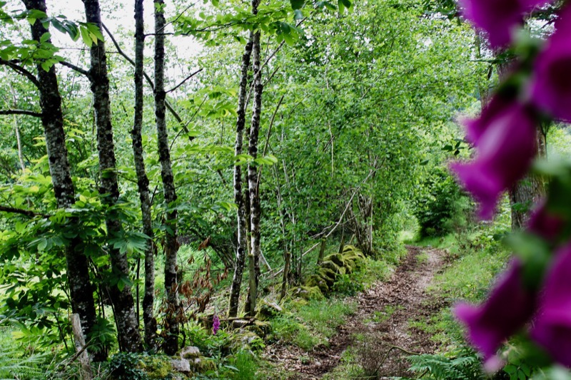
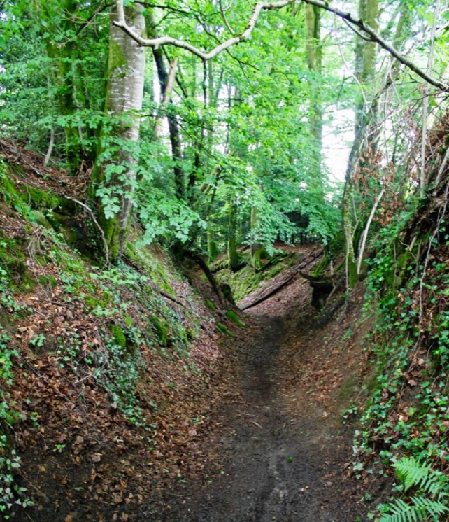
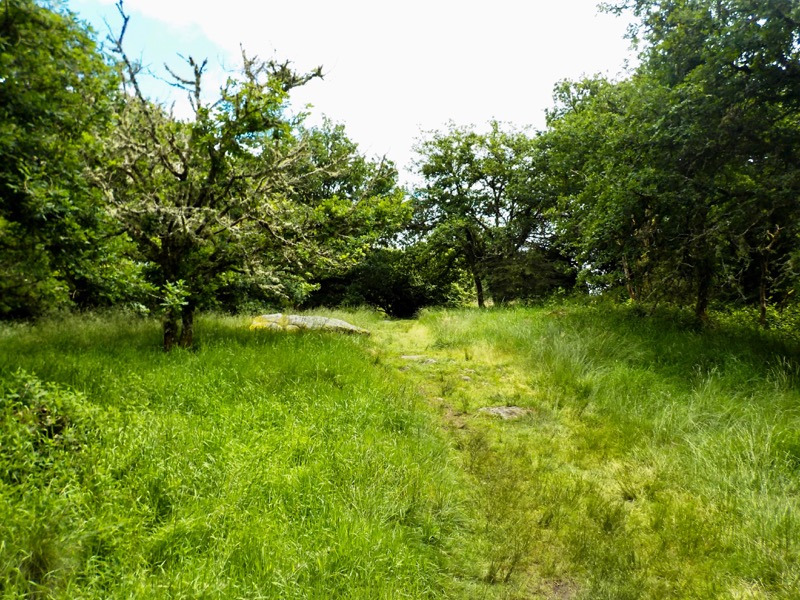
This circuit is a culmination of both circuits 6 and 7. In carrying out this circuit, you will be challenging yourself to a distance that is typically found in French trail routes. Of the 27km that make up this trail, it is only the very first few of these that are easy-going. After 3km, the circuit takes you on a roller-coaster ride, enabling you to enjoy the beech and fir tree-laden forests, as well as experiencing wider, more open spaces revealing the neighbouring Guéret countryside.
The characteristics of the route.

Sainte-Feyre (23)
- Distance 27.06 km
- Elevation gain 870 m
- Elevation lost 870 m
- Min. elevation 452 m
- Max. elevation. 661 m
- Duration (depending on pace) 3h - 6h
- Suivre le balisage yes

The latest reviews & times
djm999cl
finished in 03:52:00
The 2024/08/07
En savoir plus
freddytavard
finished in 03:18:00
The 2021/07/17
En savoir plus
Jonathan_Mrtl
finished in 02:51:00
The 2021/01/30
En savoir plus
See all reviews & times
2024/08/07 03:52:00
djm999cl
djm999cl
belle sortie avec jolis D+ D- casse pattes
2021/07/17 03:18:00
freddytavard
freddytavard
2021/01/30 02:51:00
Jonathan Mrtl
Jonathan Mrtl
2024/08/07 03:52:00
djm999cl
djm999cl
belle sortie avec jolis D+ D- casse pattes
2021/07/17 03:18:00
freddytavard
freddytavard
2021/01/30 02:51:00
Jonathan Mrtl
Jonathan Mrtl
Services nearby

Chambres d'hôtes Mme Tschirhart 4 pers.
SAINTE-FEYRE
MAISON D'HÔTES À SAINTE-FEYRE
SAINTE-FEYRE

Aire d'accueil camping-car
SAINTE-FEYRE
Chambres d'hôtes - 2 pers - SAVENNES
SAVENNES

Location de vélos électriques : Atomic Vélo
GUERET


Follow us on
the digital trails
the digital trails


![]()
Info & contacts :
Communauté d'Agglomération du Grand Guéret
Service Sports de nature
Tel : +33(0)5 55 41 04 48
contact@sportsnature-montsdegueret.com
 Station Sports Nature des Monts de Guéret - Parcours - Route 8 red - Uphill and Down Dale
Hello, world! This is a toast message.
Station Sports Nature des Monts de Guéret - Parcours - Route 8 red - Uphill and Down Dale
Hello, world! This is a toast message.
Station Sports Nature des Monts de Guéret - Parcours - Route 8 red - Uphill and Down Dale
Hello, world! This is a toast message.


OK
Annuler