Route 1 - Le Tour de Bochaires
Add to my favorites

Route opened
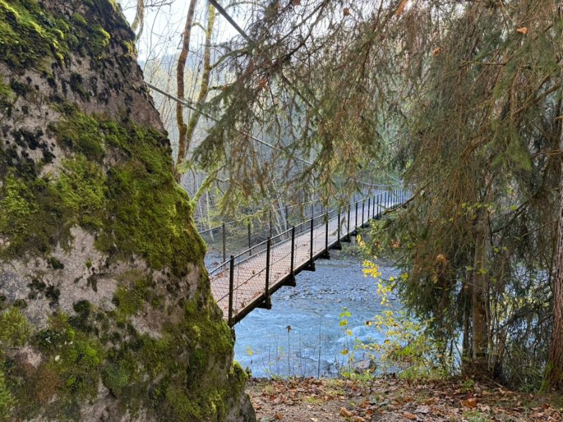
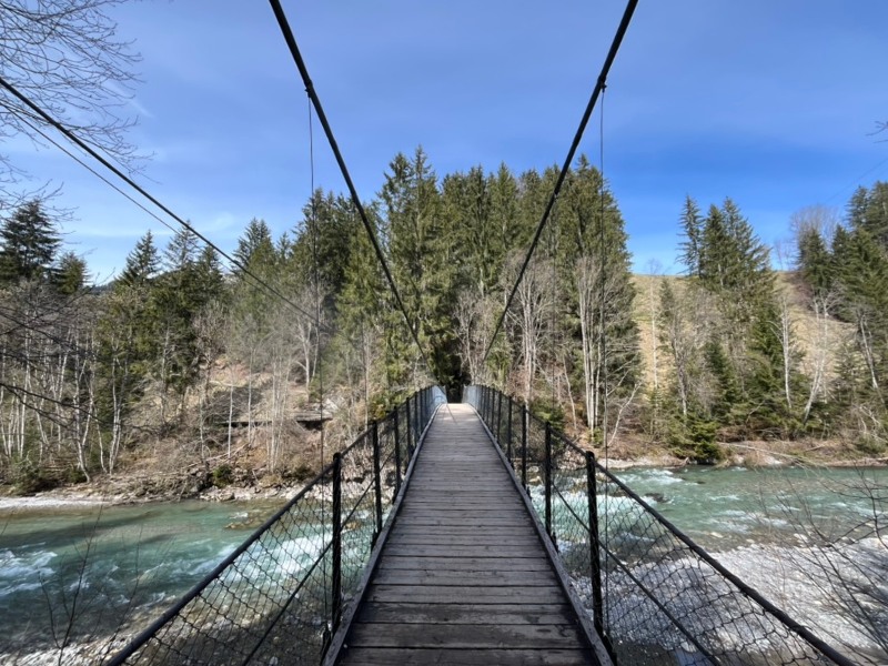
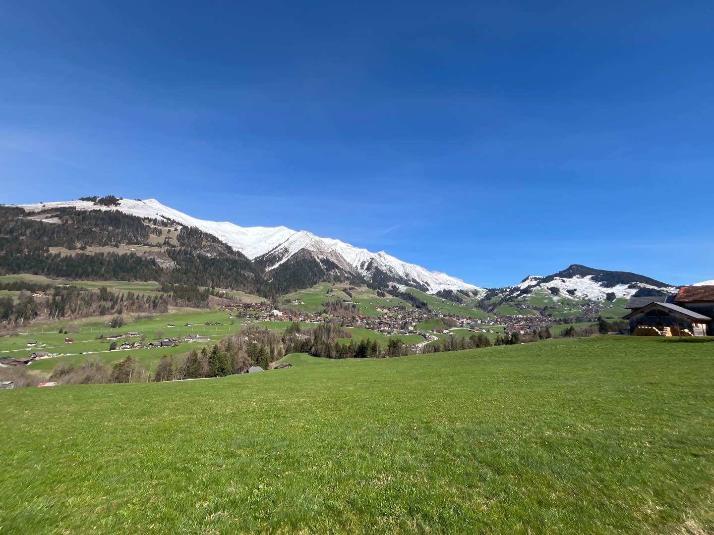
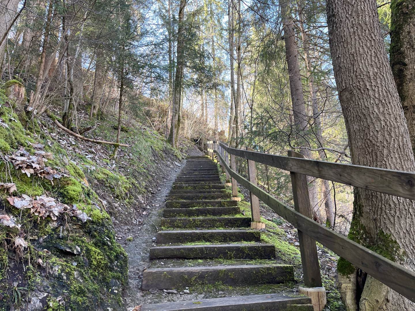
Set off from the Pays d'Enhaut Tourist Office for an easy but charming loop ! After skirting the banks of the Sarine on a very pleasant path, you'll climb gently to the hamlet of La Rosettaz. You'll then take a path along the edge of the forest, offering fine views over the valley, before a playful descent through the forest to the magnificent Pont Turrian.
The characteristics of the route.

Château-d'Oex (CH)
- Distance 5.8 km
- Elevation gain 267 m
- Elevation lost 267 m
- Min. elevation 901 m
- Max. elevation. 1072 m
- Duration (depending on pace) 0h40 à 1h20
- Marking Hiking + Trail-running
Report a problem
Pdf file route 1 Routes in your mobile phone
Find all the routes of the Espace Trail du Pays d'Enhaut free of charge on your smartphone using Trail Connect app, in ‘Outdoor Destinations’ section.
Features available :
- Geolocation at any time on the map and elevation profile
- Download data for consultation even in offline mode
- View trail opening status
- Download GPX file
- 'Go to start’ button for easy access to the start of the routes
- ...

Add your time and share your feelings


Follow us on
the digital trails
the digital trails


![]()
Pays d'Enhaut Région Économie et Tourisme
Chemin des Ballons 2,
1660 Chateau-d'Oex
(+41) 26 924 25 25
info@pays-denhaut.ch
 Pays-d'Enhaut - Parcours - Route 1 - Le Tour de Bochaires
Hello, world! This is a toast message.
Pays-d'Enhaut - Parcours - Route 1 - Le Tour de Bochaires
Hello, world! This is a toast message.
Pays-d'Enhaut - Parcours - Route 1 - Le Tour de Bochaires
Hello, world! This is a toast message.


OK
Annuler