Route 5 - Tour de la Dent de Combette
Add to my favorites

We need to check if the course is fully accessible, we’ll tell you more before May 10th!
Route closed
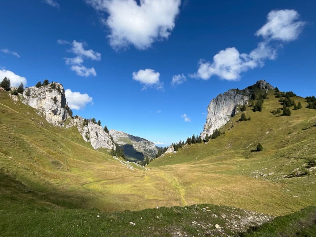
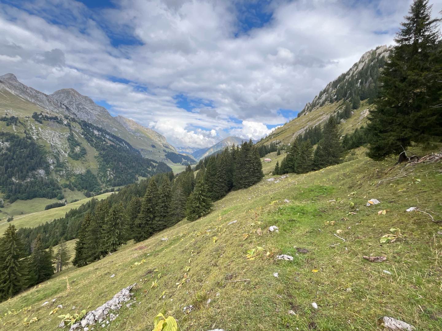
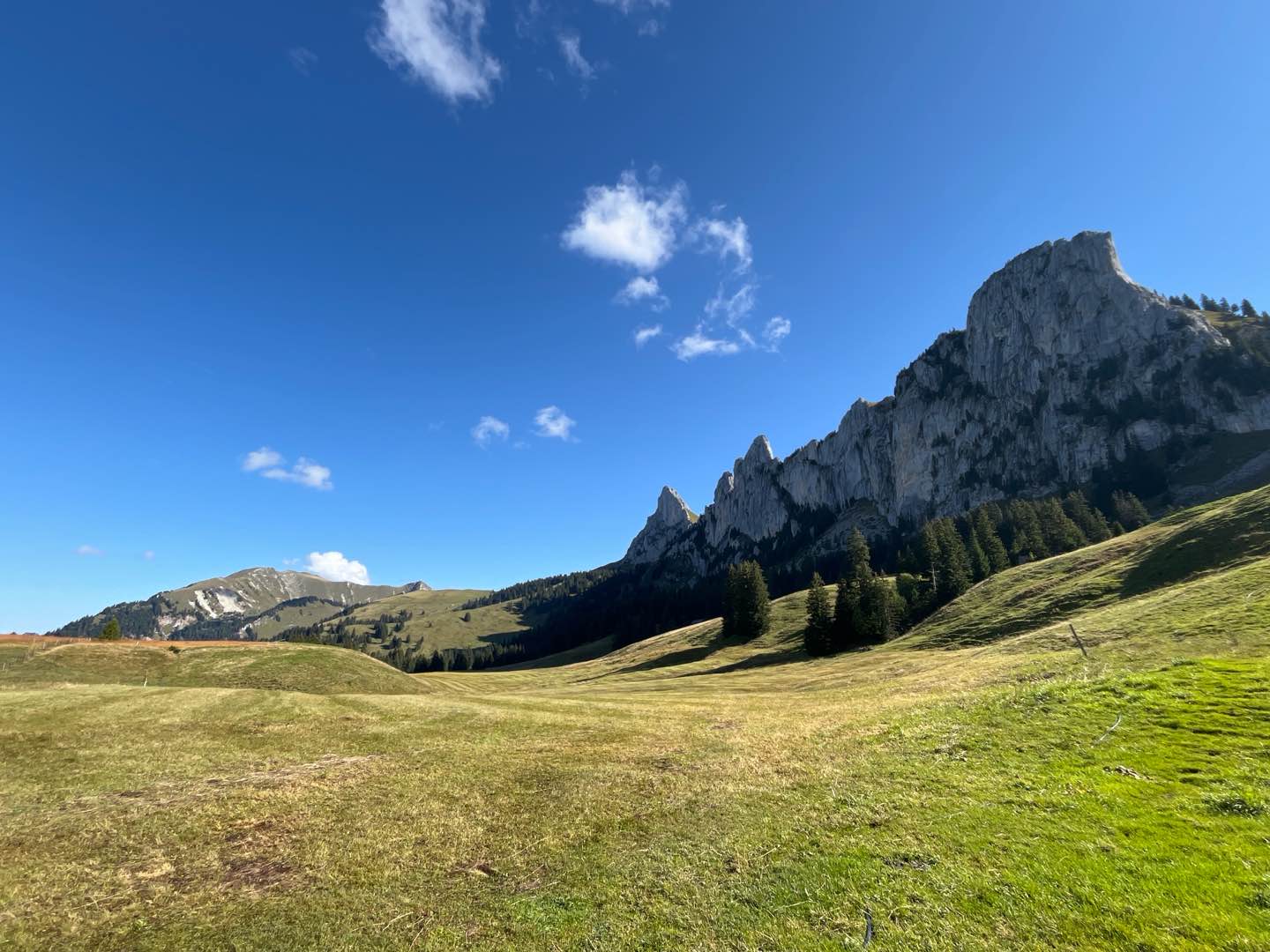
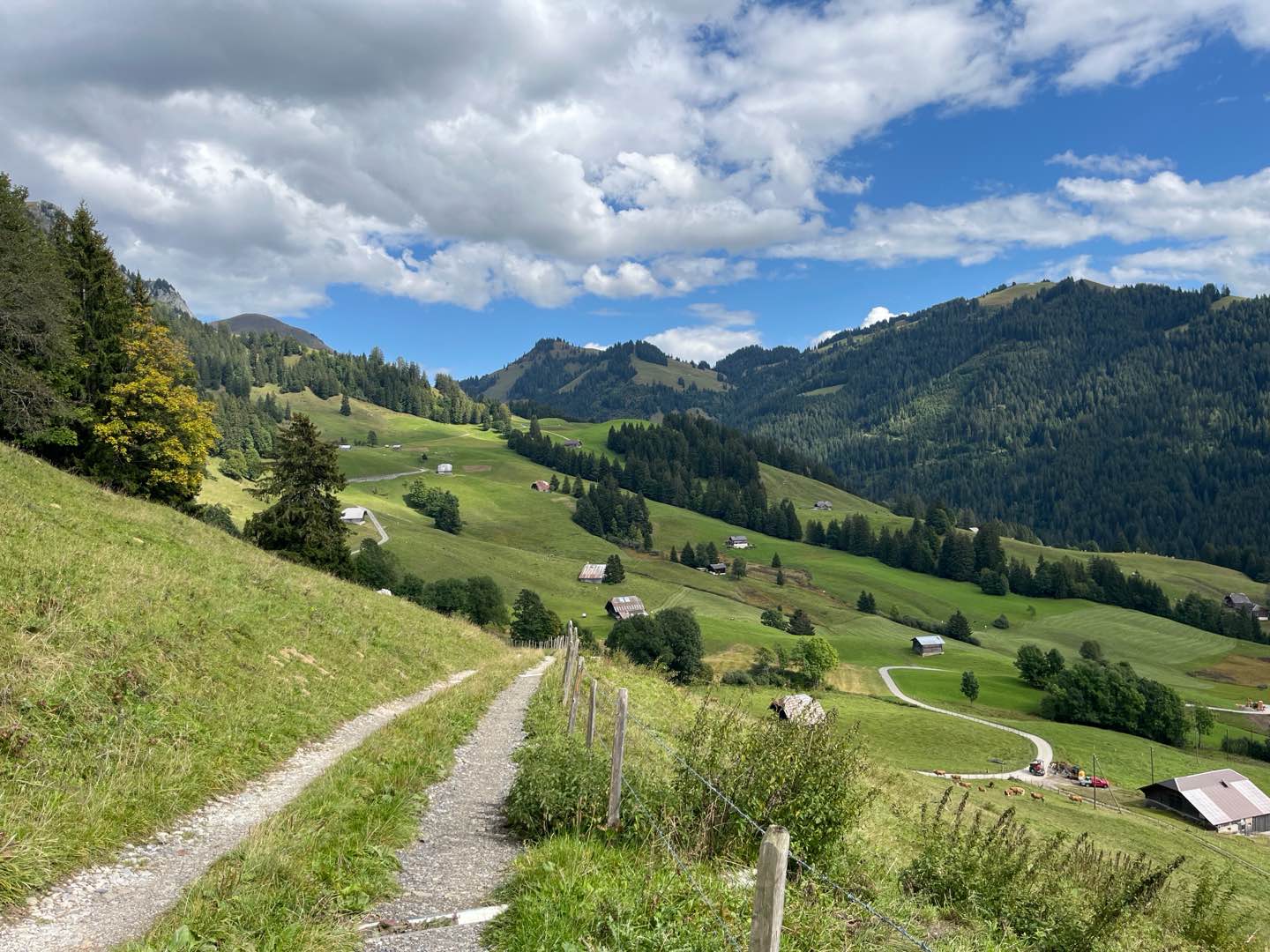
Departing from Rougemont station, this loop offers a long, fast-paced outing. With small roads linking hamlets, alpine paths and shady forest passages, the route concentrates most of the gradient in the first part. It's a varied outing that's perfect for practising changes of pace, with some superb panoramic views to boot!
The characteristics of the route.

Rougemont (CH)
- Distance 23.16 km
- Elevation gain 1438 m
- Elevation lost 1438 m
- Min. elevation 992 m
- Max. elevation. 1837 m
- Duration (depending on pace) 3h à 6h
- Marking Hiking + Trail-running
Report a problem
Pdf file route 5 Routes in your mobile phone
Find all the routes of the Espace Trail du Pays d'Enhaut free of charge on your smartphone using Trail Connect app, in ‘Outdoor Destinations’ section.
Features available :
- Geolocation at any time on the map and elevation profile
- Download data for consultation even in offline mode
- View trail opening status
- Download GPX file
- 'Go to start’ button for easy access to the start of the routes
- ...

Add your time and share your feelings


Follow us on
the digital trails
the digital trails


![]()
Pays d'Enhaut Région Économie et Tourisme
Chemin des Ballons 2,
1660 Chateau-d'Oex
(+41) 26 924 25 25
info@pays-denhaut.ch
 Pays-d'Enhaut - Parcours - Route 5 - Tour de la Dent de Combette
Hello, world! This is a toast message.
Pays-d'Enhaut - Parcours - Route 5 - Tour de la Dent de Combette
Hello, world! This is a toast message.
Pays-d'Enhaut - Parcours - Route 5 - Tour de la Dent de Combette
Hello, world! This is a toast message.


OK
Annuler