
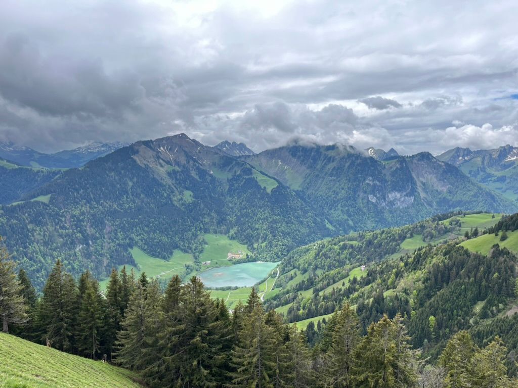
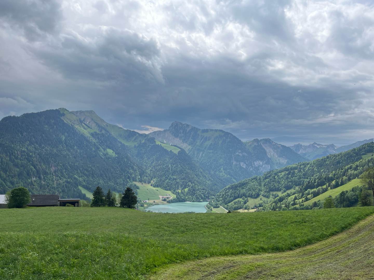
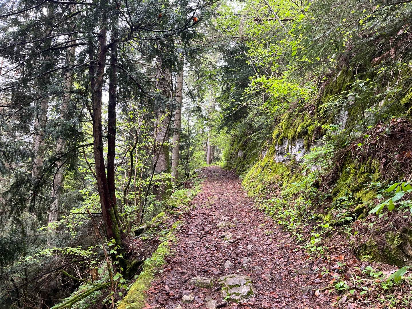
This route between Château-d'Œx and Rossinière takes you on a journey full of character through the mountain pastures overlooking the valley. After a gentle start, the route gets tougher between the 2nd and 3rd kilometres, with steep gradients that need to be managed skilfully. Once you've reached the high point, there's a superb section through the pastures, before a descent offering some fine single-track paths towards Rossinière. A short but intense route, with superb views at every stage.
Tip : park at Rossinière station and take the train to Château-d'Oex.

- Distance 8.5 km
- Elevation gain 582 m
- Elevation lost 653 m
- Min. elevation 894 m
- Max. elevation. 1539 m
- Duration (depending on pace) 1h15 à 2h30
- Marking Hiking + trail-running
Find all the routes of the Espace Trail du Pays d'Enhaut free of charge on your smartphone using Trail Connect app, in ‘Outdoor Destinations’ section.
Features available :
- Geolocation at any time on the map and elevation profile
- Download data for consultation even in offline mode
- View trail opening status
- Download GPX file
- 'Go to start’ button for easy access to the start of the routes
- ...


the digital trails


![]()
Pays d'Enhaut Région Économie et Tourisme
Chemin des Ballons 2,
1660 Chateau-d'Oex
(+41) 26 924 25 25
info@pays-denhaut.ch
 Pays-d'Enhaut - Parcours - Route 8 - Les balcons de Château d'Oex
Pays-d'Enhaut - Parcours - Route 8 - Les balcons de Château d'Oex
Pays-d'Enhaut - Parcours - Route 8 - Les balcons de Château d'Oex
Pays-d'Enhaut - Parcours - Route 8 - Les balcons de Château d'Oex
Pays-d'Enhaut - Parcours - Route 8 - Les balcons de Château d'Oex

