Mi-long sud
Add to my favorites

Route opened
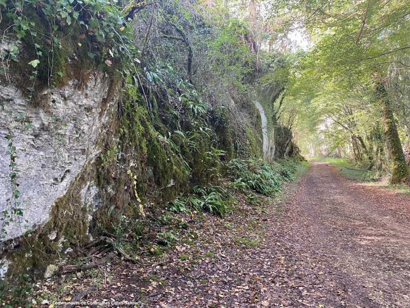
Ce parcours est une version allongée du circuit des Châtaigniers.
Après La Trapelle, bifurquez vers Marty pour ajouter du dénivelé et une descente technique qui impose de raccourcir la foulée. Un court passage roulant permet de récupérer avant d’attaquer deux kilomètres de montée vers les Garrigues. Vous retrouvez ensuite le tracé initial des Châtaigniers et vos longues foulées pour rejoindre le point de départ. Un itinéraire complet, entre rythme et variations de terrain.
The characteristics of the route.

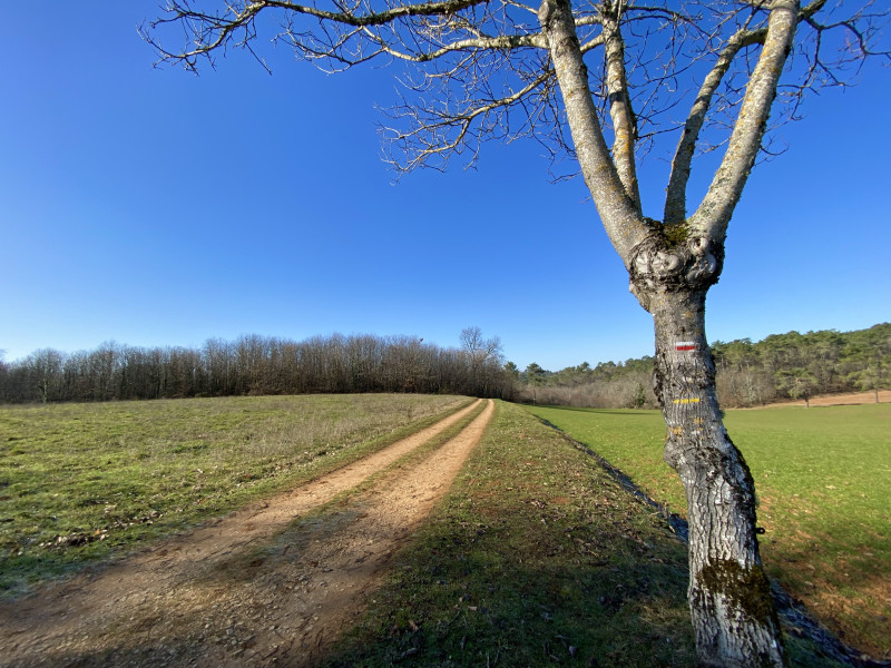
FRAYSSINET-LE-GELAT (46)
- Distance 22.42 km
- Elevation gain 510 m
- Elevation lost 510 m
- Min. elevation 178 m
- Max. elevation. 294 m
- Duration (depending on pace) 2h15 à 4h30
- Suivre le balisage TRAIL n°14 rouge

Report a problem
Fiche PDF - Trail n°14 Check this route in your mobile
Download the Quercy Outdoor mobile app
Get all the routes on your smartphone with the Quercy Outdoor app. You'll find a host of functions:
- Take advantage of detailed IGN maps
- Download data for consultation even when you're not connected to the network
- Geolocate yourself at any time on the route and altimeter profile
- Activate the off-track alarm to be alerted if you stray from the itinerary
- Find nearby services
- Share your experience (add a report, share your lap time)...

nrj1999
The 2023/10/30
En savoir plus
Ajouter votre chrono et partager vos sensations
2023/10/30 nrj1999
Une belle randonnée mais quelques balises manquantes à Combe Longue et Malbec pour rassurer quand il y a plusieurs possibilités de chemin.
2023/10/30 nrj1999
Une belle randonnée mais quelques balises manquantes à Combe Longue et Malbec pour rassurer quand il y a plusieurs possibilités de chemin.


Follow us on
the digital trails
the digital trails


![]()
Infos & contacts
Tourist Office
Pays de Gourdon, Entre Lot & Dordogne
info@tourisme-gourdon.com
+33(0)5 65 27 52 50
Photo copyright
 Quercy Outdoor - Parcours - Mi-long sud
Hello, world! This is a toast message.
Quercy Outdoor - Parcours - Mi-long sud
Hello, world! This is a toast message.
Quercy Outdoor - Parcours - Mi-long sud
Hello, world! This is a toast message.


OK
Annuler