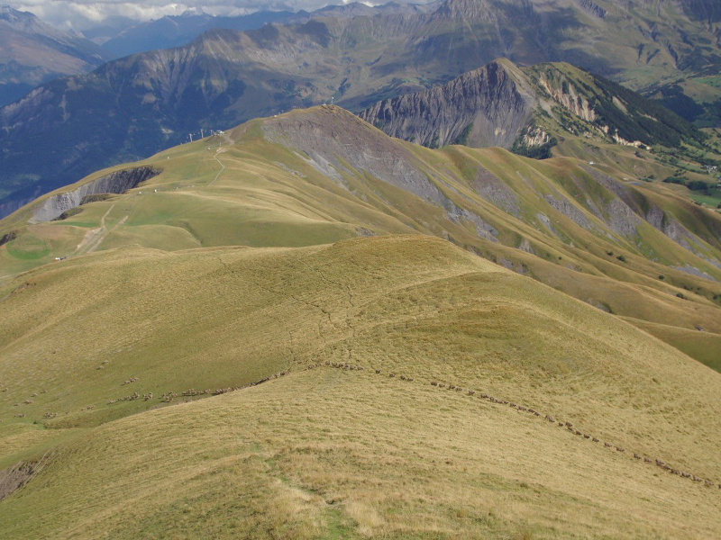
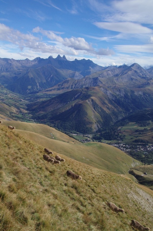
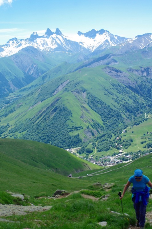
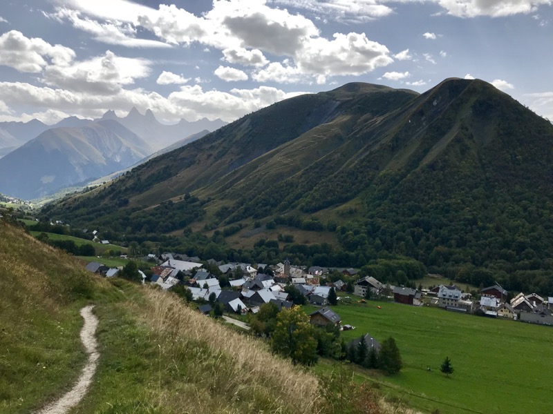
Route n°11 - Verticale de l'Ouillon
Add to my favorites

Route closed
The characteristics of the route.

Saint-Sorlin-d’Arves (73)
- Distance 5.3 km
- Elevation gain 920 m
- Elevation lost 10 m
- Min. elevation 1508 m
- Max. elevation. 2428 m
- Duration (depending on pace) 1h10 - 2h20 (montée)
- Marking Soon
Area : Saint Sorlin d’Arves - Col de la Croix de Fer
Report a problem Add a comment
Pdf map Roadbook route 11 gu_yann973
finished in 00:56:22
The 2021/08/06
En savoir plus
CAPS49
finished in 01:06:49
The 2020/08/13
En savoir plus
Ajouter votre chrono et partager vos sensations
2021/08/06 00:56:22
gu_yann973
gu_yann973
2020/08/13 01:06:49
CAPS49
CAPS49
2021/08/06 00:56:22
gu_yann973
gu_yann973
2020/08/13 01:06:49
CAPS49
CAPS49


![]()
Office de Tourisme La Toussuire
Site web
+33 (0)4 79 83 06 06
Office de Tourisme de l'Espace Glandon (Les Villards)
Site web
+33 (0)4 79 56 24 53


OK
Annuler