Circuit VTT n°25 - Du Sancerrois au Sud du Pays Fort via l'étang de Morue
Add to my favorites

Route opened

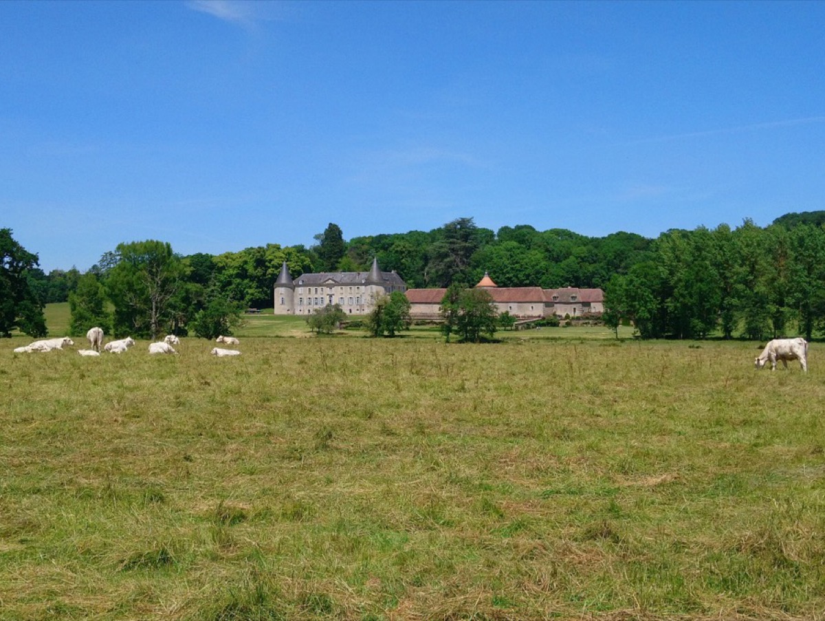
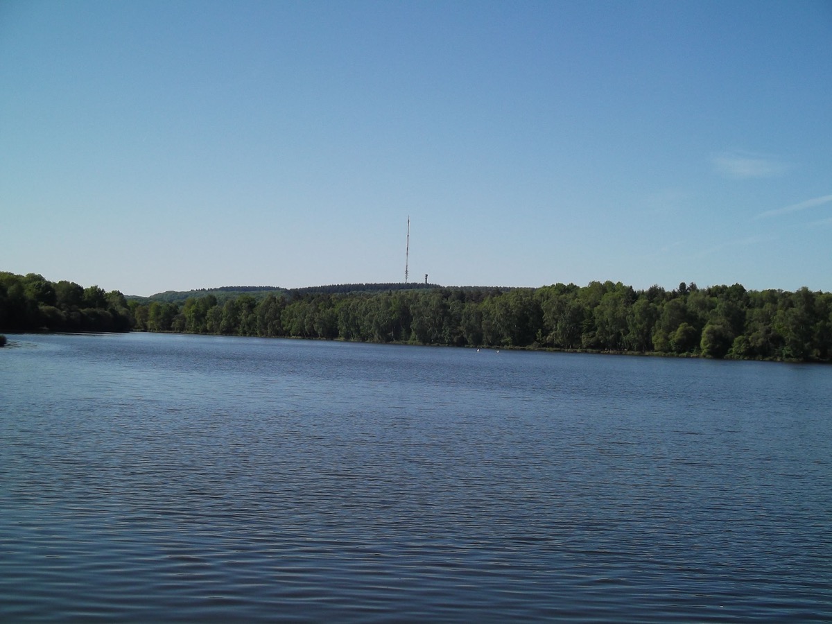
Along 61 km, this circuit will have you pedaling on all types of soil, with rocky sections as desired, grassy sections, roots, fords, everything that allows for good mountain biking. You will also be amazed: Tour de Vesvres, Forest and Château de Beaujeu, Etang de Morue, Jean Linard Cathedral, Motte d'Humbligny (highest point in the region: 434 m above sea level), Morogues and its Château de Maupas . Despite the steep drop in altitude, the alternation of uneven and smoother sections makes it a course with difficulties spread out over its length. You will cross the 2 controlled designations of origin: Menetou and Sancerre.
The characteristics of the route.

Veaugues (18)
- Distance 62 km
- Elevation gain 1110 m
- Elevation lost 1110 m
- Min. elevation 207 m
- Max. elevation. 433 m
- Duration (depending on pace) 4h30
- Marking No.25 black
Difficult circuit but very diverse with used paths and features. All kind of surfaces, good gradients, fun areas, remarkable sites, different panoramas, located between Morogues, Veaugues, Neuilly en Sancerre and Sancerre.
Area : Le Sancerrois
Report a problem
Add your time and share your feelings
Services nearby

La Côte des Monts Damnés
SANCERRE
Au P'tit Goûter
SANCERRE

La Maison d'Adèle
SANCERRE
La Pomme d'Or 1 étoile Michelin
SANCERRE
Restaurant Le Rempart
SANCERRE


Follow us on
the digital trails
the digital trails

![]()
Info & Contacts
Grand Sancerrois Tourism office
+33(0)2 48 54 08 21
 Sports Nature Grand Sancerrois - Parcours - Circuit VTT n°25 - Du Sancerrois au Sud du Pays Fort via l'étang de Morue
Hello, world! This is a toast message.
Sports Nature Grand Sancerrois - Parcours - Circuit VTT n°25 - Du Sancerrois au Sud du Pays Fort via l'étang de Morue
Hello, world! This is a toast message.
Sports Nature Grand Sancerrois - Parcours - Circuit VTT n°25 - Du Sancerrois au Sud du Pays Fort via l'étang de Morue
Hello, world! This is a toast message.


OK
Annuler