Menetou loop
Add to my favorites

Route opened
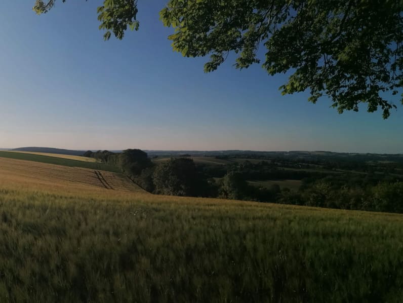
From central place of the village, do a tour and take height by climbing Montagne des Marnes.
The characteristics of the route.

Menetou-Râtel (18)
- Distance 14.7 km
- Elevation gain 260 m
- Elevation lost 260 m
- Min. elevation 260 m
- Max. elevation. 376 m
Add your time and share your feelings
Services nearby

La Côte des Monts Damnés
SANCERRE
Au P'tit Goûter
SANCERRE

La Maison d'Adèle
SANCERRE
La Fontaine Sancerroise
SAINT-SATUR
Le Taste - Bar à Vins
SANCERRE




Follow us on
the digital trails
the digital trails


Info & Contacts
Grand Sancerrois Tourism office
+33(0)2 48 54 08 21
 Sports Nature Grand Sancerrois - Parcours - Menetou loop
Hello, world! This is a toast message.
Sports Nature Grand Sancerrois - Parcours - Menetou loop
Hello, world! This is a toast message.
Sports Nature Grand Sancerrois - Parcours - Menetou loop
Hello, world! This is a toast message.


OK
Annuler