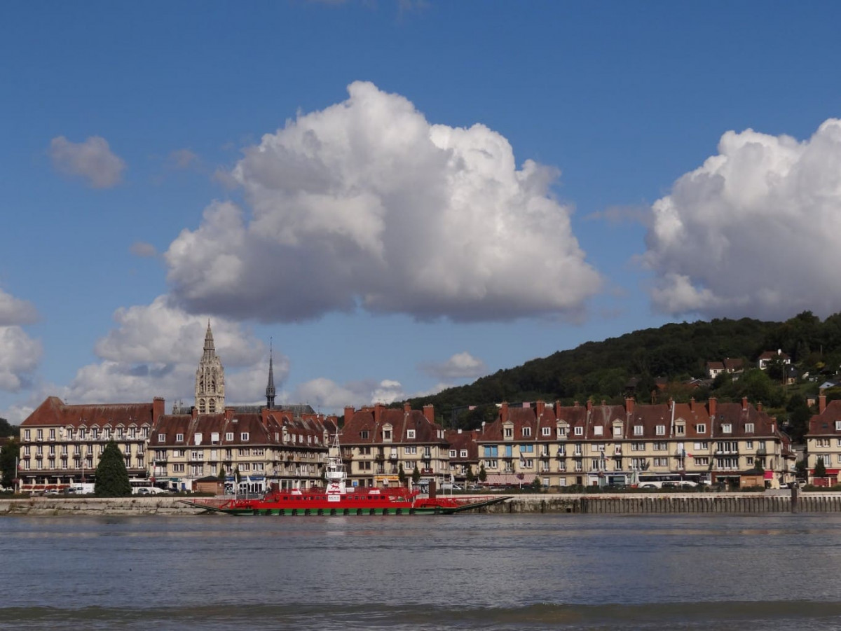
En bord de Seine
Add to my favorites

Between October and March, before leaving for the forest, remember to consult the hunting calendars on the site www.onf.fr

En Bord de Seine est une jolie boucle pour découvrir, entre fleuve et forêt, ce qui fait la spécificité du «marais» : ces terres pour partie inondées chaque hiver à l’intérieur de la boucle que dessine la Seine au pied du pont de Brotonne. Prairies pleines de chevaux, de moutons et de vaches, champs de maïs et d’orge, mares et gabions, peupleraies et saules têtards… Avec en prime de belles maisons traditionnelles et un aperçu de l’ancienne forêt royale et de sa biodiversité.
Une aire d'attache pour chevaux est installée au départ de la boucle.
The characteristics of the route.

Arelaune-en-Seine (76)
- Distance 37.8 km
- Elevation gain 210 m
- Elevation lost 210 m
- Min. elevation 2 m
- Max. elevation. 79 m
- Duration (depending on pace) 5h30
- Marking Orange
Add your time and share your feelings
Services nearby

Aurelaune-en-Seine

Le Brotonne Seine
NOTRE-DAME-DE-BLIQUETUIT

La Graineterie
ARELAUNE-EN-SEINE

Le Puits
ARELAUNE-EN-SEINE

Le Bûcher
ARELAUNE-EN-SEINE
OK
Annuler


