

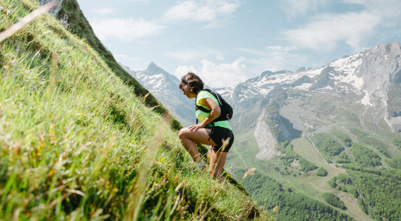
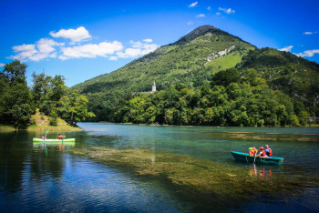
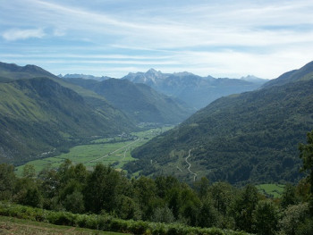
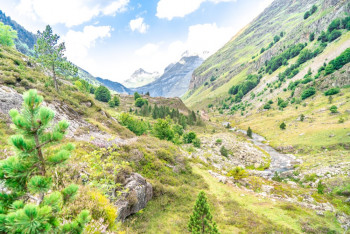
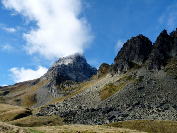
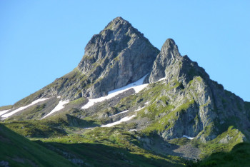
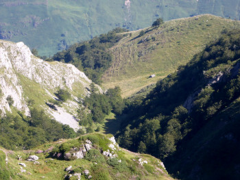
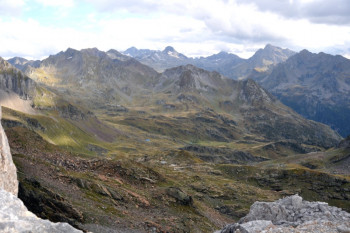
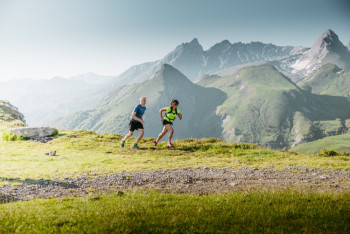
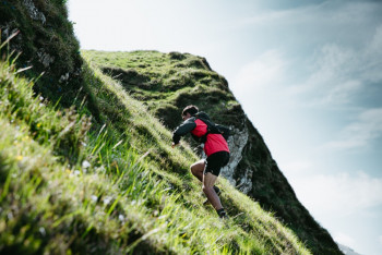
"Ossau Valley Pyrenees, a Land of Adventure" is the trail-running destination of the Pyrénées-Atlantiques. Its trails are divided into high, medium and low mountains and will introduce you to the Pyrénées National Park. 4 departure sites welcome you:
- Artouste
- Eaux-Bonnes/Gourette
- Bielle
- Arudy/Louvie-Juzon
The routes will help you to progress at your own pace, surrounded by magnificent landscapes!

2.16km 6m 6m
Bielle
Route opened

17.96km 500m 500m
Rébénacq
Route opened
16.73km 634m 1308m
Artouste
Route opened

11.16km 156m 156m
Fabrèges
Route opened
19.1km 1690m 1020m
Artouste
Route opened
36.7km 2052m 2052m
Fabrèges
Route opened
13.74km 1302m 1302m
Gourette
Route opened
13.87km 1144m 1144m
Eaux-Bonnes
Route opened
32.06km 2240m 2240m
Eaux-Bonnes
Route opened
9.7km 400m 400m
Col d'Aubisque
Route opened
7.5km 340m 340m
Bilhères
Route opened
8.96km 871m 871m
Louvie-Juzon
Route opened

The sections of the trail routes in the heart of the national park are not marked, and specific marking is being revised on all the routes. We therefore advise using the other materials available to find your way in the field :
- GPX files
- Vallée d'Ossau Pyrénées mobile application
- PDF files
Before you leave :
- Check your equipment, the difficulty of the circuit and the weather conditions
- If you are going alone, communicate your itinerary to friends and family
- Check the fire map on the website www.jaimelagriculture64.fr
In the mountains / pastoral areas :
- Follow the marked paths and close gates after passing through
- Respect nature and bring waste back
- If accompanied by a dog, make sure that it is allowed on the chosen route and keep it on a lead
- During the hunting season, avoid hunting areas or turn back
- Go around herds and do not approach farm dogs (do not feed them or pet them)
- The heart of the National Park is a natural territory and is open to all, but is subject to a code of conduct. Dogs are not allowed, even on a lead. More about the Park : www.pyrenees-parcnational.fr
- No fires, no mountain bikes, no wild camping, only bivouacs are allowed - a small tent can be set up for the night from 7 pm and taken down in the morning before 9 am. It must be set up more than 1 hour’s walk from any motorised access.
In the event of problem (lack of markings, maintenance problems, environmental problems...), do not hesitate to signal this problem by using the reporting tool available on the route page, on the website (button under the map) or in the mobile app. You will be able to geolocate the problem and also send a corresponding photo. The Espace manager will be automatically notified of your report and will be able to check and deal with the problem.

the digital trails


![]()
The Ossau Valley Tourist Office
Welcome desk of Laruns
Maison de la Vallée d’Ossau – 64 440 LARUNS
+33(0)5 59 05 31 41
Tourist Office
 Ossau valley Land of adventures - Espace Trail

