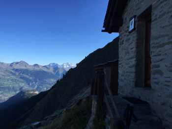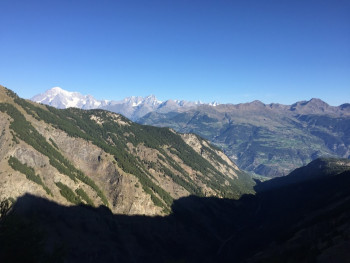


Welcome to the Espace Trail de Valsavarenche
Come and discover a wild and authentic valley, in the heart of the Gran Paradiso National Park, which is home to an exceptional fauna and flora. Chamois, ibexes and marmots will accompany you throughout your outings.
You will walk along the paths of a preserved valley with magnificent panoramas of the Gran Paradiso (4061 m) and the peaks of this alpine valley.
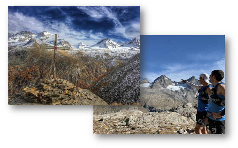
Discover trail running route
See in full screen
routes filtered
Only my favorites
Delete filters
Around me :
< 5km
< 10km
< 25km
< 50km
Inactive
Difficulties :
Easy
Medium
Difficult
Expert
Durée :
<1h
1-2h
2-3h
3-4h
>4h
Distance (km) :
<10
10-25
25-50
50-75
>75
Distance (km) :
<25
25-50
50-100
100-150
>150
Elevation gain (m) :
<500
500-1000
1000-1500
1500-2500
>2500
Elevation lost (m) :
<500
500-1000
1000-1500
1500-2500
>2500
Tags :
Areas :
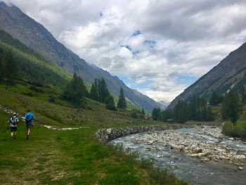
Route A - Around the villages
12.4km 620m 620m
Valsavarenche
Route opened
12.4km 620m 620m
Valsavarenche
Route opened
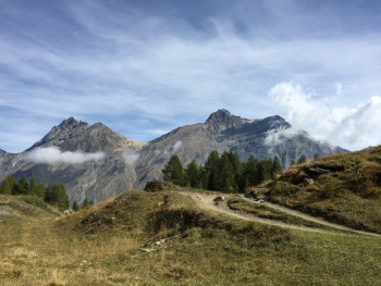
Route B - the camp
10.7km 740m 740m
Valsavarenche
Route opened
10.7km 740m 740m
Valsavarenche
Route opened
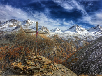
Route C - Meyes
12.8km 890m 890m
Valsavarenche
Route opened
12.8km 890m 890m
Valsavarenche
Route opened
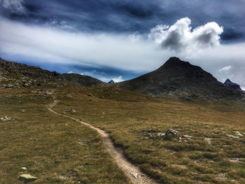
Route D - Grand Collet pass
10.5km 900m 900m
Valsavarenche
Route opened
10.5km 900m 900m
Valsavarenche
Route opened
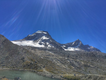
Route E - At the foot of the Grand Paradis mountain
17.9km 1270m 1260m
Inconnue
Route opened
17.9km 1270m 1260m
Inconnue
Route opened
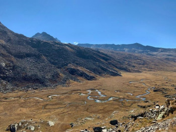
Route F - The valley of the Nivolet
20.7km 1210m 1210m
Valsavarenche
Route opened
20.7km 1210m 1210m
Valsavarenche
Route opened
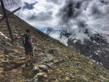
Route G - At the foot of Grivola
11.8km 1170m 1160m
Valsavarenche
Route opened
11.8km 1170m 1160m
Valsavarenche
Route opened
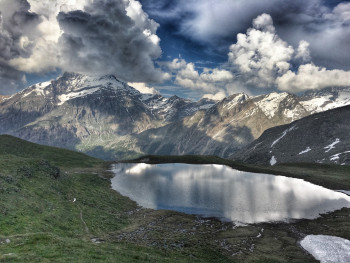
Route H - Manteau pass
22.9km 1470m 1470m
Valsavarenche
Route opened
22.9km 1470m 1470m
Valsavarenche
Route opened
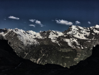
Route I - The Alta Via
18.6km 1400m 1400m
Degioz
Route opened
18.6km 1400m 1400m
Degioz
Route opened
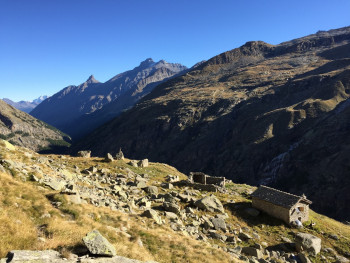
Route J - The loop of the huts
60.6km 4010m 4010m
Valsavarenche
Route opened
60.6km 4010m 4010m
Valsavarenche
Route opened
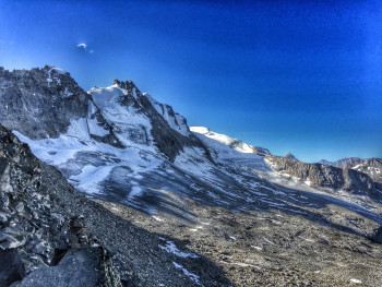
Route K - Grand Neyron path
28.5km 2340m 2340m
Degioz
Route closed
28.5km 2340m 2340m
Degioz
Route closed
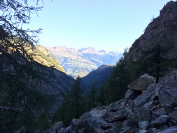
Route L - Climb of Fenille
3.2km 1060m 10m
Fenille
Route opened
3.2km 1060m 10m
Fenille
Route opened

Valsavarenche Espace Trail in your smartphone
Mobile app
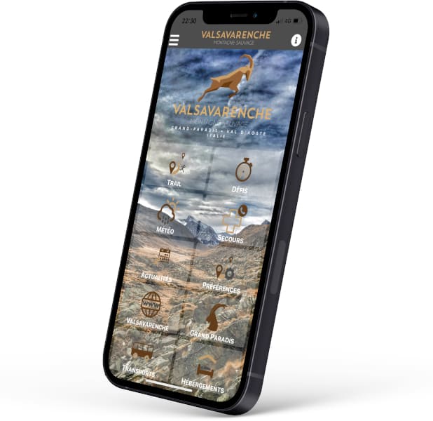
Discover the mobile app of Valsavarenche and take with you the routes to discover a wild and authentic valley, in the heart of the Gran Paradiso National Park. Chamois, ibex and marmots will accompany you throughout your outings.
Discover many features :
- Caching of maps and routes for use off the network
- Localization at any time on the map and the profile thanks to the GPS of your smartphone
- Route exit alert
- Weather forecast
- Adding achievements, reports
- ...
The most popular routes
They took up the challenge ! And you ?


