Discover trail running route
routes filtered
Only my favorites
Delete filters
Around me :
< 5km
< 10km
< 25km
< 50km
Inactive
Difficulties :
Easy
Medium
Difficult
Expert
Durée :
<1h
1-2h
2-3h
3-4h
>4h
Distance (km) :
<10
10-25
25-50
50-75
>75
Distance (km) :
<25
25-50
50-100
100-150
>150
Elevation gain (m) :
<500
500-1000
1000-1500
1500-2500
>2500
Elevation lost (m) :
<500
500-1000
1000-1500
1500-2500
>2500
Tags :
Areas :
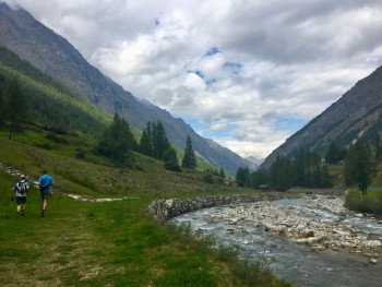
Route A - Around the villages
12.4km 620m 620m
Valsavarenche
Route opened
12.4km 620m 620m
Valsavarenche
Route opened
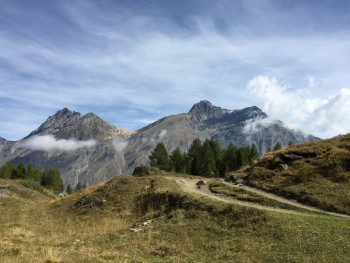
Route B - the camp
10.7km 740m 740m
Valsavarenche
Route opened
10.7km 740m 740m
Valsavarenche
Route opened
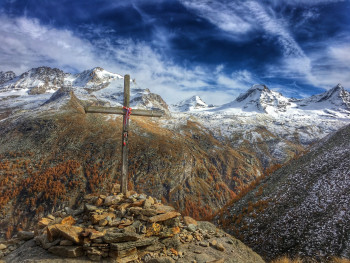
Route C - Meyes
12.8km 890m 890m
Valsavarenche
Route opened
12.8km 890m 890m
Valsavarenche
Route opened
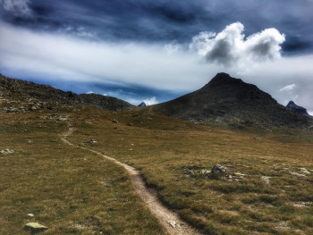
Route D - Grand Collet pass
10.5km 900m 900m
Valsavarenche
Route opened
10.5km 900m 900m
Valsavarenche
Route opened
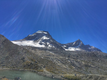
Route E - At the foot of the Grand Paradis mountain
17.9km 1270m 1260m
Inconnue
Route opened
17.9km 1270m 1260m
Inconnue
Route opened
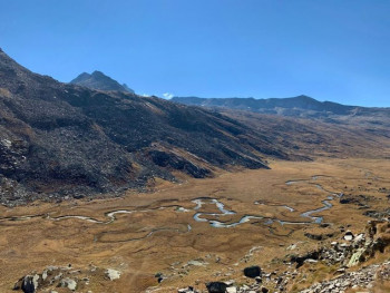
Route F - The valley of the Nivolet
20.7km 1210m 1210m
Valsavarenche
Route opened
20.7km 1210m 1210m
Valsavarenche
Route opened
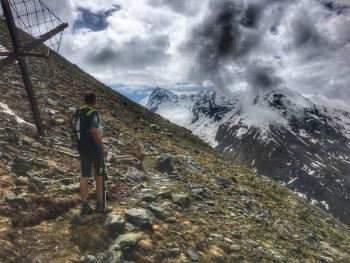
Route G - At the foot of Grivola
11.8km 1170m 1160m
Valsavarenche
Route opened
11.8km 1170m 1160m
Valsavarenche
Route opened
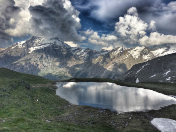
Route H - Manteau pass
22.9km 1470m 1470m
Valsavarenche
Route opened
22.9km 1470m 1470m
Valsavarenche
Route opened
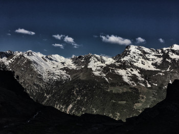
Route I - The Alta Via
18.6km 1400m 1400m
Degioz
Route opened
18.6km 1400m 1400m
Degioz
Route opened
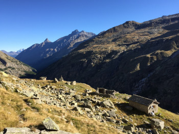
Route J - The loop of the huts
60.6km 4010m 4010m
Valsavarenche
Route opened
60.6km 4010m 4010m
Valsavarenche
Route opened
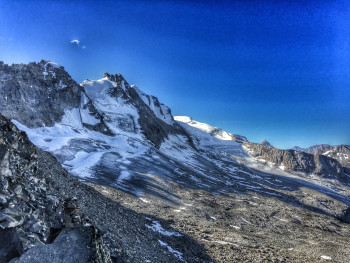
Route K - Grand Neyron path
28.5km 2340m 2340m
Degioz
Route closed
28.5km 2340m 2340m
Degioz
Route closed
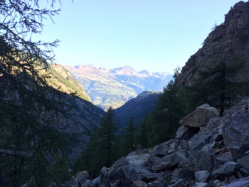
Route L - Climb of Fenille
3.2km 1060m 10m
Fenille
Route opened
3.2km 1060m 10m
Fenille
Route opened
International
France


