Route 13 - Trail tour du Lac d'Aiguebelette
Add to my favorites

The route is being signposted. Opening in a few days...
Route opened
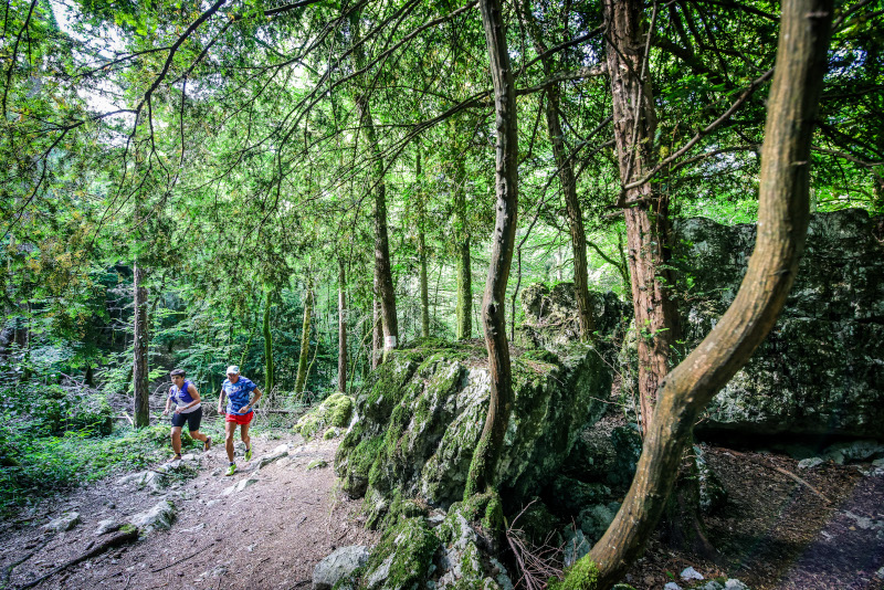
Take a tour of Lake Aiguebelette in 2 days with this itinerary starting from Lépin-le-Lac station, a difficult itinerary due to its distance, which will be perfect for a 2-day training block and to discover all the facets of Lake Aiguebelette !
- Stage 1 (25km/1430m+) : Lépin-le-Lac >> Aiguebelette
This first stage will take you to the village of Aiguebelette through the villages of La Bridoire and Attignat-Oncin, and Mont Grêle summit, overlooking the lake.
- Stage 2 (36km/1500m+) :
Aiguebelette >> Lépin-le-Lac
During this second stage, you will cross the Lac d'Aiguebelette natural reserve to reach the Croix du Signal summit, before descending to Novalaise and then climbing up the Banchet ridges.
The characteristics of the route.

Lépin-le-Lac (73)
- Distance 61.1 km
- Elevation gain 2940 m
- Elevation lost 2940 m
- Min. elevation 263 m
- Max. elevation. 1454 m
- Duration (depending on pace) 2 jours
- Marking Trail-running n°13 black + hiking markers
Add your time and share your feelings
Services nearby

Vivre à vélo
Lépin-le-Lac
Fishing: permits, hire of small craft
Lépin-le-Lac
Plage du Sougey : locations nautiques
Saint-Alban-de-Montbel
Locations multi-embarcations (Le hameau des pêcheurs)
Novalaise
Boat rental at Aiguebelette-le-Lac Leisure base
Aiguebelette-le-Lac


 Espace outdoor du Lac d’Aiguebelette - Parcours - Route 13 - Trail tour du Lac d'Aiguebelette
Hello, world! This is a toast message.
Espace outdoor du Lac d’Aiguebelette - Parcours - Route 13 - Trail tour du Lac d'Aiguebelette
Hello, world! This is a toast message.
Espace outdoor du Lac d’Aiguebelette - Parcours - Route 13 - Trail tour du Lac d'Aiguebelette
Hello, world! This is a toast message.


OK
Annuler