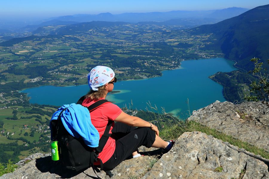
Mont Grêle and Saint-Michel pass
Add to my favorites


Physically challenging walk starting out from Attignat-Onicn, Lépin or Aiguebelette, with a change in altitude of 800 m and a clear view of the lake and its surrounding area (5 ½ to 6 ½ hrs, depending on the route).
The characteristics of the route.

Lépin-le-Lac (73)
- Distance 18.1 km
- Elevation gain 1120 m
- Elevation lost 1120 m
- Min. elevation 404 m
- Max. elevation. 1426 m
- Duration (depending on pace) 6h30
- Marking Yes
Add your time and share your feelings
Services nearby

Fishing: permits, hire of small craft
Lépin-le-Lac

Locations multi-embarcations (Le hameau des pêcheurs)
Novalaise

Nautical equipment rental, La Crique
Nances

Water craft hire (Vertes Sensations)
Nances

Rental of mountain bikes
Nances
Contact 04 79 36 00 02 info-lac@pays-lac-aiguebelette.com
Information updated on 2023-07-21 by Office de Tourisme Pays du Lac d'Aiguebelette

OK
Annuler


