The Lake Aiguebelette Balcony Route
Add to my favorites

Route opened
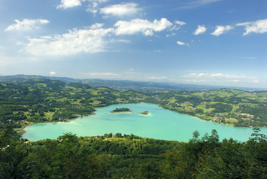
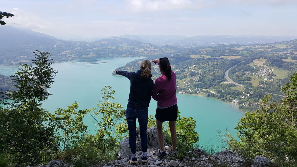
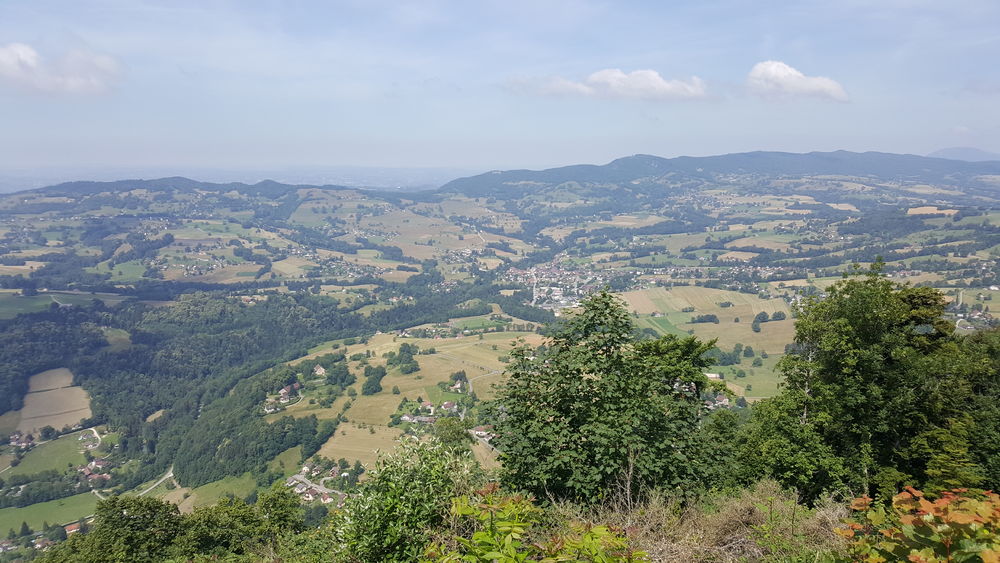
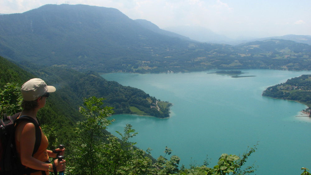
This airy route across the western flank of the Montagne de l'Epine overlooks France’s third largest natural lake, providing numerous vantage points from which to admire the 70 hectares of wetlands surrounding the lake.
The characteristics of the route.
Nances (73)
- Distance 11.7 km
- Elevation gain 460 m
- Elevation lost 460 m
- Min. elevation 373 m
- Max. elevation. 809 m
- Duration (depending on pace) 5h
- Marking Yes
Lake Aiguebelette’s calm and pure waters are much appreciated by bathers, fishermen and rowers.From the cemetery, the path goes up through the woods to the Grotte de Conche (cave and spring). Above the “grotte”, the path becomes steep, narrow and difficult, as it follows the edge of a cliff to join the “Balcons du lac” trail (1hr). This relatively flat track was built to serve the area’s charcoal-burning kilns. The path then goes back down to Les Logers, and then to Les Gustins. Follow the road for 400 m, then turn right onto the track that joins the minor road beside the lake, which is followed to its northernmost tip. Go under the A43 to get back to Nances via the Grotte de Loup. Type of itinerary: circuit. Maps : IGN Top 25 n° 3332 OT Chambéry .Opening : From 15/04 to 31/10.
Report a problem Add a comment
Website Pdf file
Add your time and share your feelings
Services nearby

Boat hire: Le Farou
Nances
Rental of mountain bikes
Nances
Via ferrata equipment rental
Nances
Pleasure boat rental (Vertes Sensations)
Nances
Electrically-powered mountain biking around Lac d'Aiguebelette
Nances


Information updated on 2023-07-12 by Agence alpine des territoires


OK
Annuler