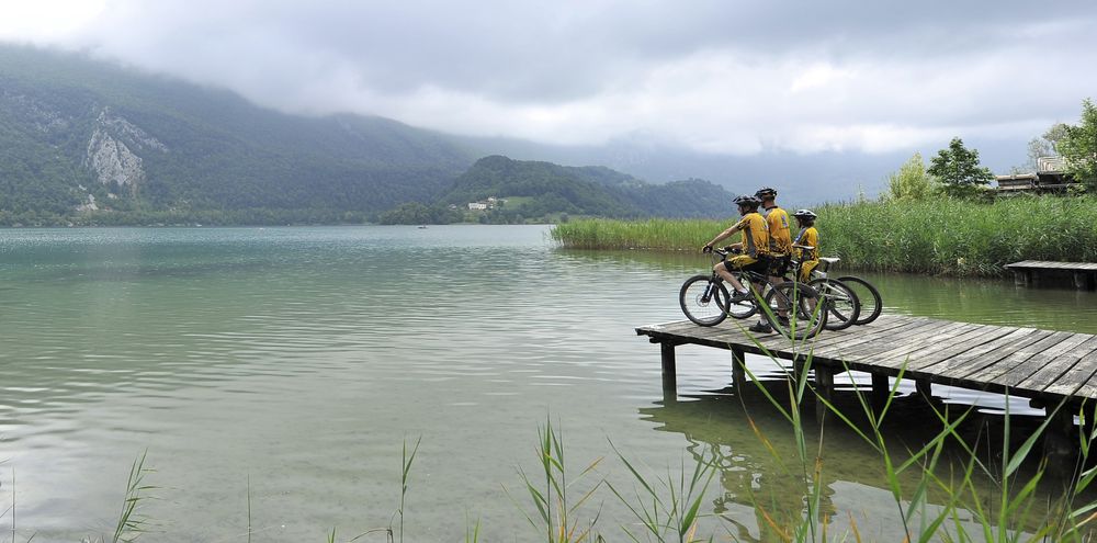
Mountain biking route 8 – On the route of La Chartreuse
Add to my favorites

Very difficult level. There are several difficult passage on the uphill route, so a good level of fitness is required.
The characteristics of the route.
Nances (73)
- Distance 49.98 km
- Elevation gain 1450 m
- Elevation lost 1450 m
- Min. elevation 263 m
- Max. elevation. 964 m
- Marking Yes
After the ascent of Col de la Crusille via Nances and Novalaise, you will cross the Banchet mountains from the forest before a not so technical descent towards la Bridoire. The circuit then goes in Chartreuse with the GR9 (Gruat ascent) and on the foothills of Mont Grêle on the road leading to la Pissoire.
A long and hard slope that is followed by a softer forest route. Final descent on Aiguebelette-le-Lac before going back to Lépin-le-Lac and the west side of the lake.Opening : All year round daily.
A long and hard slope that is followed by a softer forest route. Final descent on Aiguebelette-le-Lac before going back to Lépin-le-Lac and the west side of the lake.Opening : All year round daily.
Report a problem
Website
Add your time and share your feelings
Services nearby

Nautical equipment rental at La Crique
Nances
Water craft hire (Vertes Sensations)
Nances
Rental of mountain bikes
Nances
Via ferrata equipment rental
Nances
Pleasure boat rental (Vertes Sensations)
Nances


Information updated on 2025-06-16 by Office de Tourisme Lac d'Aiguebelette


 Espace outdoor du Lac d’Aiguebelette - Parcours - Mountain biking route 8 – On the route of La Chartreuse
Hello, world! This is a toast message.
Espace outdoor du Lac d’Aiguebelette - Parcours - Mountain biking route 8 – On the route of La Chartreuse
Hello, world! This is a toast message.
Espace outdoor du Lac d’Aiguebelette - Parcours - Mountain biking route 8 – On the route of La Chartreuse
Hello, world! This is a toast message.


OK
Annuler