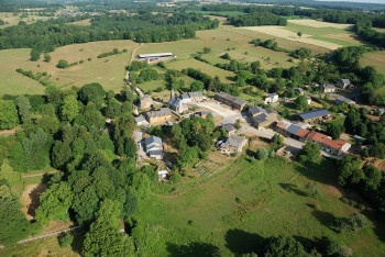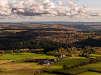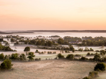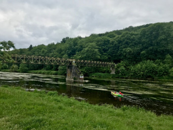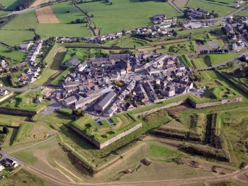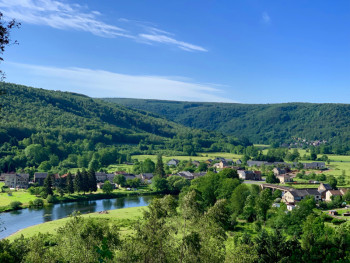


Welcome to Ardenne Sports Nature
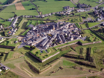
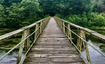
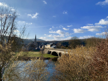
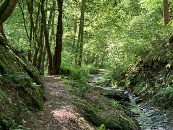
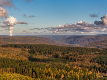
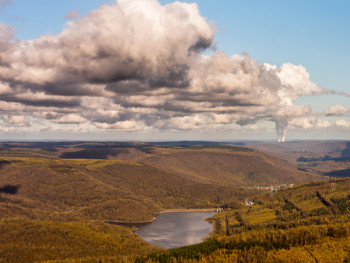
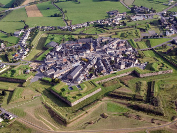
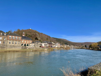
From the city of Rocroy to the Semoy valley, discover the Valleys and Plateau d'Ardenne territory where you will find some of the most beautiful jewels of the Ardennes.
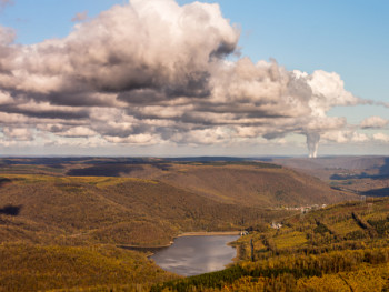
The Ardenne Espace Trail will take you to discover this territory full of history and legends, with its exceptional fauna and flora, ideal for nature lovers!
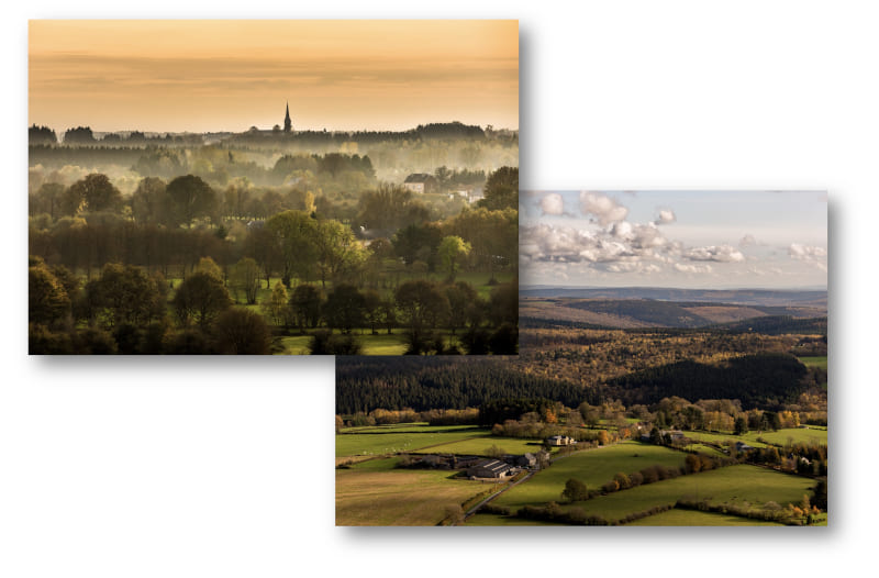
Discover outdoor activities
See in full screen
routes filtered
Only my favorites
Delete filters
Around me :
< 5km
< 10km
< 25km
< 50km
Inactive
Difficulties :
Easy
Medium
Difficult
Expert
Durée :
<1h
1-2h
2-3h
3-4h
>4h
Distance (km) :
<10
10-25
25-50
50-75
>75
Distance (km) :
<25
25-50
50-100
100-150
>150
Elevation gain (m) :
<500
500-1000
1000-1500
1500-2500
>2500
Elevation lost (m) :
<500
500-1000
1000-1500
1500-2500
>2500
Tags :
Areas :
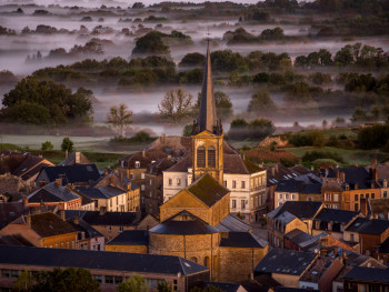
Route n°1 green - The Sugar Pine Wood
9.5km 140m 150m
Rocroi
9.5km 140m 150m
Rocroi
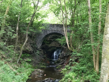
Route n°2 blue - Vincent Marsh
14.4km 350m 350m
Rocroi
14.4km 350m 350m
Rocroi
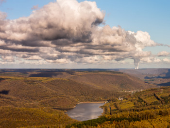
Route n°3 red - Huet wood
31.8km 970m 970m
Rocroi
31.8km 970m 970m
Rocroi
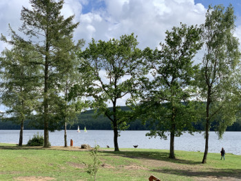
Route n°4 green - From the Old Forges to the Mazures
8.4km 210m 200m
Les Mazures
8.4km 210m 200m
Les Mazures
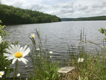
Route n°5 blue - Tour of the Old Forges lake
11.3km 70m 70m
Les Mazures
11.3km 70m 70m
Les Mazures
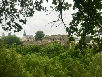
Route n°6 red - Sécheval - Montcornet
24km 470m 470m
Les Mazures
24km 470m 470m
Les Mazures
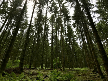
Route n°7 blue - Linchamps castel
13.1km 530m 530m
Les Hautes-Rivières
Route opened
13.1km 530m 530m
Les Hautes-Rivières
Route opened
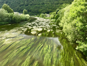
Route n°8 red - Saut Thibaut
25.1km 1110m 1110m
Les Hautes-Rivières
Route closed
25.1km 1110m 1110m
Les Hautes-Rivières
Route closed
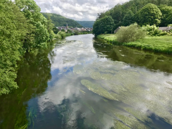
Route n°9 red - The Liry
27.7km 1100m 1100m
Les Hautes-Rivières
Route opened
27.7km 1100m 1100m
Les Hautes-Rivières
Route opened
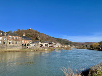
Route n°10 green - Les Perrières
9.8km 250m 250m
Bogny-sur-Meuse
9.8km 250m 250m
Bogny-sur-Meuse
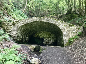
Route n°11 blue - Ruha Fountain
14.5km 800m 800m
Bogny-sur-Meuse
Route opened
14.5km 800m 800m
Bogny-sur-Meuse
Route opened
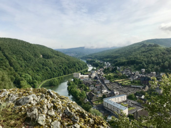
Route n°12 red - The paths of legends
23.93km 1170m 1170m
Bogny-sur-Meuse
Route opened
23.93km 1170m 1170m
Bogny-sur-Meuse
Route opened
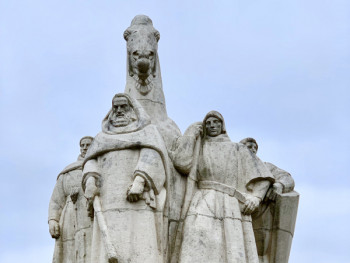
Route 13 - The four Aymon sons loop
4.82km 258m 258m
Bogny-sur-Meuse
4.82km 258m 258m
Bogny-sur-Meuse
The most popular routes

Ardenne Sports Nature in your smartphone
Mobile application
With this application, you will be able to find on your smartphone the trail itineraries and all the outdoor activities available in the Community of Communes of the Valleys and Plateau of Ardenne. Discover many features:
- Caching of maps and routes for use off the network
- Localization at any time on the map and the profile thanks to the GPS of your smartphone
- Route exit alert
- Weather on the territory
- Addition of achievements, reports
- Emergency module
- Access to hunting information
- Participation to Chrono Challenges
- ...

They took up the challenge ! And you ?
Julien41
finished in 00:55:43
Parcours 13 - Circuit des Quatre Fils Aymon
The 2021/08/09
Julien41
finished in 02:27:26
Parcours n°7 bleu - Le Château de Linchamps
The 2021/08/06
nbelnico
finished in 03:02:00
Parcours n°12 rouge - Les sentiers des légendes
The 2021/05/13


