Log in
E-mail or username
Password
Login
Do you have
a Facebook or Apple account?
Don't have an account ?
Register
Forgot your password ?
Activities
Espace Trail
The territory
Mobile app
Useful infos
Discover
outdoor activities
Trail running
Hiking
MTB
Bike
Flying
Climbing
Nautical activities
Voir la carte
Trail running
Challenge
routes
filtered
site(s)
filtered
Filters
Only my favorites
Delete filters
Around me :
< 5km
< 10km
< 25km
< 50km
Inactive
Difficulties :
Easy
Medium
Difficult
Expert
Durée :
<1h
1-2h
2-3h
3-4h
>4h
Distance (km) :
<10
10-25
25-50
50-75
>75
Distance (km) :
<25
25-50
50-100
100-150
>150
Elevation gain (m) :
<500
500-1000
1000-1500
1500-2500
>2500
Elevation lost (m) :
<500
500-1000
1000-1500
1500-2500
>2500
Tags :
Navigation
Swimming
Adventure park
Climbing
Areas :
Lac des Vieilles Forges
Les Hautes-Rivières
Monthermé
Renwez
Rimogne
Rocroi
Tournavaux
Monthermé
Rocroi
Bogny-sur-Meuse
Lac des Vieilles Forges
Les Hautes-Rivières
Rocroi
Lac des Vieilles Forges
Monthermé
Bogny-sur-Meuse
Lac des Vieilles Forges
Les Hautes-Rivières
Rocroi
Lac des Vieilles Forges
Monthermé
Tournavaux
Haulmé
Les Hautes-Rivières
Laifour
Monthermé
Cap Ardennes Events
Les Mazures
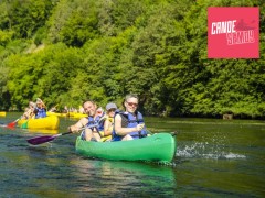
Navigation
Canoë Semoy
Les Hautes-Rivières
Navigation
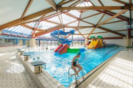
Aquatic Center Valleys and Plateau d'Ardenne
Rocroi
Swimming
The Vieilles Forges beach
Les Mazures
Swimming
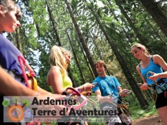
Ardennes Terre d'Aventure
Les Mazures
Adventure park
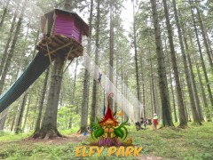
Elfy Park
Les Mazures
Adventure park
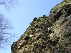
Climbing site of the Roc La Tour
Monthermé
Climbing
Climbing site of the Corpias rock
Haulmé
Climbing
The Loop of Seven Rocks
10.7km
410m
410m
Monthermé
Discovering Rocroi's heritage
1.6km
20m
20m
Rocroi
Health route - sporting route
2km
20m
20m
Rocroi
Health route - Family route
1.3km
10m
10m
Rocroi
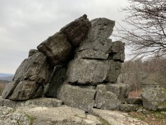
The Emperor's Rocks
4.3km
170m
170m
Revin
Beautiful views in val de Sormonne
6.7km
150m
150m
Murtin-et-Bogny
Two loop in Rimogne
9.3km
150m
150m
Rimogne
The Fraudsters' Favourite Paths
16.1km
210m
220m
Rocroi
In the footsteps of Jules Michelet
8.6km
150m
150m
Renwez
When the battle raged...
10.4km
100m
100m
Sévigny-la-Forêt
Linchamps Castle
12.7km
520m
520m
Les Hautes-Rivières
Route closed
Voie Vive VPA
43.1km
560m
800m
Rocroi
The Tournavaux Plain
3.3km
50m
50m
Tournavaux
Route 8 - Les Rapides de Phades
11.9km
80m
80m
Monthermé
Route 10 - La Lyre
30.9km
620m
610m
Monthermé
Route 9 - La Semoy
18.7km
210m
210m
Monthermé
Route 11 - La Croix-Scaille
44.5km
800m
800m
Monthermé
Route 14 - Les Marquisades
12.6km
310m
310m
Revin
Route 15 - La Faux
6.9km
70m
70m
Revin
Voie Vive VPA
45.8km
650m
900m
Rocroi
Trans-Semoysienne
18.8km
240m
220m
Monthermé
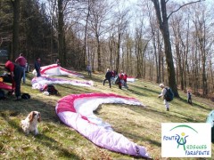
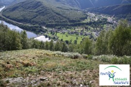
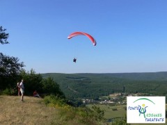
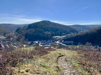
Monthermé take-off area
Monthermé
Nohan sur Semoy take-off area
Thilay
Laifour take-off area
Laifour
Haulmé take-off area
Haulmé
Route n°1 green - The Sugar Pine Wood
9.5km
140m
150m
Rocroi
Route n°2 blue - Vincent Marsh
14.4km
350m
350m
Rocroi
Route n°3 red - Huet wood
31.8km
970m
970m
Rocroi
Route n°4 green - From the Old Forges to the Mazures
8.4km
210m
200m
Les Mazures
Route n°5 blue - Tour of the Old Forges lake
11.3km
70m
70m
Les Mazures
Route n°6 red - Sécheval - Montcornet
24km
470m
470m
Les Mazures
Route n°7 blue - Linchamps castel
13.1km
530m
530m
Les Hautes-Rivières
Route opened
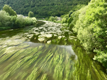
Route n°8 red - Saut Thibaut
25.1km
1110m
1110m
Les Hautes-Rivières
Route closed
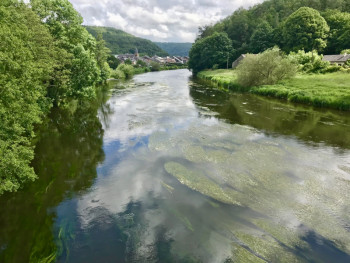
Route n°9 red - The Liry
27.7km
1100m
1100m
Les Hautes-Rivières
Route opened
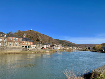
Route n°10 green - Les Perrières
9.8km
250m
250m
Bogny-sur-Meuse
Route n°11 blue - Ruha Fountain
14.5km
800m
800m
Bogny-sur-Meuse
Route opened
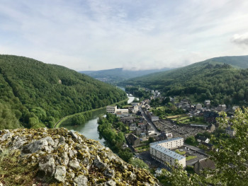
Route n°12 red - The paths of legends
23.93km
1170m
1170m
Bogny-sur-Meuse
Route opened
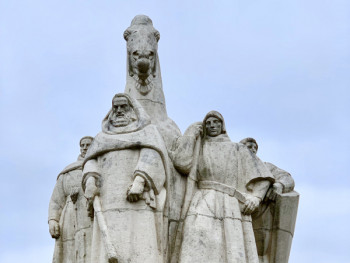
Route 13 - The four Aymon sons loop
4.82km
258m
258m
Bogny-sur-Meuse
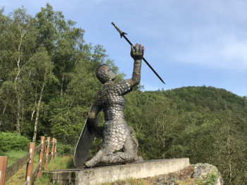
Quatre Fils Aymon challenge
2.1km
240m
20m
Bogny-sur-Meuse
Retour
FR
International
OpenStreetMap
OpenTopoMap
France
IGN Maps
Plan IGN Vector Summer
Plan IGN Vector Winter
IGN Aerial Imagery
OK
Annuler