

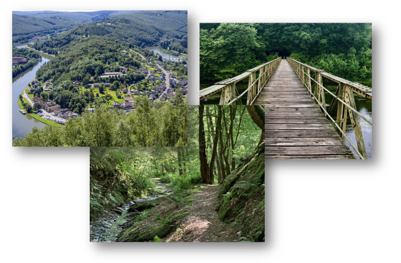
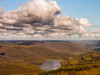
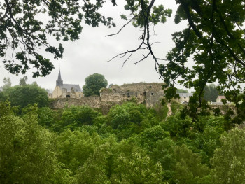
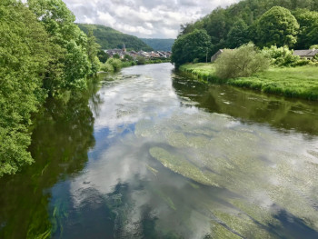
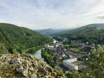
In the heart of the Regional Natural Park of the Ardennes, discover a grandiose natural territory between green forests, meadows and rivers.
From the starry city of Rocroy to the Valley of Semoy, discover the territory of Vallées et Plateau d'Ardenne which gathers some of the most beautiful jewels of the Ardennes. The Ardenne Espace Trail will take you to discover this territory full of history and legends, with its exceptional fauna and flora, ideal for nature and trail lovers! In total 4 starting sites for 14 trail routes including a challenge and a vertical.


9.5km 140m 150m
Rocroi
Route opened

14.68km 370m 370m
Rocroi
Route opened
31.8km 970m 970m
Rocroi
Route opened

8.4km 210m 200m
Les Mazures
Route opened

11.3km 70m 70m
Les Mazures
Route opened
24.1km 466m 466m
Les Mazures
Route opened

13.24km 508m 508m
Les Hautes-Rivières
Route closed

25.14km 1102m 1102m
Les Hautes-Rivières
Route closed
27.85km 1095m 1095m
Les Hautes-Rivières
Route opened

9.8km 250m 250m
Bogny-sur-Meuse
Route opened

14.5km 800m 800m
Bogny-sur-Meuse
Route opened
23.93km 1170m 1170m
Bogny-sur-Meuse
Route opened

4.82km 258m 258m
Bogny-sur-Meuse
Route opened

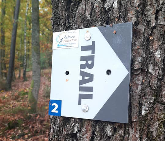
To orient you during your run, routes of Ardenne Espace Trail are equipped with trail directional markers. Each marker is printed with the number(s) of the itinerary(s) to be followed with their colour of difficulty (green - blue - red - black) or their particularity (orange = vertical; purple = trail running challenge).
The trail-running markers are placed in a regular way, at each directional change. Between two trail directional markers, follow the existing hiking markers.

the digital trails

![]()
Info & contacts
Communauté de Communes Vallées et Plateau d'Ardenne
6 rue de Montmorency - BP41
08230 Rocroi
ardennesportsnature@ccvpa.fr
Tel : 03 24 36 08 61
 Ardenne Espace Trail - Ardenne Espace Trail

