
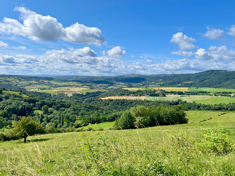
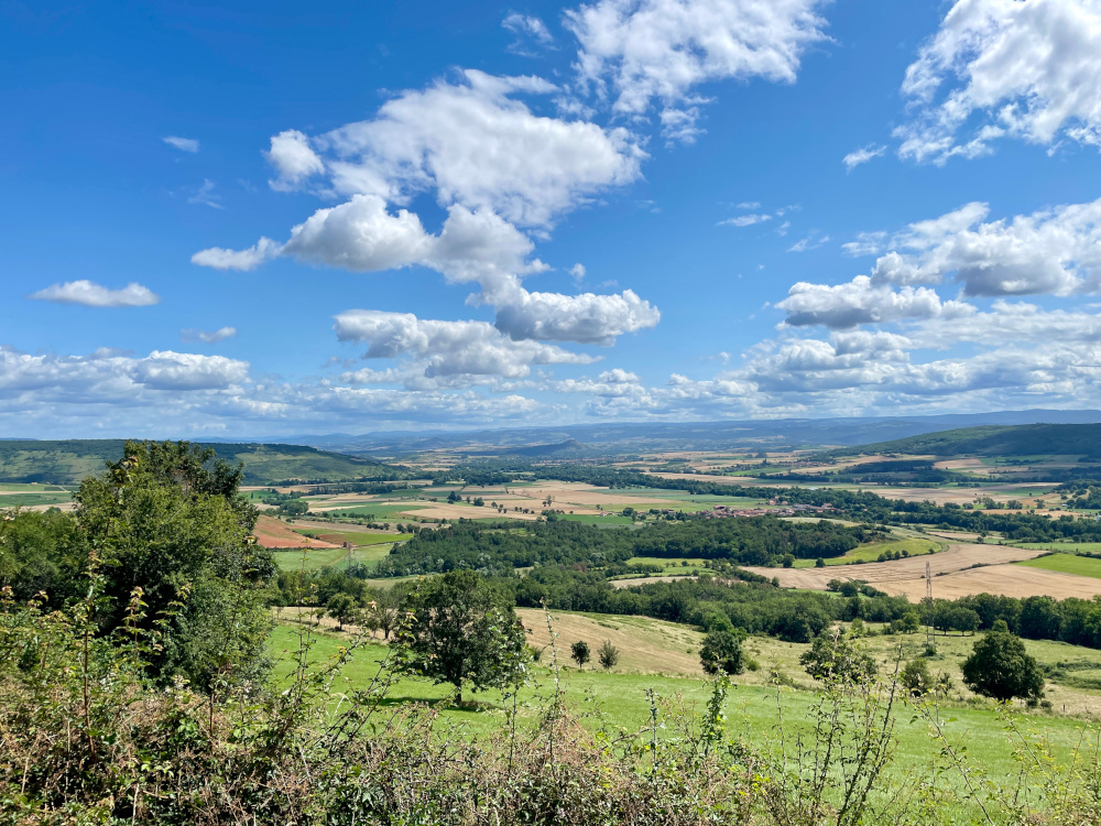
This is the start of a long loop at the gateway to the Cézallier! The route takes you up and down both sides of the Couze d'Ardes gorge via beautiful forest singles and wide country lanes, discovering the many charming hamlets surrounding your starting point. Because of its height difference and length, the route is aimed at experienced runners, but it's a perfect opportunity to try longer distances while enjoying yourself in a beautiful setting.
Leaving Ardes-sur-Couze, you'll quickly gain height in the forest for a very pleasant first section. You then descend into the gorge via a fine technical path, before climbing back up to the hamlet of Rentières, from where you can enjoy a view of your starting point and the surrounding area. After passing through the fields, it's time for another climb to the highest point of your outing: the hamlet of Fromental, whose viewpoint at the summit is well worth a visit. The ensuing descent along a wide farm track gives you plenty of opportunity to get your legs moving, but be careful to keep your feet under you, because once you've crossed the river once again, the final difficulty of the day is just around the corner. Nearly 300m of ascent later, having passed through the village of Augnat, you'll be able to enjoy the sublime green and undulating landscapes of the area one last time. Then you'll plunge quietly towards Ardes-sur-Couze in the final kilometres, with almost the entire route you've covered on the horizon.

- Distance 28.48 km
- Elevation gain 880 m
- Elevation lost 880 m
- Min. elevation 486 m
- Max. elevation. 819 m
- Duration (depending on pace) 3h à 6h20
- Suivre le balisage Trail-running n°12 red


Agglo Pays d'Issoire
Service Sport
04 15 62 20 00
![]()
Communauté de Communes du Massif du Sancy
Pôle de Pleine Nature
04 73 65 24 48
 Espace Trail Cœur d'Auvergne - Parcours - Route 12 - La Vallée de Rentières
Espace Trail Cœur d'Auvergne - Parcours - Route 12 - La Vallée de Rentières
Espace Trail Cœur d'Auvergne - Parcours - Route 12 - La Vallée de Rentières
Espace Trail Cœur d'Auvergne - Parcours - Route 12 - La Vallée de Rentières
Espace Trail Cœur d'Auvergne - Parcours - Route 12 - La Vallée de Rentières

