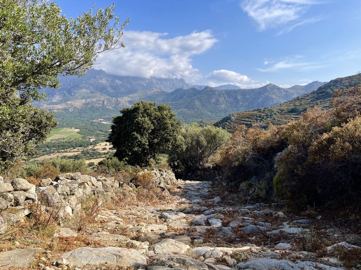
N°9 - Giru di u Capu Curbinu
Add to my favorites

Route opened

Ce circuit vous mène à la découverte de quatre villages perchés offrant des points de vue exceptionnels sur le Golfe d’Île-Rousse, la plaine d’Aregno, la vallée du Reginu et les montagnes du Ghjunsani. L’itinéraire est rythmé par une découverte incessante d’un patrimoine local riche, entre sentiers historiques empierrés, édifices religieux et patrimoine agropastoral. Un parcours idéal pour effectuer une belle sortie d’entrainement tout en découvrant le territoire !
The characteristics of the route.

Santa-Reparata-di-Balagna (2B)
- Distance 15.3 km
- Elevation gain 670 m
- Elevation lost 680 m
- Min. elevation 123 m
- Max. elevation. 456 m
- Duration (depending on pace) 1h50 à 3h40
Report a problem Add a comment
PDF map
Add your time and share your feelings
Services nearby

Santa Reparata di Balagna
Santa-Reparata-di-Balagna

Confrérie Sant'Antone
Santa-Reparata-di-Balagna

Eglise paroissiale Santa Reparata
Santa-Reparata-di-Balagna

La Santa
Santa-Reparata-di-Balagna

Auberge Sant'Antone
Santa-Reparata-di-Balagna
Ile-Rousse Balagne Tourist Office 04 95 60 04 35 info@ileroussetourisme.com
OK
Annuler


