Boucle VTT FFC 12 - Codole
Add to my favorites

After crossing the railway line, cross the Reginu waterway. Guard dogs have been reported between kilometres 6.9 and 7.2. Descent from Monticellu: Caution, very rocky terrain. Crossing on foot recommended.
Route opened
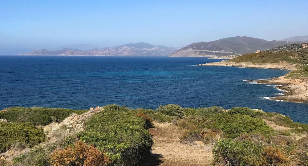
Circuit going from the seaside to the banks of the Codole dam in the heart of the Reginu Valley, Natura 2000 site for the preservation of the Royal Kite. Varied route between the seaside and the valley, combining single techniques
The characteristics of the route.

L'Île-Rousse (2B)
- Distance 25.15 km
- Elevation gain 700 m
- Elevation lost 700 m
- Min. elevation 2 m
- Max. elevation. 351 m
- Duration (depending on pace) 2h30
- Marking Yes
Delicate passages : 1: As you leave the coast, you'll be crossing a busy road with poor visibility. Be careful. After crossing, turn left.
2: After reaching the Reginu plain past the Complexe Saint François de Monticello, you will have to cross the railroad twice. Make sure the train is not approaching.
3 : Vigilance: after crossing the railroad, cross a waterway (the Reginu). Watchdogs are posted between kilometers 6.9 and 7.2. Descent from Monticellu: caution, very stony passage, crossing on foot recommended.Admission fee : Free access.Opening : Closed temporarily.
Report a problem
Website
Add your time and share your feelings
Services nearby

Le Clos Saint Paul
L'Île-Rousse
Villa Joséphine
L'Île-Rousse

Joséphine à Table
L'Île-Rousse

Boulangerie des îles
L'Île-Rousse
Casa Mare
L'Île-Rousse


Information updated on 2026-04-16 by Office de Tourisme Intercommunal de L'Ile Rousse-Balagne


Follow us on
the digital trails
the digital trails



Infos & contacts
Tourism Office
Île Rousse - Lisula
+33(0)4 95 60 04 35
 Lisula - Outdoor & Trail - Parcours - Boucle VTT FFC 12 - Codole
Hello, world! This is a toast message.
Lisula - Outdoor & Trail - Parcours - Boucle VTT FFC 12 - Codole
Hello, world! This is a toast message.
Lisula - Outdoor & Trail - Parcours - Boucle VTT FFC 12 - Codole
Hello, world! This is a toast message.


OK
Annuler