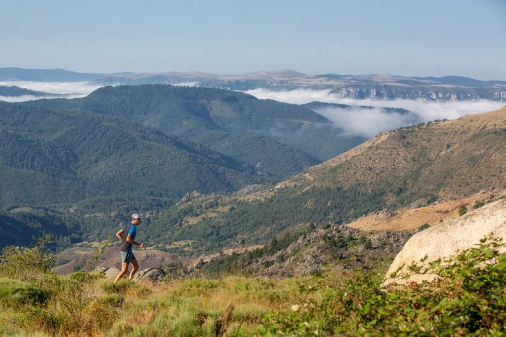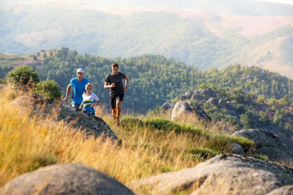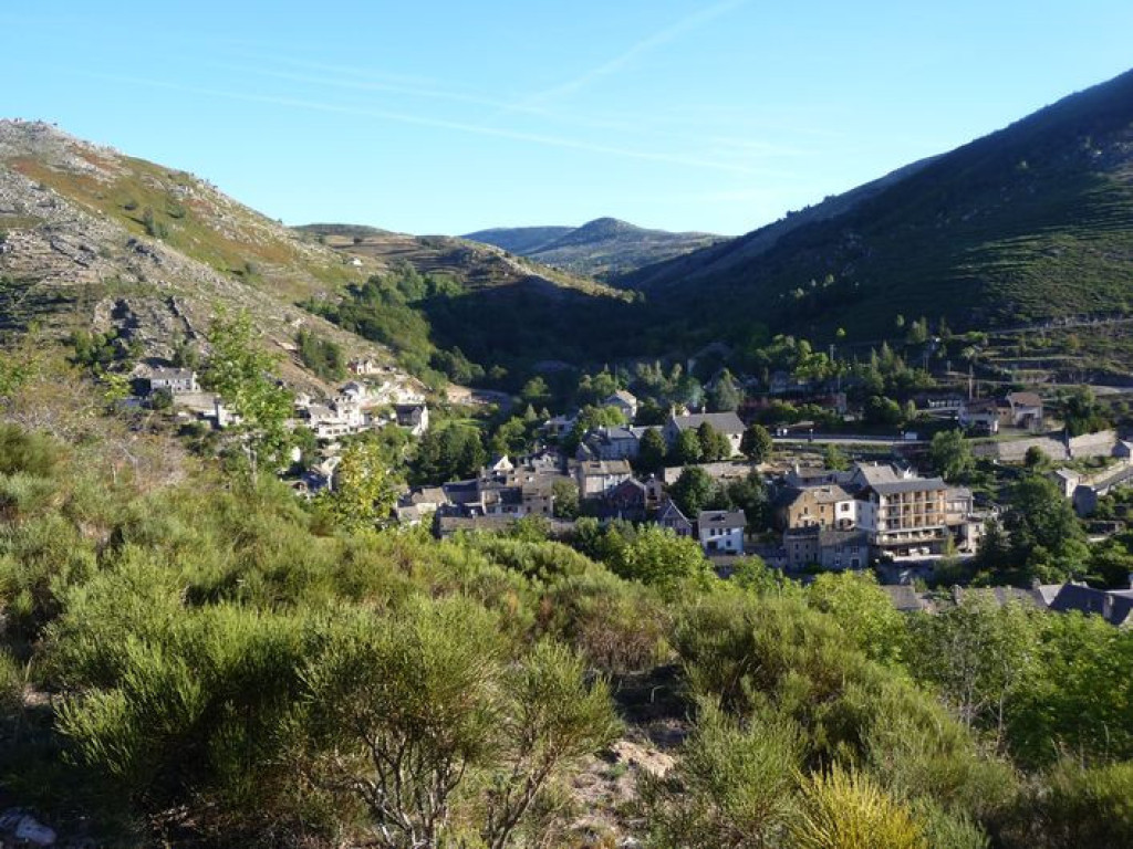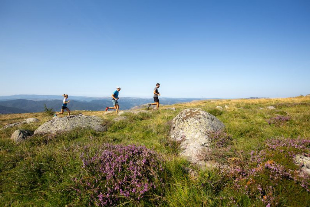
Follow in the footsteps of Robert Louis Stevenson to reach the Col de Finiels pass, then take the old Roman road to the hamlet of L'Hôpital, and make a brief visit to the famous Pont du Tarn to wrap up this beautiful large circuit.

- Distance 31.03 km
- Elevation gain 1010 m
- Elevation lost 1010 m
- Min. elevation 870 m
- Max. elevation. 1698 m
- Duration (depending on pace) 3h30
- Suivre le balisage Yes


The trail starts with a gradual climb totalling 900 metres of elevation gain in about 10 kilometres. Nothing complicated, but it’s best to be mentally prepared… This takes you to the summit of Finiels. You continue to the Col de Finiels pass, then fork onto the GR®7 long-distance hiking path which descends gently to Salarial. From there, go downhill for 3 km to L’Hôpital on a track that levels out to reach the Pont du Tarn.
The trail continues with a pleasant path alongside the Tarn and then a fairly steep descent to Frutgères, via Le Merlet. Short steep section with a beautiful final descent.
Follow waymarks for trail #25.
Signposts will guide you all along this route, as well as yellow painted waymarks. In the description below, the signposted place names and/or directions are given in bold italics between quotation marks:
From "Pont de Montvert" go to "Finiels" via :
- "Rieumal".
- At "Finiels", climb to "Sommet de Finiels" via :
- "Les Clapiers",
- "Travers de l'Homme",
- "Abri forestier de Mallevrière",
- "Valat de la Mouline",
- "Route Forestière des crêtes".
- At "Sommet de Finiels", head to "Col de Finiels" via :
- "Col de la Draille" and
- "Sous le col de Finiels".
- At "Col de Finiels" go to "L'Hôpital" via :
- "Ancienne voie romaine",
- "Salarial",
- "Croix de Malte", "L'Hôpital".
- At "L'Hôpital", go to "Pont du Tarn" via :
- "Prat Redoun".
- From "Pont du Tarn", return to "Pont de Montvert" via :
- "Gap Francès",
- "La plaine du Tarn",
- "Bois de la Mouline" (2x),
- "Le Merlet",
- "Lou Mouly",
- "L'Avès",
- "Prat del Lach",
- "La Barte",
- "Quartier de la Barte",
- "Temple".
This trail is taken from the guidebook Mont Lozère – Pays des sources, published by the Pôle de pleine nature du mont Lozère.
Parking : Car park at the Temple (Protestant church)
En haute saison, stationnement difficile dans le village ; privilégiez le parking indiqué en sortie du village.
Attention sur Finiels, présence possible de chien(s) de protection (patou-s) sur le secteur, adapté votre comportement.
Avant de vous engager sur un circuit, vérifiez qu'il est adapté à votre activité et à votre niveau. N'oubliez pas que le temps change vite en montagne. Refermez bien les clôtures et les portillons. Restez sur les chemins balisés.
Get all the routes on your smartphone with the Lozère outdoor app. You'll find all outdoor activities (summer and winter seasons) and a host of functions :
- Take advantage of detailed IGN maps
- Download data for consultation even when you're not connected to the network
- Geolocate yourself at any time on the route and altimeter profile
- Activate the off-track alarm to be alerted if you stray from the itinerary
- Share your experience (add a report, share your lap time)...



the digital trails





The Lozère Outdoor application was created
by the Lozère Department
Infos & contacts
Conseil départemental de la Lozère
sportsnature@lozere.fr
+33(0)4 66 49 66 32
Crédits photos
 Lozère Outdoor - Parcours - Finiels and Pont du Tarn, Trail #25
Lozère Outdoor - Parcours - Finiels and Pont du Tarn, Trail #25
Lozère Outdoor - Parcours - Finiels and Pont du Tarn, Trail #25
Lozère Outdoor - Parcours - Finiels and Pont du Tarn, Trail #25
Lozère Outdoor - Parcours - Finiels and Pont du Tarn, Trail #25