
Treat yourself to the ascent of the summit of Finiels and a gambol on the heights of Mont Lozère.
Offrez vous la montée au sommet de Finiels tout en gambadant sur les hauteurs du mont Lozère.
- Distance 6.9 km
- Elevation gain 170 m
- Elevation lost 170 m
- Min. elevation 1537 m
- Max. elevation. 1699 m
- Duration (depending on pace) 1h
- Suivre le balisage Yes

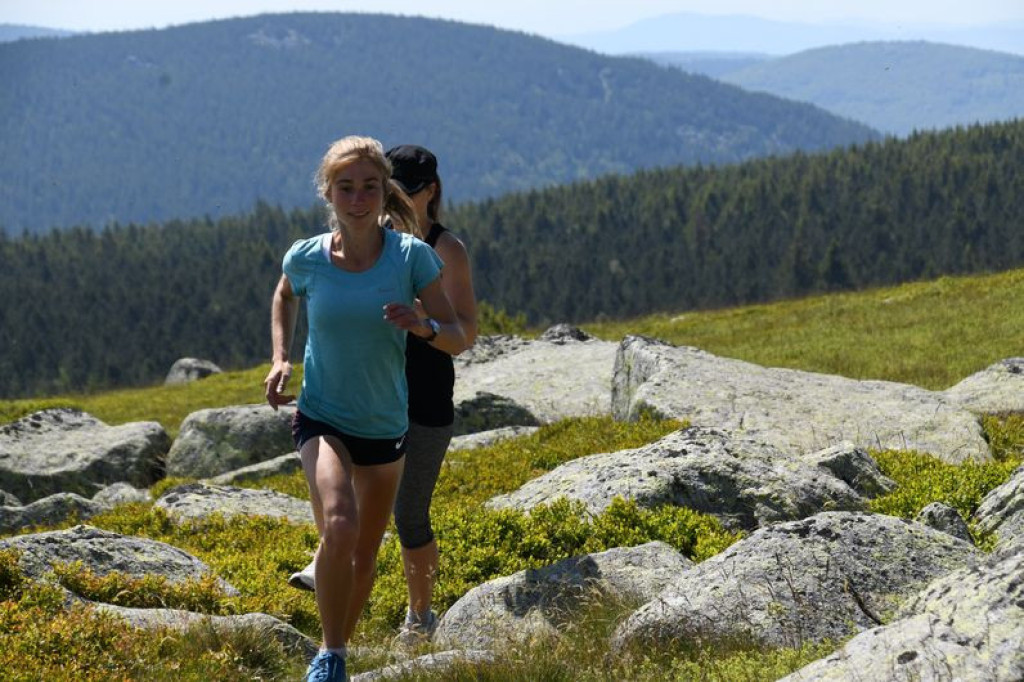
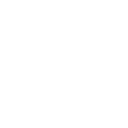
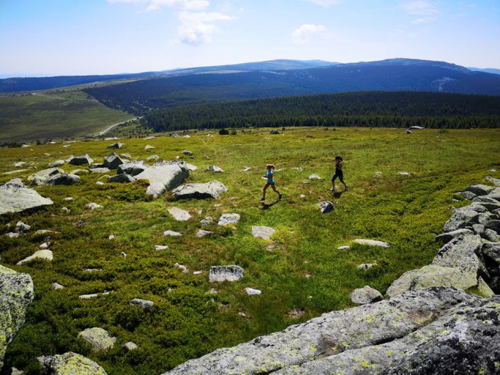
The first section is very calm, alternating between forest track and paths – ideal for enjoying the panoramic views.
Then a short steep part on a path to reach the summit of Finiels (1,699 metres, the highest point in Lozère). Finally a pleasant descent on “the path less travelled” through forest and pastureland.
Follow the waymarks for #17v.
Signposts will guide you all along this route, as well as yellow painted waymarks. In the description below, the signposted place names and/or directions are given in bold italics between quotation marks:
From "Col de Finiels", take :
- "Bas du Col Plat",
- "Col Plat" and "Font de Sénebébios".
- At "Font de Sénebébios", head for "Sommet de Finiels" via
- "Col de la Draille",
- "Valat de la Mouline" and
- "Route Forestière des Crêtes".
- At "Sommet de Finiels", return to "Col de Finiels" via :
- "Col de la draille" and
- "Sous le col de Finiels".
This hike is taken from the guidebook Mont Lozère – Pays des sources, published by the Pôle de pleine nature du mont Lozère.
Parking : Col de Finiels
Sommet souvent venté, pensez au coupe-vent. A éviter par fort brouillard ou fort vent. Vigilance particulière par temps de neige et/ou brouillard.
Attention sur Finiels, présence possible de chien(s) de protection (patou-s) sur le secteur, adaptez votre comportement.
Avant de vous engager sur un circuit, vérifiez qu'il est adapté à votre activité et à votre niveau. N'oubliez pas que le temps change vite en montagne. Refermez bien les clôtures et les portillons. Restez sur les chemins balisés.
Get all the routes on your smartphone with the Lozère outdoor app. You'll find all outdoor activities (summer and winter seasons) and a host of functions :
- Take advantage of detailed IGN maps
- Download data for consultation even when you're not connected to the network
- Geolocate yourself at any time on the route and altimeter profile
- Activate the off-track alarm to be alerted if you stray from the itinerary
- Share your experience (add a report, share your lap time)...

Pantelgil
Pantelgil


the digital trails


![]()
The Lozère Outdoor application was created
by the Lozère Department
Infos & contacts
Conseil départemental de la Lozère
sportsnature@lozere.fr
+33(0)4 66 49 66 32
Crédits photos
 Lozère Outdoor - Parcours - Summit of Finiels and Pelouse, variant Trail #17v
Lozère Outdoor - Parcours - Summit of Finiels and Pelouse, variant Trail #17v
Lozère Outdoor - Parcours - Summit of Finiels and Pelouse, variant Trail #17v
Lozère Outdoor - Parcours - Summit of Finiels and Pelouse, variant Trail #17v
Lozère Outdoor - Parcours - Summit of Finiels and Pelouse, variant Trail #17v

