
Attention !
suites aux intempéries, le pont traversant le cours d'eau de l'Oultet a été emporté, rendant impraticable la randonnée. Merci de ne pas vous y engager.
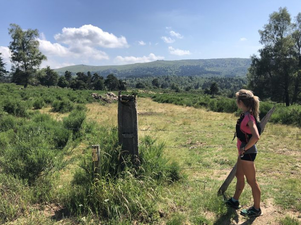
Explore the hidden hamlets of Mont Lozère and embrace their serenity.
An itinerary without any tar for those who love great escapes !

- Distance 23.4 km
- Elevation gain 860 m
- Elevation lost 860 m
- Min. elevation 902 m
- Max. elevation. 1371 m
- Duration (depending on pace) 3h
- Suivre le balisage Yes

Signposts will guide you all along this route: follow the waymarks for trail #9.
Your adventure starts with a rather steep climb on a pleasant little path. The slope becomes gentler, and you enter a pretty area of undergrowth. A small bridge takes you across the stream, then you start the climb to L’Oultet. Cross the hamlet and take the GR® (long-distance hiking path) towards Lozerette. You will cross rivers several times (some crossings are muddy, be careful) before starting a climb of five kilometres on a nice singletrack. There are magnificent views of Mont Lozère all along – don’t forget to take a breather and admire the view!
Your reward for this handsome climb? The incredible village of Lozerette, worth seeing so you can talk about it… You then take a small track to the hamlet of Serviès, then another to Les Sagnes. Go slightly uphill before going downhill to the magnificent hamlet of Auriac. Join the GR® again, to the Menhir de la Felgère. From this standing stone, after a short section on a track, the descent is on a wooded path. Cross the stream one last time, and you’ve arrived !
Signposts will guide you all along this route, as well as yellow painted waymarks. In the description below, the signposted place names and/or directions are given in bold italics between quotation marks:
From « Bagnols-les-Bains » , go to « Auriac » via :
- « Avenue de la Gare »,
- « Route de la Loubière »,
- « La Destourbe »,
- " La Montagnac",
- « Lou Peyrou ».
- At « Auriac » go to « Serviès » via :
- « Croix du Peyrou », then through the village Les Sagnes.
- At « Serviès » go to
- « Lozerette » then
- « Oultet ». Then go down to
- « La Dabalade ». Return to « Bagnols-les-Bains » via
- « Lou Mapas »,
- « La Destourbe », « Route de la Loubière », « Avenue de la Gare ».
This hike is taken from the guidebook Mont Lozère – Pays des sources, de la montagne du Goulet aux gorges du Bramont, published by the Pôle de pleine nature du Mont Lozère.
Parking : parking des Thermes
Par temps de fort brouillard, éviter cet itinéraire.
Avant de vous engager sur un circuit, vérifiez qu'il est adapté à votre activité et à votre niveau. N'oubliez pas que le temps change vite en montagne. Refermez bien les clôtures et les portillons. Restez sur les chemins balisés.
Get all the routes on your smartphone with the Lozère outdoor app. You'll find all outdoor activities (summer and winter seasons) and a host of functions :
- Take advantage of detailed IGN maps
- Download data for consultation even when you're not connected to the network
- Geolocate yourself at any time on the route and altimeter profile
- Activate the off-track alarm to be alerted if you stray from the itinerary
- Share your experience (add a report, share your lap time)...


the digital trails


![]()
The Lozère Outdoor application was created
by the Lozère Department
Infos & contacts
Conseil départemental de la Lozère
sportsnature@lozere.fr
+33(0)4 66 49 66 32
Crédits photos
 Lozère Outdoor - Parcours - The north slope of Mont Lozère #9
Lozère Outdoor - Parcours - The north slope of Mont Lozère #9
Lozère Outdoor - Parcours - The north slope of Mont Lozère #9
Lozère Outdoor - Parcours - The north slope of Mont Lozère #9
Lozère Outdoor - Parcours - The north slope of Mont Lozère #9

