Chabestras - Trail n°32
Add to my favorites

Route opened
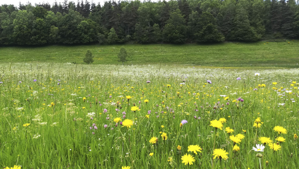
Une boucle paisible sur le beau plateau de la Margeride, à plus de 1000 m d'altitude. Idéal pour se ressourcer.
Un itinéraire roulant, qui peut être utilisé pour travailler sa vitesse; ou alors simplement pour profiter de la belle nature qui s'offre à vous.
The characteristics of the route.

Grandrieu (48)
- Distance 8 km
- Elevation gain 180 m
- Elevation lost 180 m
- Min. elevation 1135 m
- Max. elevation. 1239 m
- Duration (depending on pace) 1h
- Suivre le balisage Yes

Pour réaliser cette boucle, il suffit de suivre le balisage Trail n°32.
Parking : Place du Foirail à Grandrieu
- La première partie de la boucle s'effectue sur le GRP Tour de Margeride. Une pente douce légèrement ascendante.
- La sortie du GRP indique l'arrivée au hameau de Chabestras. L'itinéraire remet alors le cap au nord, direction Grandrieu.
- Après quelques mètres sur la route départementale, on traverse puis longe le ruisseau de Grandrieu avant de rejoindre le village.
Parking : Place du Foirail à Grandrieu
Area : Margeride
Report a problem
THIS ROUTE IN YOUR MOBILE PHONE
Download Lozère Outdoor app
Get all the routes on your smartphone with the Lozère outdoor app. You'll find all outdoor activities (summer and winter seasons) and a host of functions :
- Take advantage of detailed IGN maps
- Download data for consultation even when you're not connected to the network
- Geolocate yourself at any time on the route and altimeter profile
- Activate the off-track alarm to be alerted if you stray from the itinerary
- Share your experience (add a report, share your lap time)...

Add your time and share your feelings


Information updated on 2026-05-28 by Département de la Lozère

Follow us on
the digital trails
the digital trails


![]()
The Lozère Outdoor application was created
by the Lozère Department
Infos & contacts
Conseil départemental de la Lozère
sportsnature@lozere.fr
+33(0)4 66 49 66 32
Crédits photos
 Lozère Outdoor - Parcours - Chabestras - Trail n°32
Hello, world! This is a toast message.
Lozère Outdoor - Parcours - Chabestras - Trail n°32
Hello, world! This is a toast message.
Lozère Outdoor - Parcours - Chabestras - Trail n°32
Hello, world! This is a toast message.


OK
Annuler