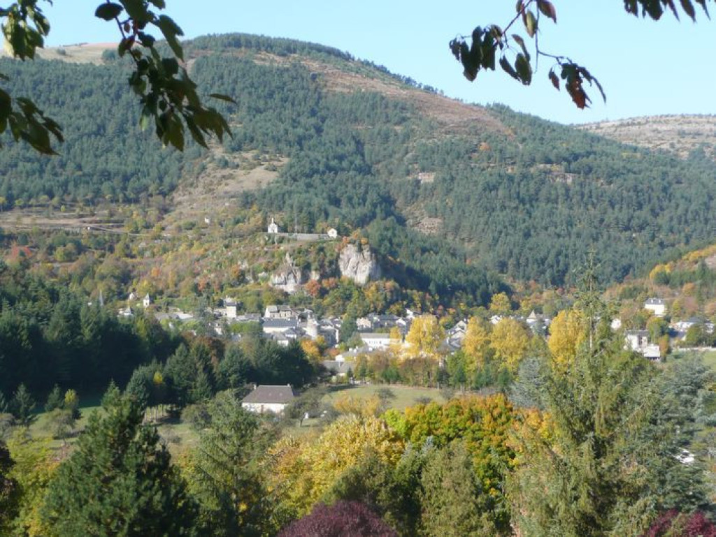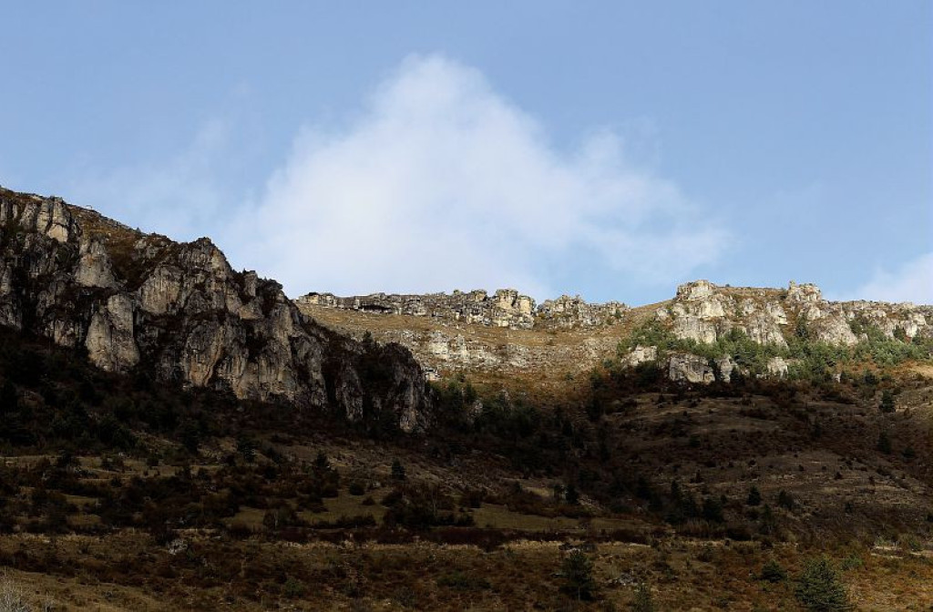
This trail takes you from the arid Causses plateau to the foothills at Le Puech Pounchut, and lets you discover the upper Jonte valley with all its contrasts.
Un sentier très panoramique; Montée vers Pauparelle à la découverte des toits de Meyrueis imbriqués les uns dans les autres et blottis au pied du rocher, débouchant sur les gorges de la Jonte bordée par le causse Méjean et le massif de l’Aigoual : un voyage entre Causses et Cévennes.

- Distance 11.96 km
- Elevation gain 470 m
- Elevation lost 470 m
- Min. elevation 696 m
- Max. elevation. 1030 m
- Duration (depending on pace) 4h
- Suivre le balisage Yes

From the Champ de Mars car park, take on the right Rue du Commandeur, then on the left Rue du Mgr Maret, cross the bridge and turn right onto Quai Sully. At the end of the street, by the tourism office, take the road towards Florac by turning first right then immediately left. Stay on the road for 200 m.
1) By the small public garden with a stone cross, take the path on the left alongside the high wall. After 250 m, by a tarred road, take the lane on your right that runs along the back of a large building. The path joins up with the D 986, which you cross before taking the steep path opposite for 150 m, where it meets an old track. Turn left onto this until you reach the road leading to Pauparelle.
2) Turn right onto the road to reach the hamlet of Pauparelle. Pass the hamlet on the right and continue straight ahead on a track suitable for motor vehicles. After about 100 m, at a fork, take the steep ascent on the right. After 200 m, the track runs alongside the cliffs of the Causse Méjean plateau. When it parallels the road, keep walking along until you join up with it.
3) Just before the road, go downhill on the right on the old path to the cistern of Salvinsac. The descent finishes by the D 996.
4) Cross it to take a tarred downhill section into the hamlet. Cross the River Jonte and, after the bridge, head towards La cascade campsite.
5) By the campsite, take the track uphill and, after the bend, turn right then left uphill. At the next crossroads, continue straight ahead. At the next fork, turn left uphill.
6) In the pine forest, take the steep descent on the right, which can be slippery (pine needles). At the bottom, take the path on the left (which can be muddy). At the crossroads, turn right onto a road with hairpin bends.
7) Take the tarred road in the middle. From the fountain in the hamlet, you can do a detour downhill to the mediaeval bridge, the Pont des Six Liards. To return to the centre of Meyrueis, go above the Jardin des Cévennes campsite, and turn right then left to reach your starting-point.
Parking : Carpark behind the Crédit Agricole
Get all the routes on your smartphone with the Lozère outdoor app. You'll find all outdoor activities (summer and winter seasons) and a host of functions :
- Take advantage of detailed IGN maps
- Download data for consultation even when you're not connected to the network
- Geolocate yourself at any time on the route and altimeter profile
- Activate the off-track alarm to be alerted if you stray from the itinerary
- Share your experience (add a report, share your lap time)...



the digital trails





The Lozère Outdoor application was created
by the Lozère Department
Infos & contacts
Conseil départemental de la Lozère
sportsnature@lozere.fr
+33(0)4 66 49 66 32
Crédits photos
 Lozère Outdoor - Parcours - Pauparelle
Lozère Outdoor - Parcours - Pauparelle
Lozère Outdoor - Parcours - Pauparelle
Lozère Outdoor - Parcours - Pauparelle
Lozère Outdoor - Parcours - Pauparelle