
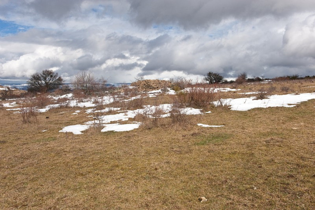
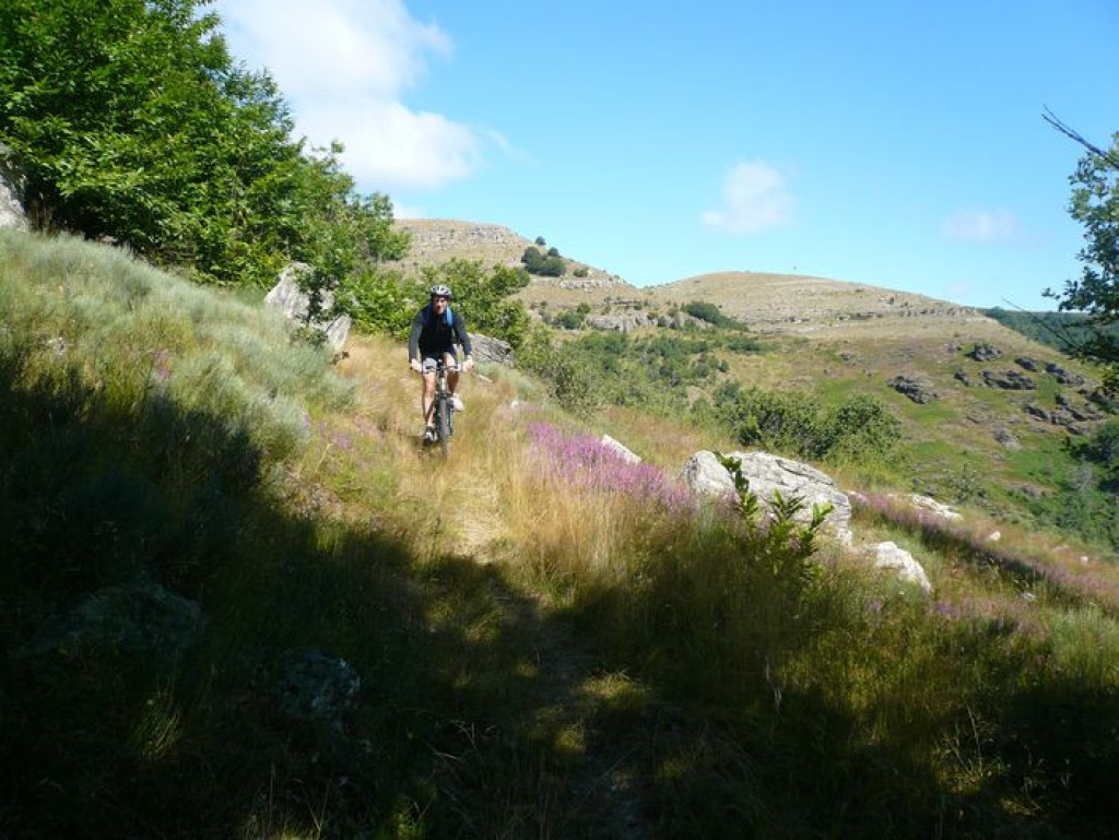
This circuit takes you from the Can (limestone plateau) through the Mimente valley and onto the disused railway track, leting you discover the landscapes of the Cévenol valleys.

- Distance 30.43 km
- Elevation gain 820 m
- Elevation lost 820 m
- Min. elevation 609 m
- Max. elevation. 1025 m
- Duration (depending on pace) 4h
- Suivre le balisage Yes

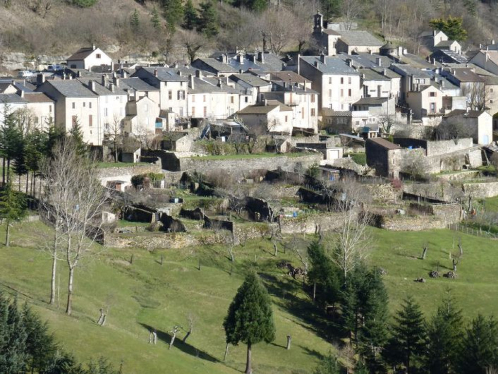
Mountain-bike route #8. From the Col du Rey, go downhill to and through Barre-des-Cévennes to get onto the GR72 via the four crossroads. Cycle to the Espace Stevenson. From there, take the disused railway track alongside the river Mimente towards Florac as far as Saint-Julien-d'Arpaon (Stevenson Trail, GR70). Go uphill in the Briançon valley to Bouars and then Ferrières. Once on the Can, take the road leading to the Col du Rey for 2 km.
Parking : Col du Rey
Get all the routes on your smartphone with the Lozère outdoor app. You'll find all outdoor activities (summer and winter seasons) and a host of functions :
- Take advantage of detailed IGN maps
- Download data for consultation even when you're not connected to the network
- Geolocate yourself at any time on the route and altimeter profile
- Activate the off-track alarm to be alerted if you stray from the itinerary
- Share your experience (add a report, share your lap time)...


the digital trails


![]()
The Lozère Outdoor application was created
by the Lozère Department
Infos & contacts
Conseil départemental de la Lozère
sportsnature@lozere.fr
+33(0)4 66 49 66 32
Crédits photos
 Lozère Outdoor - Parcours - The Corniche des Cévennes (by mountain-bike)
Lozère Outdoor - Parcours - The Corniche des Cévennes (by mountain-bike)
Lozère Outdoor - Parcours - The Corniche des Cévennes (by mountain-bike)
Lozère Outdoor - Parcours - The Corniche des Cévennes (by mountain-bike)
Lozère Outdoor - Parcours - The Corniche des Cévennes (by mountain-bike)

