
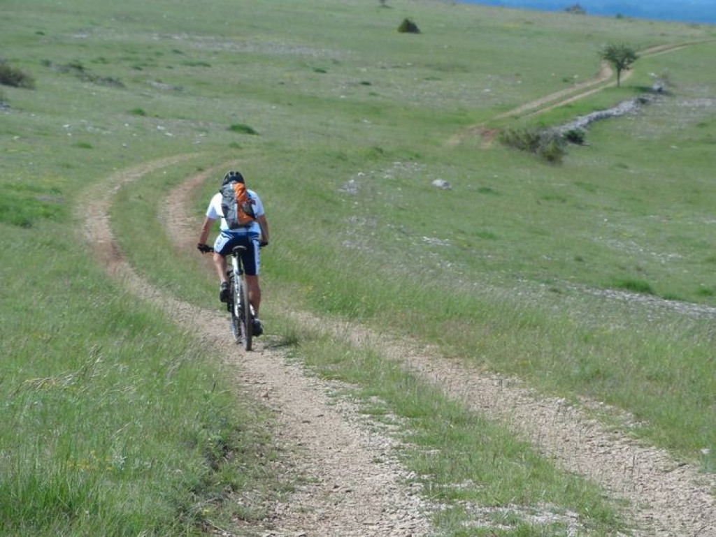
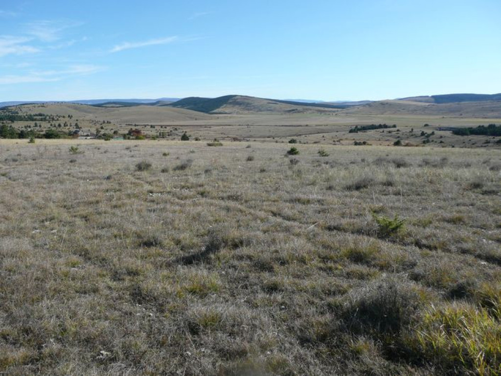
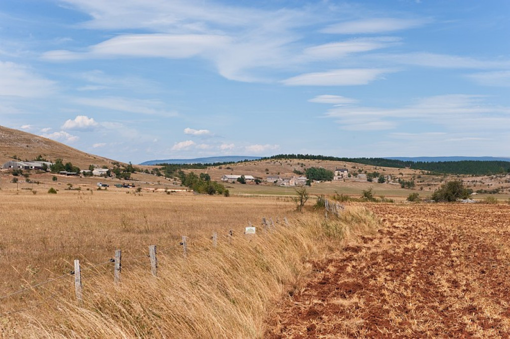
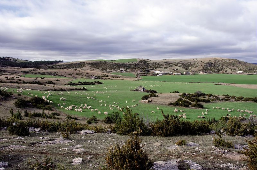
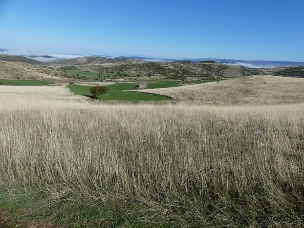
This trail is entirely on the Causse Méjean. It goes through the steppe-like landscape that is specific to the Causses plateaux. Natural Scots-pine forests and planted black-pine forests dot the route and bring some shade. You can see handsome traditional farms and typical hamlets built entirely from limestone.
The plateau of the Causse Méjean seems to stretch out forever. But appearances can be deceptive! This flatness conceals a number of short steep climbs.

- Distance 42.14 km
- Elevation gain 800 m
- Elevation lost 800 m
- Min. elevation 867 m
- Max. elevation. 1073 m
- Duration (depending on pace) 4h30
- Suivre le balisage Yes

Mountain-bike route # 2. From the Col de Pierre Plate, go down a small technical descent to join up with the road leading to Le Tomple. Go through the hamlet and continue to La Condamine. At the crossroads with the road going towards Montbrun, go left for a few metres, then turn right onto a small path. Join up with the track leading to Fraissinet-de-Poujols. Go through the hamlet and turn right towards Poujols. Continue straight all the way to Chaldas. After Chaldas, at Point 1015, take the path going downhill to Chamblon. Go into the hamlet and continue on the road (GR 60) and then on the track (GR 60). Cross the D 16 and skirt Le Fraisse farm to get to Nivoliers. In Nivoliers, head towards Cavaladette on a former village track. Below Cavaladette, take the road and, at the cross, turn right onto the track leading to Cavalade, Cros Roux, Cros Garnon. In Cros Garnon, pass in front of the church before going first to La Mecoire and then to Valbelle. Take the D 16 for 3 km to return to the car park at the Col de Pierre Plate.
Parking : Car park at the Col de Pierre Plate
Get all the routes on your smartphone with the Lozère outdoor app. You'll find all outdoor activities (summer and winter seasons) and a host of functions :
- Take advantage of detailed IGN maps
- Download data for consultation even when you're not connected to the network
- Geolocate yourself at any time on the route and altimeter profile
- Activate the off-track alarm to be alerted if you stray from the itinerary
- Share your experience (add a report, share your lap time)...


the digital trails


![]()
The Lozère Outdoor application was created
by the Lozère Department
Infos & contacts
Conseil départemental de la Lozère
sportsnature@lozere.fr
+33(0)4 66 49 66 32
Crédits photos
 Lozère Outdoor - Parcours - The Causse Loop (by mountain-bike)
Lozère Outdoor - Parcours - The Causse Loop (by mountain-bike)
Lozère Outdoor - Parcours - The Causse Loop (by mountain-bike)
Lozère Outdoor - Parcours - The Causse Loop (by mountain-bike)
Lozère Outdoor - Parcours - The Causse Loop (by mountain-bike)

