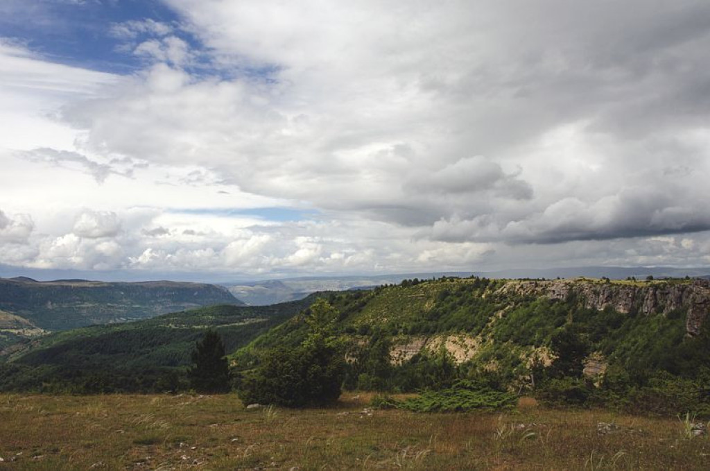
At the Col de Salidès, there are 360° panoramic views of Mont Aigoual, the Cévennes and the Causses!
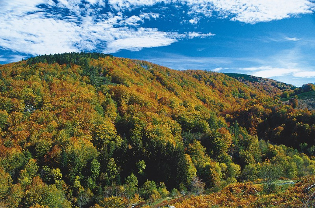
The Tarnon valley is shaded by the old beech groves of Le Marquairès state forest. At the Col de Salidès, views open up onto the characteristic landscapes of the National Park. In the distance, flocks of sheep still graze on the limestone plateau of the Can de l'Hospitalet sitting on its schist platform.

- Distance 22.89 km
- Elevation gain 730 m
- Elevation lost 730 m
- Min. elevation 748 m
- Max. elevation. 1144 m
- Duration (depending on pace) 3h
- Suivre le balisage Yes

Mountain-bike route #14. From the village, take the D 907 for 4 km towards the Tunnel du Marquairès. Before the tunnel, fork right towards Le Marquairès forester's house and continue on the forestry track to Gaseiral. Take the road uphill to the Col de Salidès and there take the ridge track on your left to L'Hospitalet (GR 7). After about 3 km, take the track on the left that leads back to Rousses.
Parking : Car park close to the Café "La Ruche"
Get all the routes on your smartphone with the Lozère outdoor app. You'll find all outdoor activities (summer and winter seasons) and a host of functions :
- Take advantage of detailed IGN maps
- Download data for consultation even when you're not connected to the network
- Geolocate yourself at any time on the route and altimeter profile
- Activate the off-track alarm to be alerted if you stray from the itinerary
- Share your experience (add a report, share your lap time)...



the digital trails





The Lozère Outdoor application was created
by the Lozère Department
Infos & contacts
Conseil départemental de la Lozère
sportsnature@lozere.fr
+33(0)4 66 49 66 32
Crédits photos
 Lozère Outdoor - Parcours - The Roof of the Cévennes (by mountain-bike)
Lozère Outdoor - Parcours - The Roof of the Cévennes (by mountain-bike)
Lozère Outdoor - Parcours - The Roof of the Cévennes (by mountain-bike)
Lozère Outdoor - Parcours - The Roof of the Cévennes (by mountain-bike)
Lozère Outdoor - Parcours - The Roof of the Cévennes (by mountain-bike)