Circuit 43. Le refuge d'Arrémoulit
Add to my favorites

Snowy / icy
Route closed
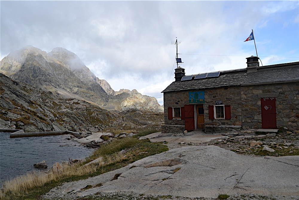
The Arrémoulit refuge and its lake at 2305 m are nestled in the heart of a glacial cirque formed by the walls of the highest peaks in the Ossau Valley (Palas 2974 m, Arriel 2824 m). It can be accessed without technical difficulty, allowing hikers to get close to the mineral world of the high mountains and high altitude lakes.
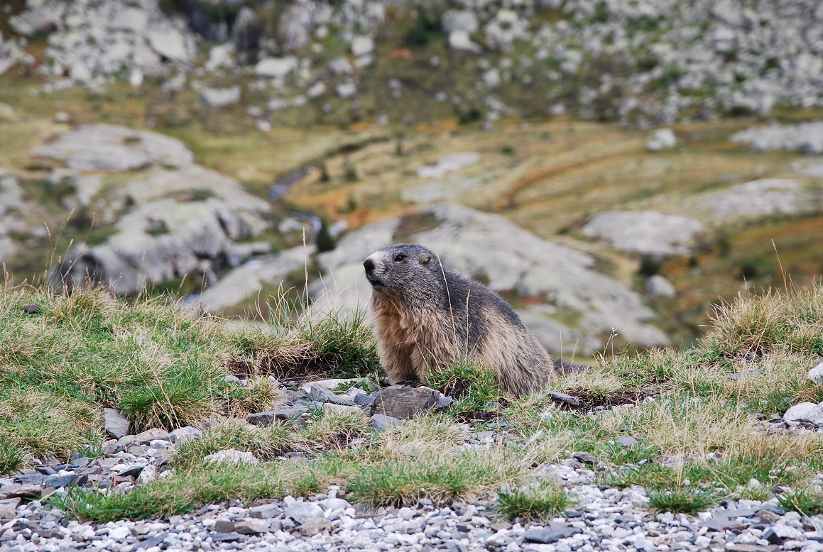
Keep an eye out for isards and marmots in the area! The marmot, which disappeared from the Pyrenees at the end of the last ice age, was reintroduced in 1948. Many were released in 1967, when the National Park was created. Today it occupies all the Pyrenean valleys and its strident cry, which one might think came from a bird, will accompany you on your summer walks.The characteristics of the route.
Soques (ES)
- Distance 14.44 km
- Elevation gain 1270 m
- Elevation lost 1270 m
- Min. elevation 1400 m
- Max. elevation. 2272 m
- Duration (depending on pace) 6h
- Marking panneaux directionnels, pas de balisage
You may notice differences between the distance and elevation data displayed on the digital tools and the pdf file due to different data sources.
Report a problem
PDF_Files_Hiking43_Le refuge d'Arrémoulit Fiche PDF Le refuge d'Arrémoulit 2025
Add your time and share your feelings
Services nearby

Hébergement Associatif Béarn Pont de Camps
PONT-DE-CAMPS
Refuge de Pombie
COL-DU-POURTALET

Artouste charging station
Artouste
L'Estibère
GABAS

Restaurant Le Panoramic
ARTOUSTE



Follow us on
the digital trails
the digital trails



The Ossau Valley Tourist Office
Welcome desk of Laruns
Maison de la Vallée d’Ossau – 64 440 LARUNS
+33(0)5 59 05 31 41
Tourist Office
 Ossau valley Land of adventures - Parcours - Circuit 43. Le refuge d'Arrémoulit
Hello, world! This is a toast message.
Ossau valley Land of adventures - Parcours - Circuit 43. Le refuge d'Arrémoulit
Hello, world! This is a toast message.
Ossau valley Land of adventures - Parcours - Circuit 43. Le refuge d'Arrémoulit
Hello, world! This is a toast message.


OK
Annuler