Circuit VTT n°21. L'enduro du Boila
Add to my favorites

Posible snow
Route opened
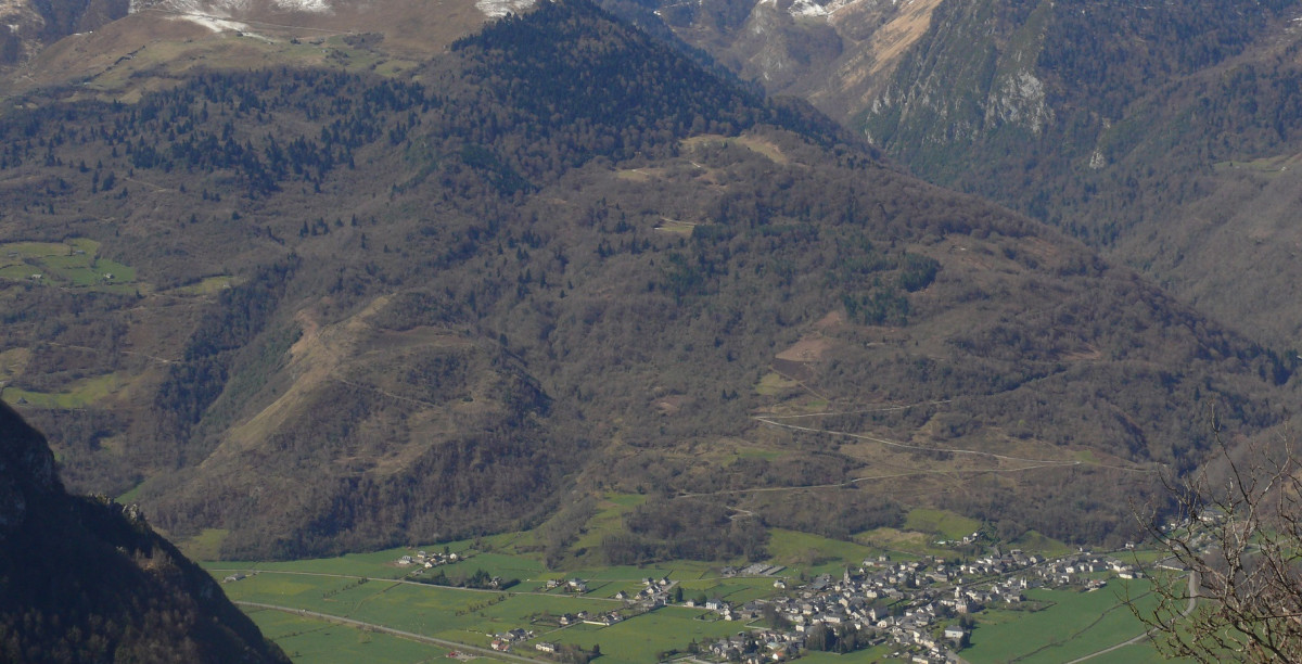
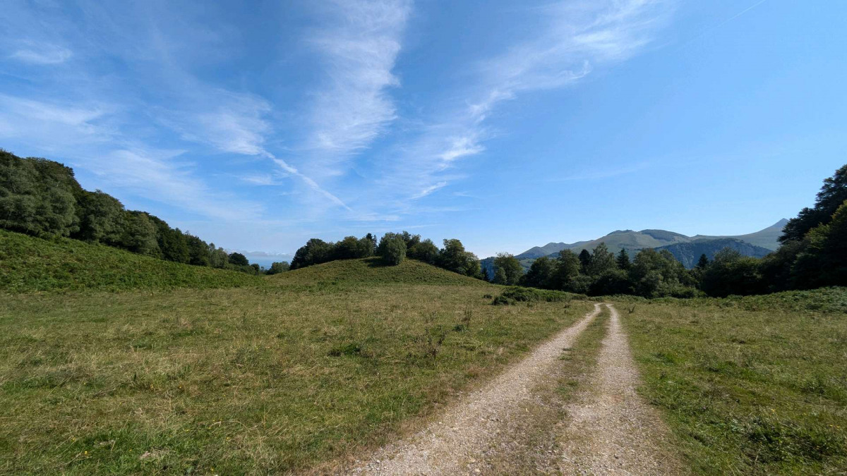
A short but physical loop with a rise on the path to the Plané d’Assiste plateau, then a descent to the village of Bielle.
The characteristics of the route.
Bielle (64)
- Distance 9.65 km
- Elevation gain 520 m
- Elevation lost 520 m
- Min. elevation 456 m
- Max. elevation. 969 m
- Duration (depending on pace) 1h30
- Marking VTT-FFC n°21 red
The Ossau Valley and « Pyrénées Béarnaises » are certified by the French Cycling Federation (FFC).
Report a problem
PDF MTB - Enduro Boila Gbug
finished in 01:35:00
The 2024/08/23
En savoir plus
Ajouter votre chrono et partager vos sensations
2024/08/23 01:35:00
Gbug
Gbug
une bonne montée physique mais régulière , histoire de bien faire tourner les jambes. la descente est parfois un peu technique (j'ai du poser le pied quelques fois) mais dans l'ensemble accessible pour un amateur de VTT qui a quelques descentes a son actif (mais qui est loin d'être un vttiste tres confirmé).quelques points de vues sympas et bon état général du circuit et très bon balisage. une super sortie.
Services nearby

Le Boila Laslie
BIELLE
Camping l'Ayguelade
BIELLE
Bicycle repair station Bielle - Open-air theater
Bielle
Chalet Auberge La Caverne
EAUX-CHAUDES
Hôtel L'Ayguelade
BIELLE


Follow us on
the digital trails
the digital trails


![]()
The Ossau Valley Tourist Office
Welcome desk of Laruns
Maison de la Vallée d’Ossau – 64 440 LARUNS
+33(0)5 59 05 31 41
Tourist Office
 Ossau valley Land of adventures - Parcours - Circuit VTT n°21. L'enduro du Boila
Hello, world! This is a toast message.
Ossau valley Land of adventures - Parcours - Circuit VTT n°21. L'enduro du Boila
Hello, world! This is a toast message.
Ossau valley Land of adventures - Parcours - Circuit VTT n°21. L'enduro du Boila
Hello, world! This is a toast message.


OK
Annuler